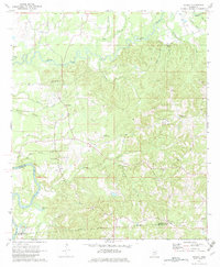
1971 Map of Schley
USGS Topo · Published 1982About this map
The Strong River and Pearl River converge in this corner of Simpson County, Mississippi, where the landscape is defined by the significant Indian Treaty Boundary running through the southern terrain. This 1971 field-checked survey reveals a rural network of family-named landmarks and community centers, including Bridgeport and several rural congregations such as Pleasant Hill Ch and New Hope Ch. The topography is characterized by intricate drainage systems feeding into the major rivers via Lick Creek, Dry Creek, and Vaughns Creek. Local history is preserved in small burial grounds like the Armstrong-Buckley Cem and Peacock Cem. At Shivers Lookout Tower, the map notes a point of high elevation overlooking the timbered ridges and gravel pits that supported the local economy. The detailed marking of fence and field lines offers genealogists a precise look at property divisions and land use during the late 1960s and early 1970s.
Find a feature on this map
41 named features on this map. Tap any name to fly to it.
Don’t see what you’re looking for? This feature index may not catch every label — zoom into the map to look around manually.
Map Details
Editions of this 1971 Schley Map
2 editions found
Other maps of this area

1953 · Hattiesburg
USGS Topo · 1:250,000

1953 · Natchez
USGS Topo · 1:250,000

1956 · Natchez
USGS Topo · 1:250,000

1958 · Hattiesburg
USGS Topo · 1:250,000

1959 · Natchez
USGS Topo · 1:250,000
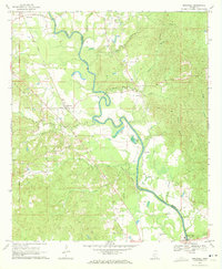
1970 · Hopewell
USGS Topo · 1:24,000
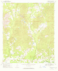
1970 · Harrisville
USGS Topo · 1:24,000
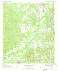
1970 · Mendenhall West
USGS Topo · 1:24,000

1970 · New Hebron
USGS Topo · 1:24,000

1971 · Schley
USGS Topo · 1:24,000