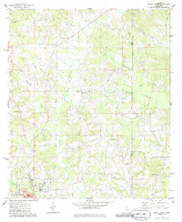
1975 Map of Magee North
USGS Topo · Published 1986About this map
The Indian Treaty Boundary cuts through the piney woods of South Central Mississippi, separating Simpson and Smith Counties in this mid-1970s survey. The northern reaches of Magee and the small settlement of Upton serve as focal points for a landscape defined by an intricate network of waterways, including Okatoma Creek, Hatchapaloo Creek, and Big Creek. Genealogical interest is particularly high here, with numerous rural landmarks such as Kennedy Springs Ch Cem, Gregory Cem, and New Bethlehem Ch dotting the hillsides. Industrial activity is concentrated in several Gravel Pits and an active Oil Field near the southern boundary, while a large Pipeline traverses the eastern sections. This documentation captures the area before modern expansion, preserving the locations of family-named features like Marlin No 2 and the Maddox community.
Find a feature on this map
36 named features on this map. Tap any name to fly to it.
Don’t see what you’re looking for? This feature index may not catch every label — zoom into the map to look around manually.
Map Details
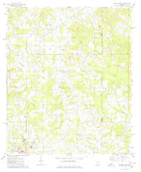
Editions of this 1975 Magee North Map
2 editions found
Other maps of this area

1935 · White Oak
USGS Topo · 1:24,000

1953 · Hattiesburg
USGS Topo · 1:250,000

1953 · Meridian
USGS Topo · 1:250,000

1957 · Meridian
USGS Topo · 1:250,000

1958 · Hattiesburg
USGS Topo · 1:250,000

1965 · Meridian
USGS Topo · 1:250,000

1968 · White Oak
USGS Topo · 1:24,000
1968 · Puckett
USGS Topo · 1:24,000

1968 · Raleigh
USGS Topo · 1:24,000

1970 · Mendenhall East
USGS Topo · 1:24,000