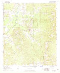
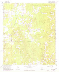
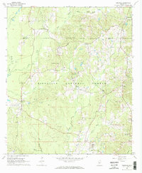
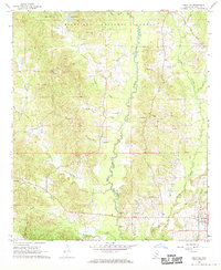
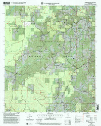
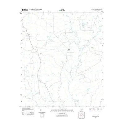
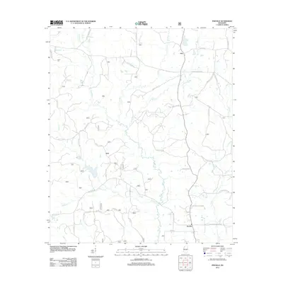
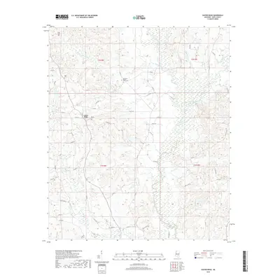
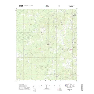
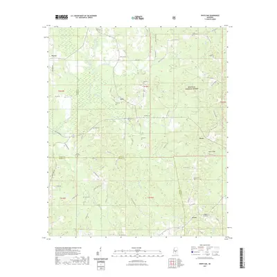
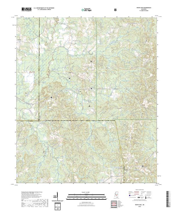
1968 Map of White Oak
USGS Topo · Published 1970About this map
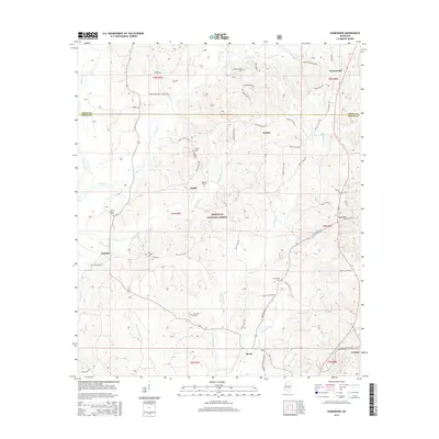
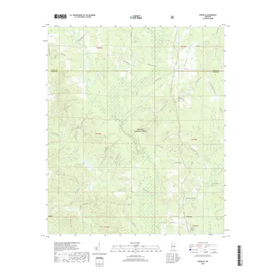
The Strong River winds through the western reaches of this Smith County landscape, defining a terrain of creeks and timber during the late 1960s. The eastern portion is dominated by the Bienville National Forest, while the central area is anchored by the community of White Oak. The map reveals a deeply rooted rural infrastructure, evidenced by numerous family-named burial grounds such as Miley Cem, Everett Cem, and Dukes Cem.
Find a feature on this map
30 named features on this map. Tap any name to fly to it.
Don’t see what you’re looking for? This feature index may not catch every label — zoom into the map to look around manually.
Map Details
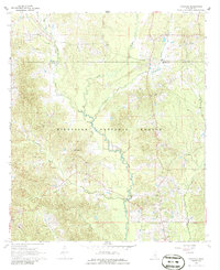
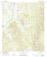
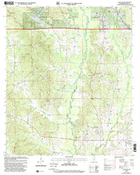
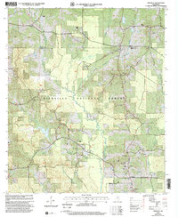
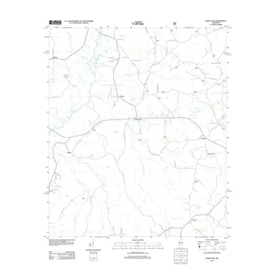
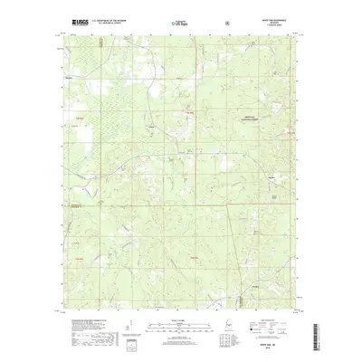
Editions of this 1968 White Oak Map
3 editions found
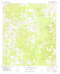
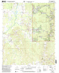
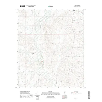
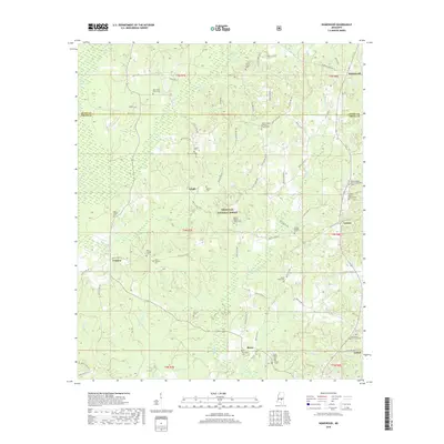
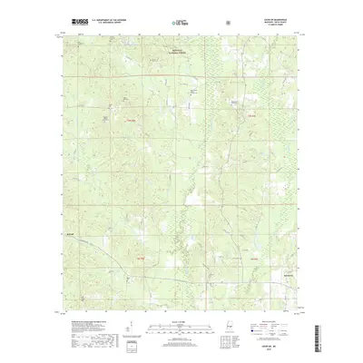
Historical Maps of Heater Through Time
41 maps found
1935 White Oak
Smith County, MS
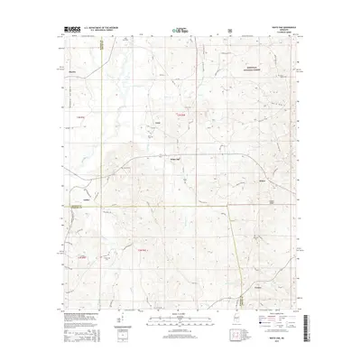
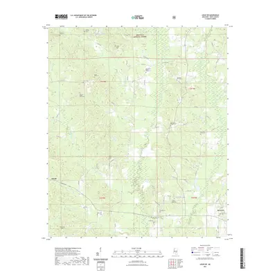
1968 Homewood
Smith County, MS
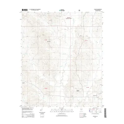
1968 Louin SW
Smith County, MS
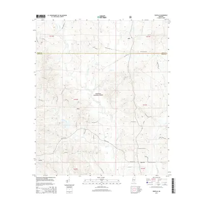
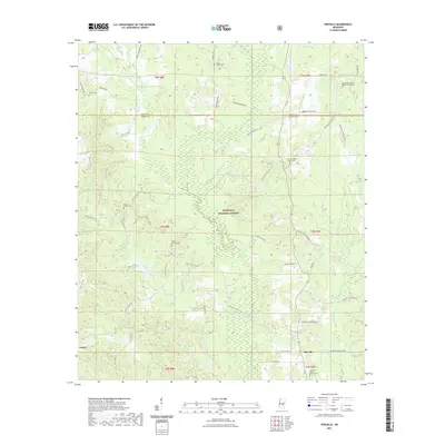
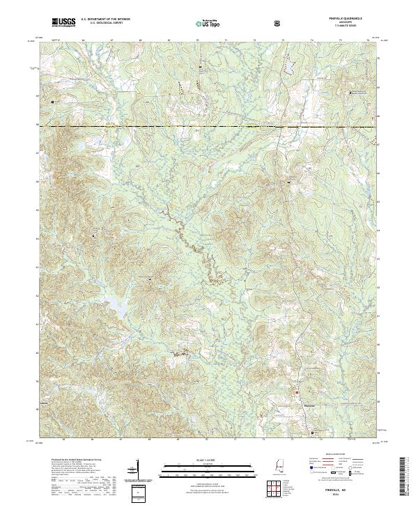
1968 Pineville
Smith County, MS
1968 White Oak
Smith County, MS
1975 Center Ridge
Smith County, MS

1975 Cohay
Smith County, MS
2000 Homewood
Smith County, MS
2000 Louin SW
Smith County, MS
2000 Pineville
Smith County, MS
2000 White Oak
Smith County, MS
2012 Center Ridge
Smith County, MS
2012 Cohay
Smith County, MS
2012 Homewood
Smith County, MS
2012 Louin SW
Smith County, MS
2012 Pineville
Smith County, MS
2012 White Oak
Smith County, MS
2015 Center Ridge
Smith County, MS
2015 Cohay
Smith County, MS
2015 Homewood
Smith County, MS
2015 Louin SW
Smith County, MS
2015 Pineville
Smith County, MS
2015 White Oak
Smith County, MS
2018 Center Ridge
Smith County, MS
2018 Cohay
Smith County, MS
2018 Homewood
Smith County, MS
2018 Louin SW
Smith County, MS
2018 Pineville
Smith County, MS
2018 White Oak
Smith County, MS
2020 Center Ridge
Smith County, MS
2020 Cohay
Smith County, MS
2021 Homewood
Smith County, MS
2021 Louin SW
Smith County, MS
2021 Pineville
Smith County, MS
2021 White Oak
Smith County, MS
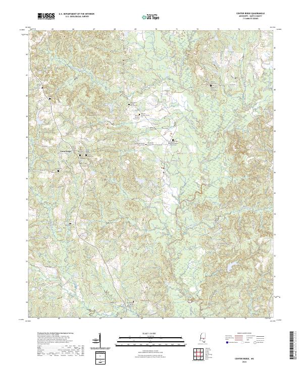
2024 Center Ridge
Smith County, MS
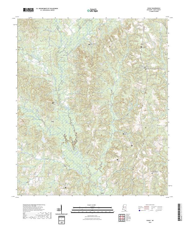
2024 Cohay
Smith County, MS
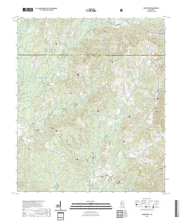
2024 Homewood
Smith County, MS
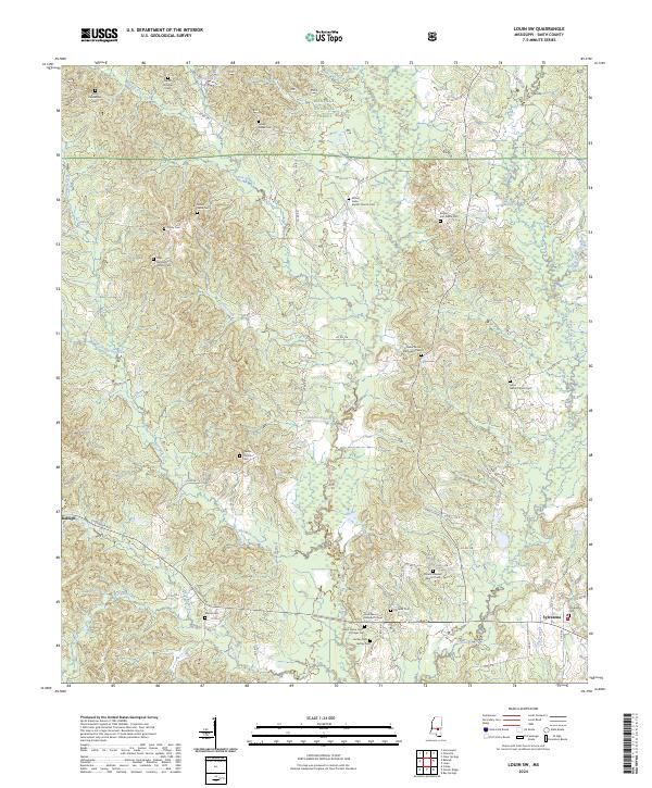
2024 Louin SW
Smith County, MS
2024 Pineville
Smith County, MS
2024 White Oak
Smith County, MS