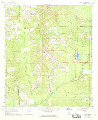
1968 Map of Polkville
USGS Topo · Published 1970About this map
The Old Indian Treaty Boundary slices through the center of this landscape, marking a historical line of demarcation that shaped local land patterns long after its establishment. Centered on the community of Polkville, the area is defined by a dense network of country churches and family-linked landmarks across the borders of Rankin, Scott, and Smith Counties. The eastern portion of the sheet is dominated by the Bienville National Forest, where the Strong River and Beech River converge near Beaver Lake.
Find a feature on this map
32 named features on this map. Tap any name to fly to it.
Don’t see what you’re looking for? This feature index may not catch every label — zoom into the map to look around manually.
Map Details
Editions of this 1968 Polkville Map
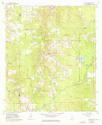
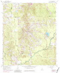
Other maps of this area

1922 · Morton
USGS Topo · 1:48,000

1922 · Pelahatchee
USGS Topo · 1:48,000

1924 · Pelahatchee
USGS Topo · 1:62,500

1924 · Morton
USGS Topo · 1:62,500

1935 · White Oak
USGS Topo · 1:24,000

1950 · Pelahatchie
USGS Topo · 1:62,500

1951 · Morton
USGS Topo · 1:62,500

1952 · Pelahatchie
USGS Topo · 1:62,500

1953 · Meridian
USGS Topo · 1:250,000

1957 · Meridian
USGS Topo · 1:250,000