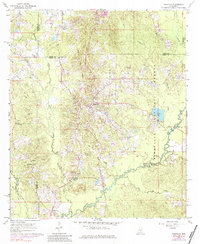
1968 Map of Polkville
USGS Topo · Published 1984About this map
The Polkville community sits at a high point of this 1968 survey, where the winding Strong River and Raspberry Creek shape the rural landscape of Smith and Rankin counties. This era of the landscape is defined by its deep spiritual and civic roots, evidenced by numerous country churches such as Piney Grove Ch, Homestead Ch, and New Prospect Ch. A significant historical landmark, the Indian Treaty Boundary, cuts through the terrain, marking a legacy of early territorial divisions that predated the establishment of the Bienville National Forest.
Find a feature on this map
31 named features on this map. Tap any name to fly to it.
Don’t see what you’re looking for? This feature index may not catch every label — zoom into the map to look around manually.
Map Details
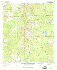
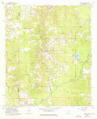
Editions of this 1968 Polkville Map
Other maps of this area

1922 · Morton
USGS Topo · 1:48,000

1922 · Pelahatchee
USGS Topo · 1:48,000

1924 · Pelahatchee
USGS Topo · 1:62,500

1924 · Morton
USGS Topo · 1:62,500

1935 · White Oak
USGS Topo · 1:24,000

1950 · Pelahatchie
USGS Topo · 1:62,500

1951 · Morton
USGS Topo · 1:62,500

1952 · Pelahatchie
USGS Topo · 1:62,500

1953 · Meridian
USGS Topo · 1:250,000

1957 · Meridian
USGS Topo · 1:250,000