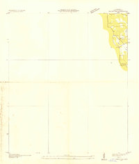
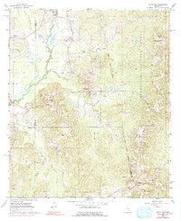
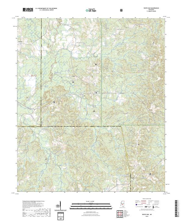
1935 Map of White Oak
USGS Topo · Published 1935About this map
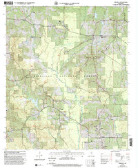
White Oak emerges as a small rural settlement in Prentiss County during this mid-1930s field examination. The landscape is defined by the drainage of Glausel Creek, where the local community was served by the Snowdown Sch. This advance sheet, compiled from aerial photographs by the Tennessee Valley Authority and the U.S. Geological Survey, captures a specific moment in the infrastructure of northern Mississippi, including the presence of the T Tr RY 66 line. The map primarily documents the eastern edge of the quadrangle, illustrating the early 20th-century road patterns and ridge lines that dictated the development of these small upland communities before significant post-war modernization altered the rural geography.
Find a feature on this map
4 named features on this map. Tap any name to fly to it.
Don’t see what you’re looking for? This feature index may not catch every label — zoom into the map to look around manually.
Map Details
Editions of this 1935 White Oak Map
This is the sole edition of this map. No revisions or reprints were ever made.
Historical Maps of Heater Through Time
41 maps found
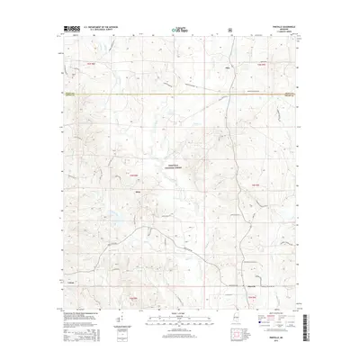
1935 White Oak
Smith County, MS
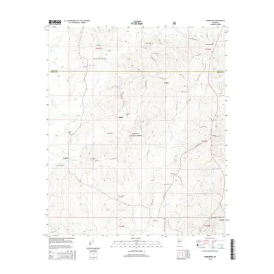
1968 Homewood
Smith County, MS
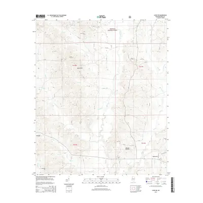
1968 Louin SW
Smith County, MS
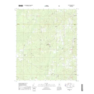
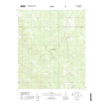
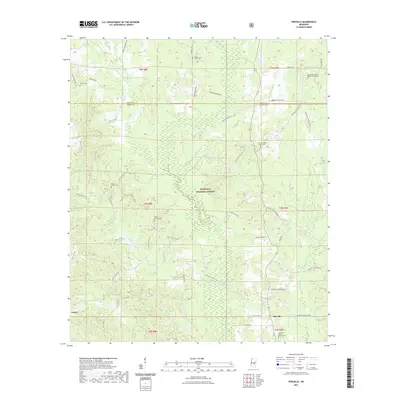
1968 Pineville
Smith County, MS
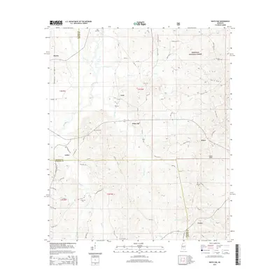
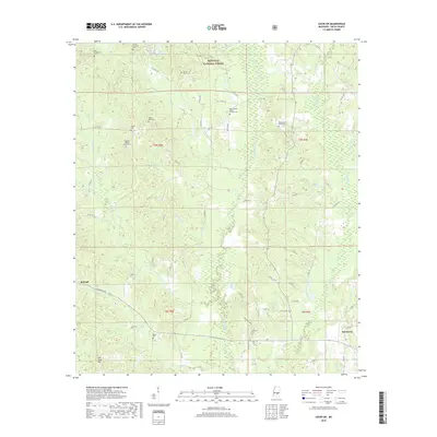
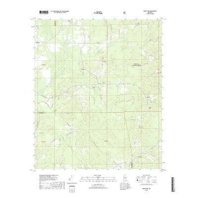
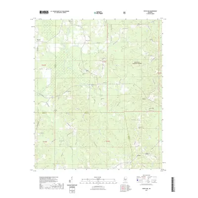
1968 White Oak
Smith County, MS
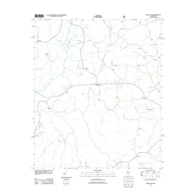
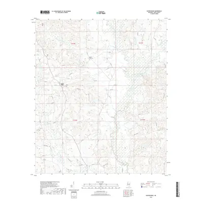
1975 Center Ridge
Smith County, MS

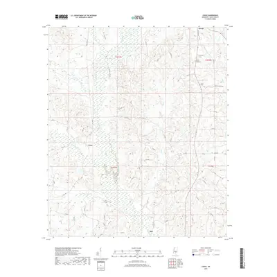
1975 Cohay
Smith County, MS
2000 Homewood
Smith County, MS
2000 Louin SW
Smith County, MS
2000 Pineville
Smith County, MS
2000 White Oak
Smith County, MS
2012 Center Ridge
Smith County, MS
2012 Cohay
Smith County, MS
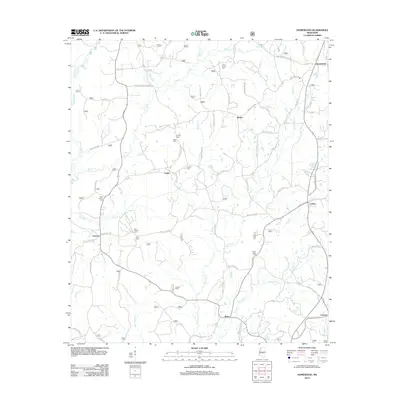
2012 Homewood
Smith County, MS
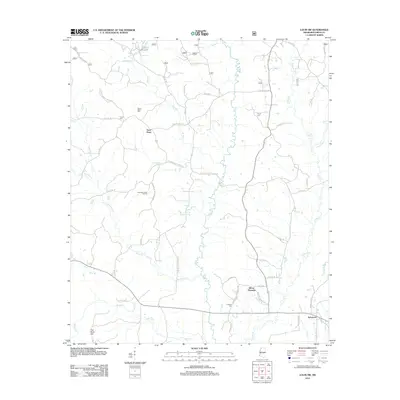
2012 Louin SW
Smith County, MS
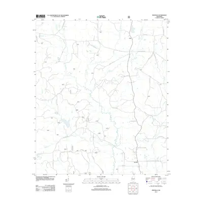
2012 Pineville
Smith County, MS
2012 White Oak
Smith County, MS
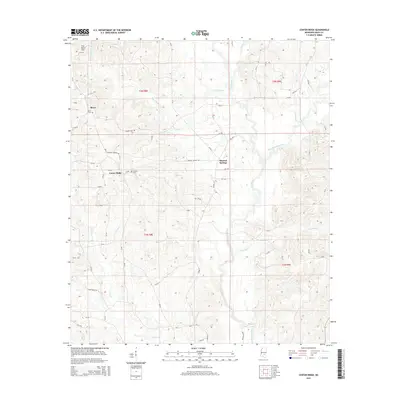
2015 Center Ridge
Smith County, MS
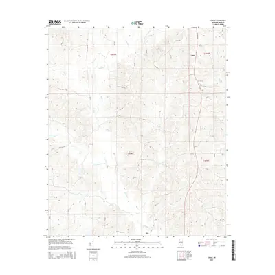
2015 Cohay
Smith County, MS
2015 Homewood
Smith County, MS
2015 Louin SW
Smith County, MS
2015 Pineville
Smith County, MS
2015 White Oak
Smith County, MS
2018 Center Ridge
Smith County, MS
2018 Cohay
Smith County, MS
2018 Homewood
Smith County, MS
2018 Louin SW
Smith County, MS
2018 Pineville
Smith County, MS
2018 White Oak
Smith County, MS
2020 Center Ridge
Smith County, MS
2020 Cohay
Smith County, MS
2021 Homewood
Smith County, MS
2021 Louin SW
Smith County, MS
2021 Pineville
Smith County, MS
2021 White Oak
Smith County, MS
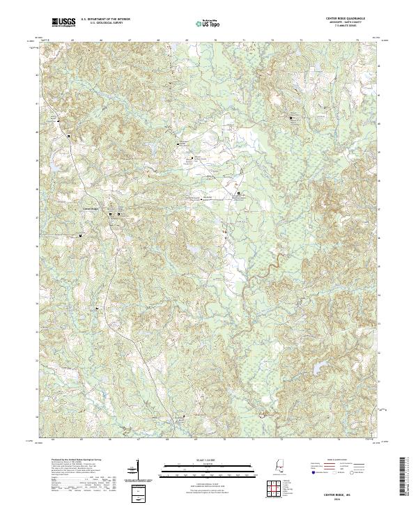
2024 Center Ridge
Smith County, MS
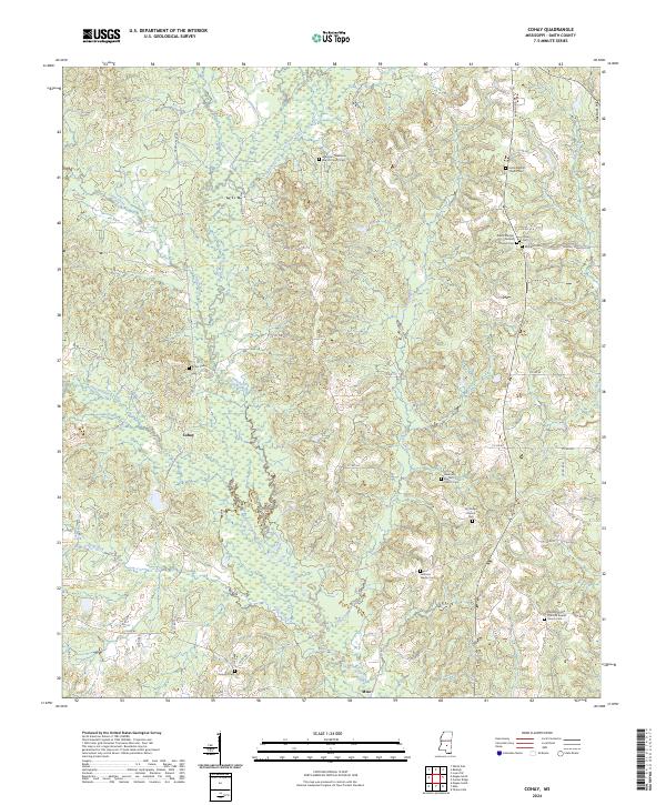
2024 Cohay
Smith County, MS
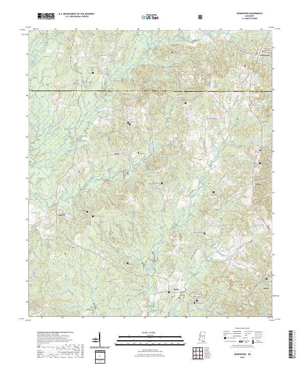
2024 Homewood
Smith County, MS
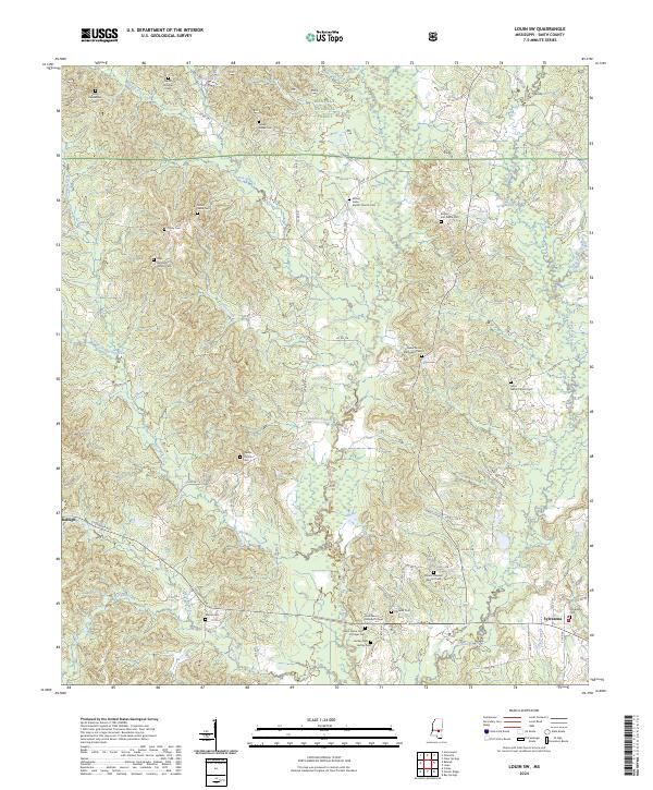
2024 Louin SW
Smith County, MS
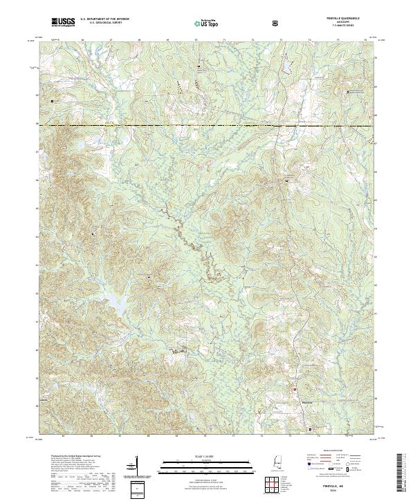
2024 Pineville
Smith County, MS
2024 White Oak
Smith County, MS