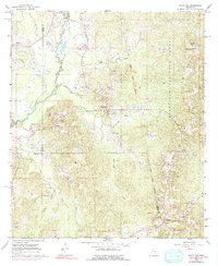
1968 Map of White Oak
USGS Topo · Published 1991About this map
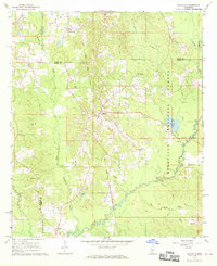
The Strong River winds through the western reaches of this 1960s Mississippi landscape, defining a terrain shaped by both natural drainage and early petroleum exploration. The Puckett Oil and Gas Field stands out as a significant industrial feature, marked by several active wells and a pipeline network cutting across the rolling hills. This survey records a deep historical layer through the presence of the Old Indian Treaty Boundary, which slashes diagonally across the southeastern corner of the quadrangle, reflecting colonial-era land divisions that persisted into the modern surveying era.
Find a feature on this map
32 named features on this map. Tap any name to fly to it.
Don’t see what you’re looking for? This feature index may not catch every label — zoom into the map to look around manually.
Map Details
Editions of this 1968 White Oak Map
3 editions found
Other maps of this area

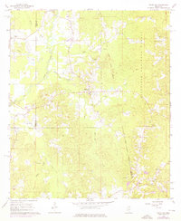
1935 · White Oak
USGS Topo · 1:24,000

1953 · Hattiesburg
USGS Topo · 1:250,000

1953 · Meridian
USGS Topo · 1:250,000

1957 · Meridian
USGS Topo · 1:250,000

1958 · Hattiesburg
USGS Topo · 1:250,000

1965 · Meridian
USGS Topo · 1:250,000
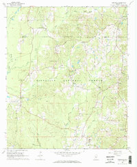
1968 · Homewood
USGS Topo · 1:24,000

1968 · White Oak
USGS Topo · 1:24,000
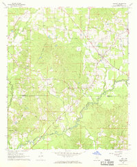
1968 · Puckett
USGS Topo · 1:24,000
1968 · Polkville
USGS Topo · 1:24,000