Old Maps of Tallahoma, Mississippi for Academic Research
Study the evolution of Tallahoma with 12 high-resolution historic maps. Whether you're teaching, researching, or modeling changes in land use, these maps provide essential visual documentation of urban, environmental, and geographic change.
- Analyze long-term change: Track patterns in development, transportation, and natural features.
- Ideal for environmental or urban studies: Support academic projects with primary historical map data.
- Use in the classroom or lab: Educators and researchers rely on these maps to bring historical context to life.
These maps are a powerful tool for teaching, research, and visualizing how Tallahoma has changed over the decades.
Tallahoma, MS maps
(12)- 1953 Map of Hattiesburg, 1965 Print
 1953 Hattiesburg1965 Print · USGSSouth Mississippi and western Alabama are shown here during the mid-twentieth century as the timber and rail industries shaped the region. Genealogists and historians can trace rail lines like the Mississippi Central and locate rural centers such as Magee, Richton, and Mount Vernon.4 unique versions available
 - 1958 Map of Hattiesburg
 1958 Hattiesburg1958 Print · USGSSoutheastern Mississippi's timber and rail networks are at their peak during the late fifties, centered on the growing hubs of Hattiesburg and Laurel. Researchers can trace old family landmarks like Sims Chapel, the Busbey Game Refuge, and the vanished stops along the Mississippi Central railroad.2 unique versions available
 - 1964 Map of Lanham, 1966 Print
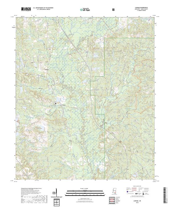
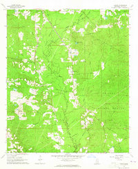 1964 Lanham1966 Print · USGSJones County, Mississippi, was defined by its vast timberlands and the quiet presence of the De Soto National Forest during the mid-sixties. Genealogists and historians can trace local landmarks like Mt Moriah Ch and the Gulf Mobile and Ohio railroad line.2 unique versions available
 - 1984 Map of Hattiesburg
 1984 Hattiesburg1984 Print · USGSSouth Mississippi’s Pine Belt is seen here in the mid-eighties, showing the region as a hub of timber production and petroleum extraction. Trace the rail lines of the Illinois Central Gulf RR through old settlements like Richton or the energy developments at the Heidelberg Oil Field.2 unique versions available
 - 1984 Map of Laurel
 1984 Laurel1984 Print · USGSCentral Mississippi in the mid-eighties shows a landscape of timberlands and river valleys anchored by the growth of Laurel. Genealogists can trace family names near Oak Grove Ch, rural School sites, and settlements along the Illinois Central Gulf RR.
 - 1994 Map of Laurel
 1994 Laurel1994 Print · USGSThe piney woods of south-central Mississippi come into focus in the 1990s, centered on the timber and industrial hub of Laurel. Genealogists and researchers can trace the rural landscape between Collins and Bay Springs or locate homesites near Ellisville and Magee.
 - 2000 Map of Lanham, 2002 Print
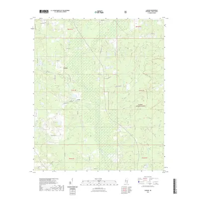
 2000 Lanham2002 Print · USGSJones County at the turn of the century is shown as a hub of managed timberlands and recreational trails. Researchers can locate family landmarks like Tucker Cemetery and Good Hope Church alongside the winding Bogue Homo river system.
 - 2012 Map of Lanham, 2012 Print
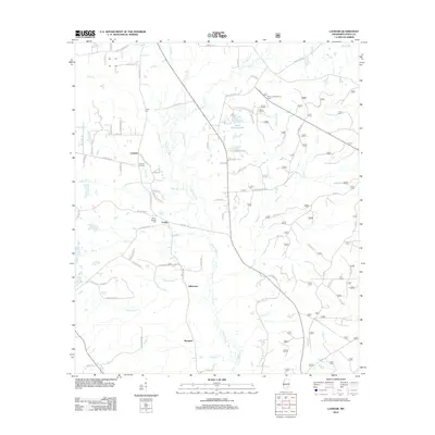 2012 Lanham2012 Print · USGSCovers Tallahoma, including Crotts, Lanham, and other nearby areas
 - 2015 Map of Lanham, 2015 Print
 2015 Lanham2015 Print · USGSCovers Tallahoma, including Crotts, Lanham, and other nearby areas
 - 2018 Map of Lanham, 2018 Print
 2018 Lanham2018 Print · USGSCovers Tallahoma, including Crotts, Lanham, and other nearby areas
 - 2021 Map of Lanham, 2021 Print
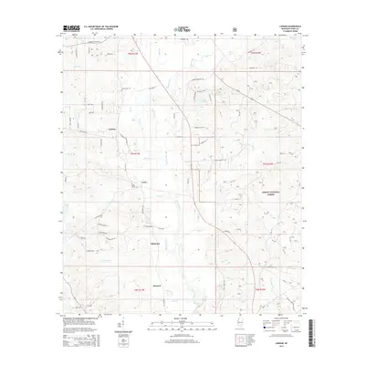
 2021 Lanham2021 Print · USGSCovers Tallahoma, including Crotts, Lanham, and other nearby areas
 - 2024 Map of Lanham, 2024 Print
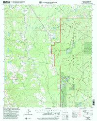
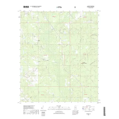
 2024 Lanham2024 Print · USGSJones County at the modern day remains a landscape of managed timberlands and quiet rural crossings south of Laurel. Genealogists can locate family landmarks like Tucker Cem and Mount Moriah Cem near the old settlements of Lanham and Crotts.
End of results
Showing maps 1-12 of 12
Top cities near Tallahoma
- Hattiesburg historical maps
- Laurel historical maps
- Petal historical maps
- Ellisville historical maps
- Richton historical maps
- Soso historical maps
Frequently asked questions
- What are the different types of historical maps available for Tallahoma?
- What is the oldest map of Tallahoma?
- Where can I purchase historical maps of Tallahoma for my home or office?
- Where can I download high-res historical maps of Tallahoma?
- Are there historical topographic maps available for Tallahoma?
- Is there historical aerial imagery available for Tallahoma?
- Where are historical maps of Tallahoma sourced from?