Old Maps of Lost Gap, Mississippi for Hiking & Exploration
Hike through history with 11 historic maps of Lost Gap. Explore old trails, ghost towns, and forgotten backroads — perfect for outdoor adventurers and local explorers.
- Rediscover forgotten places: Map out old mining camps, roads, and footpaths that no longer exist on modern maps.
- Layer with modern tools: Combine with LiDAR or satellite views to plan hikes through historical terrain.
- Made for exploration: Popular among hikers, overlanders, and local history lovers.
Use these maps to find adventure and explore the hidden past of Lost Gap.
Lost Gap, MS maps
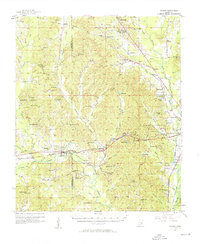
(11)- 1953 Map of Meridian, 1966 Print
 1953 Meridian1966 Print · USGSEast Central Mississippi and the Alabama borderlands are captured here during a period of steady growth and infrastructure expansion. Genealogists and historians can trace rail-town development along the Gulf Mobile & Ohio Railroad and find early settlements like Scooba, Pelahatchie, and De Kalb.2 unique versions available
 - 1957 Map of Meridian
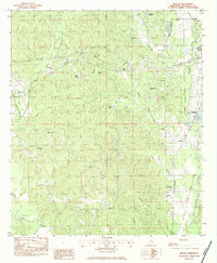
 1957 Meridian1957 Print · USGSEast Central Mississippi and parts of Western Alabama come alive in the mid-1950s, centered on the transit hub of Meridian. Researchers can trace old rail lines like the Illinois Central and find historic sites such as the Choctaw Indian Reservation and Roosevelt State Park.
 - 1957 Map of Chunky, 1958 Print
 1957 Chunky1958 Print · USGSNewton and Lauderdale counties come alive in the mid-1950s, showing a landscape defined by the intersection of three major railroads. Researchers can locate numerous rural landmarks such as Pine Forest Academy, Mt Moriah Ch, and the settlement of Meehan.2 unique versions available
 - 1965 Map of Meridian
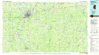
 1965 Meridian1965 Print · USGSEast Mississippi and West Alabama are mapped here in the mid-sixties as the region's modern highway and reservoir systems began to take shape. Researchers can trace rural lineages through local landmarks like Prince Chapel and Tuscahoma Landing, or follow the historic Gulf Mobile & Ohio rail lines.
 - 1982 Map of Meehan, 1983 Print
 1982 Meehan1983 Print · USGSLauderdale County at the dawn of the 1980s shows a landscape of rural communities tied together by the Illinois Central Gulf rail line. Genealogists and local historians can trace family locations through Tunnel Hill Cem, Savoy, and the many country churches like Golden Grove Ch.
 - 1984 Map of Meridian
 1984 Meridian1984 Print · USGSEastern Mississippi and Western Alabama come alive in the mid-1980s, showing the expansion of Meridian and the surrounding timber and river lands. Genealogists and researchers can trace family landmarks like Memorial Park Cem, the Pine Springs church, and the rural roads near Kewanee.3 unique versions available
 - 2012 Map of Meehan, 2012 Print
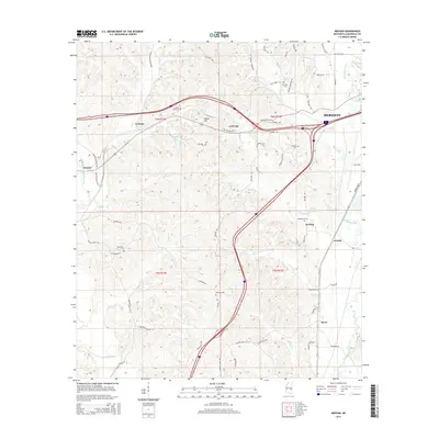
 2012 Meehan2012 Print · USGSCovers Lost Gap, including Meridian, Meehan, and other nearby areas
 - 2015 Map of Meehan, 2015 Print
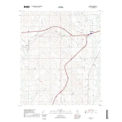
 2015 Meehan2015 Print · USGSCovers Lost Gap, including Meridian, Meehan, and other nearby areas
 - 2018 Map of Meehan, 2018 Print
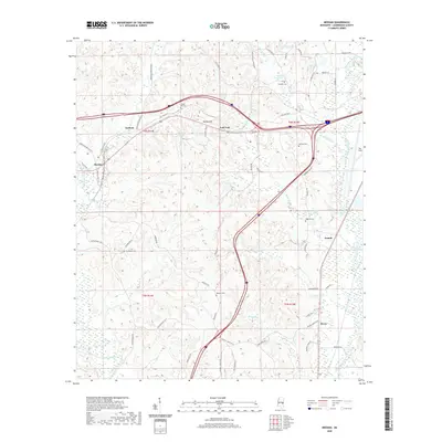
 2018 Meehan2018 Print · USGSCovers Lost Gap, including Meridian, Meehan, and other nearby areas
 - 2020 Map of Meehan, 2020 Print
 2020 Meehan2020 Print · USGSCovers Lost Gap, including Meridian, Meehan, and other nearby areas
 - 2024 Map of Meehan, 2024 Print
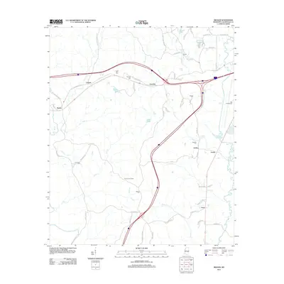
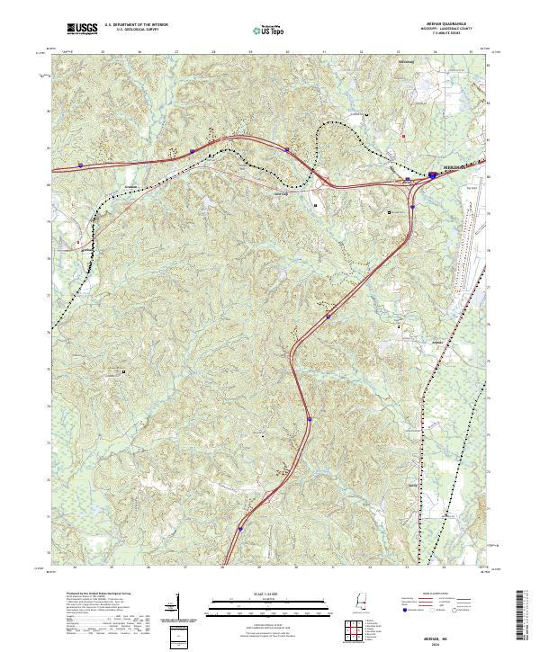 2024 Meehan2024 Print · USGSLauderdale County's rural landscapes and railroad settlements are captured here in the contemporary era. Researchers can trace family history through numerous burial sites like Tunnel Hill Cem or locate the Meridian National Fish Hatchery.
End of results
Showing maps 1-11 of 11
Top cities near Lost Gap
- Meridian historical maps
- Marion historical maps
- Stonewall historical maps
- Hickory historical maps
- Enterprise historical maps
- Chunky historical maps
Frequently asked questions
- What are the different types of historical maps available for Lost Gap?
- What is the oldest map of Lost Gap?
- Where can I purchase historical maps of Lost Gap for my home or office?
- Where can I download high-res historical maps of Lost Gap?
- Are there historical topographic maps available for Lost Gap?
- Is there historical aerial imagery available for Lost Gap?
- Where are historical maps of Lost Gap sourced from?