2020s Maps of Meridian, Mississippi
Explore 12 historic maps of Meridian from the 2020s. These maps offer a rare glimpse into what life looked like during the 2020s — showing old roads, neighborhoods, homes, and landmarks that have changed or disappeared over time.
Whether you're researching your family's past, planning a metal detecting trip, or studying how Meridian's landscape evolved across the 2020s, these high-resolution maps are a powerful tool for exploring the history of this region.
- Focus on a specific era: All maps on this page are from the 2020s, giving you a focused view of this time period.
- See what’s changed: Compare century-old streets, trails, and buildings to today's modern landscape using overlays and satellite layers.
- Research with precision: Use these maps for genealogy, historical research, land use analysis, or educational projects.
- View, download, or print: Maps are fully viewable online in high resolution, and can be downloaded or printed for your own records.
Start exploring Meridian's history through authentic maps from the 2020s. This is your window into the past.
Meridian, MS maps
(12)- 2020 Map of Vimville, 2020 Print
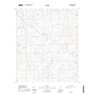 2020 Vimville2020 Print · USGSCovers Meridian, including Cliff Williams, Enzor, and other nearby areas
 - 2020 Map of Meehan, 2020 Print
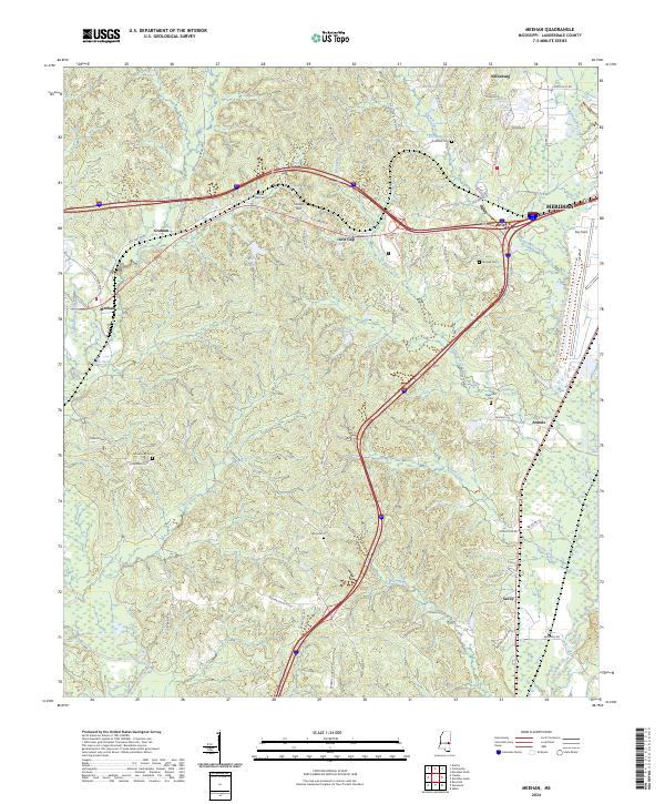
 2020 Meehan2020 Print · USGSCovers Meridian, including Meehan, Graham, and other nearby areas
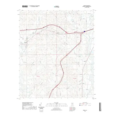
 - 2020 Map of Meridian North, 2020 Print
 2020 Meridian North2020 Print · USGSCovers Meridian, including Marion, Bailey, and other nearby areas
 - 2020 Map of Toomsuba, 2020 Print
 2020 Toomsuba2020 Print · USGSCovers Meridian, including Russell, Topton, and other nearby areas
 - 2020 Map of Meridian South, 2020 Print
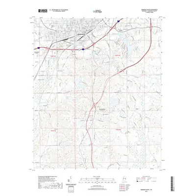 2020 Meridian South2020 Print · USGSCovers Meridian, including Wolf Springs, Stinson, and other nearby areas
 - 2020 Map of Collinsville, 2020 Print
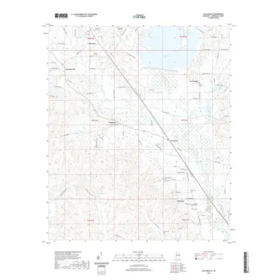 2020 Collinsville2020 Print · USGSCovers Meridian, including Pine Springs, Moseley, and other nearby areas
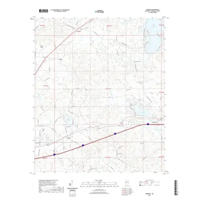
 - 2024 Map of Toomsuba, 2024 Print
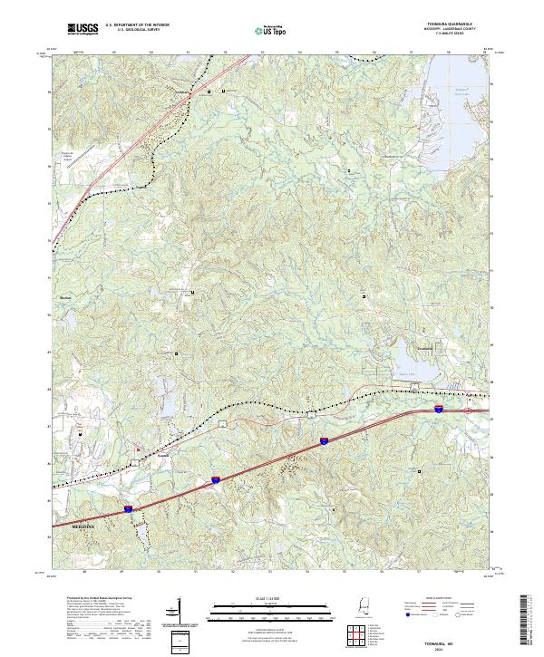 2024 Toomsuba2024 Print · USGSLauderdale County's rural landscape east of Meridian is documented here in the early twenty-first century. Genealogists and historians can trace family roots through numerous burial sites like Old Marion Cem and Pigford Cem or locate community hubs in Toomsuba and Russell.
 - 2024 Map of Meehan, 2024 Print
 2024 Meehan2024 Print · USGSLauderdale County's rural landscapes and railroad settlements are captured here in the contemporary era. Researchers can trace family history through numerous burial sites like Tunnel Hill Cem or locate the Meridian National Fish Hatchery.
 - 2024 Map of Meridian North, 2024 Print
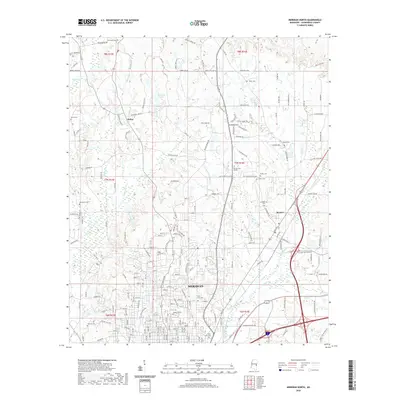
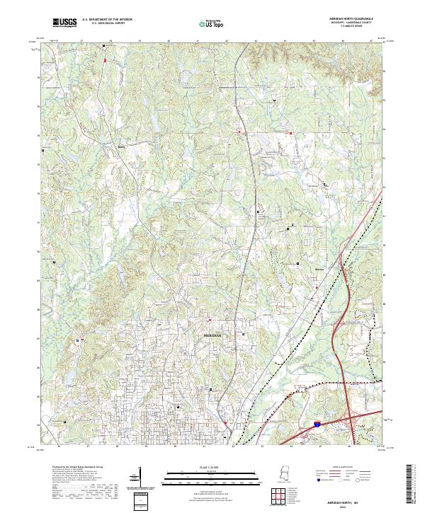 2024 Meridian North2024 Print · USGSLauderdale County comes into sharp focus during this recent era as the city of Meridian expands into the surrounding timberlands. Researchers can trace family history through numerous sites like Magnolia Cem, Beth-Israel Cem, and the Confederate Cem.
 - 2024 Map of Vimville, 2024 Print
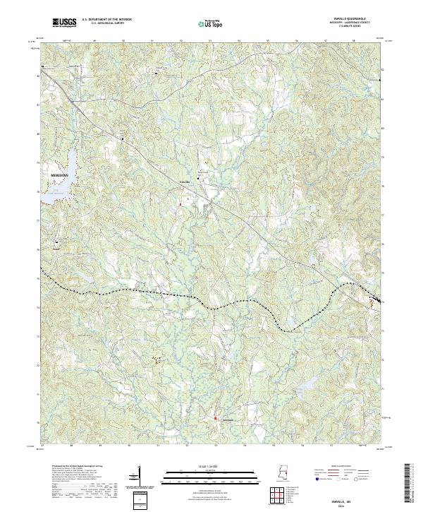 2024 Vimville2024 Print · USGSLauderdale County east of Meridian is documented here in the early 2020s, showing a landscape of small settlements and creeks. Researchers can locate community landmarks such as Vimville, Coker Chapel Cem, and the headwaters of Buckatunna Creek.
 - 2024 Map of Meridian South, 2024 Print
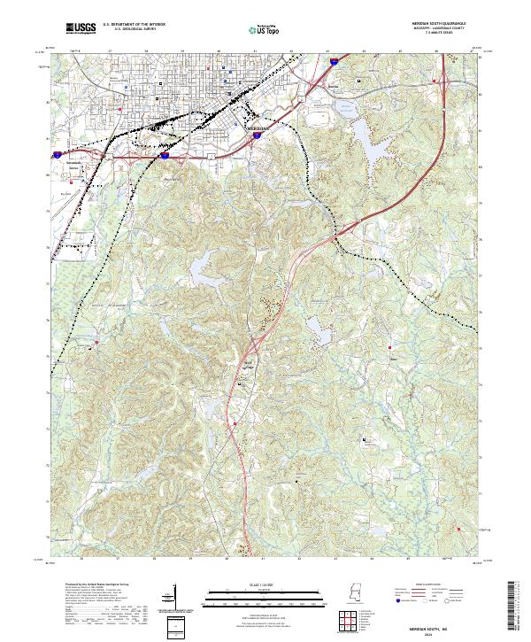 2024 Meridian South2024 Print · USGSThe city of Meridian and its southern outskirts are shown here in the 2020s, revealing the dense urban grid of the county seat alongside its rural reaches. Researchers can trace family history at Rose Hill Cem, locate the Lauderdale County Courthouse, or explore the grounds of the Meridian National Fish Hatchery.
 - 2024 Map of Collinsville, 2024 Print
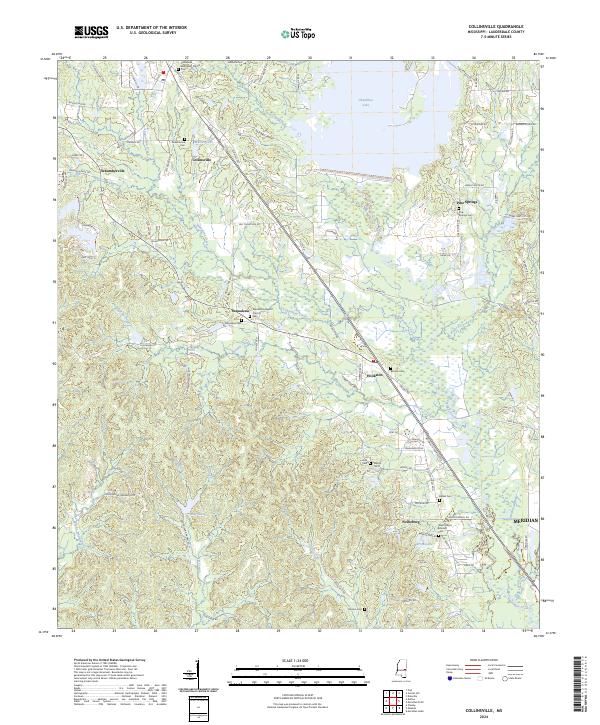 2024 Collinsville2024 Print · USGSLauderdale County's rural landscape is captured here in the 2020s, showcasing the intricate water systems and small communities north of Meridian. Researchers can locate family landmarks like Cedar Grove Cem, Macedonia Baptist Church, and the settlement of Schamberville.
End of results
Showing maps 1-12 of 12
Top cities near Meridian
Top neighborhoods of Meridian
- Poplar Springs historical maps
- Houston historical maps
- Bonita historical maps
- Complete historical maps
- Key Brothers Industrial Park historical maps
- Savannah Grove historical maps
Frequently asked questions
- What are the different types of historical maps available for Meridian?
- What is the oldest map of Meridian?
- Where can I purchase historical maps of Meridian for my home or office?
- Where can I download high-res historical maps of Meridian?
- Are there historical topographic maps available for Meridian?
- Is there historical aerial imagery available for Meridian?
- Where are historical maps of Meridian sourced from?