2000s (21st Century) Maps of Carthage, Mississippi
Explore 10 historic maps of Carthage from the 2000s (21st Century). These maps offer a rare glimpse into what life looked like during the 2000s — showing old roads, neighborhoods, homes, and landmarks that have changed or disappeared over time.
Whether you're researching your family's past, planning a metal detecting trip, or studying how Carthage's landscape evolved across the 2000s, these high-resolution maps are a powerful tool for exploring the history of this region.
- Focus on a specific era: All maps on this page are from the 2000s, giving you a focused view of this time period.
- See what’s changed: Compare century-old streets, trails, and buildings to today's modern landscape using overlays and satellite layers.
- Research with precision: Use these maps for genealogy, historical research, land use analysis, or educational projects.
- View, download, or print: Maps are fully viewable online in high resolution, and can be downloaded or printed for your own records.
Start exploring Carthage's history through authentic maps from the 2000s. This is your window into the past.
Carthage, MS maps
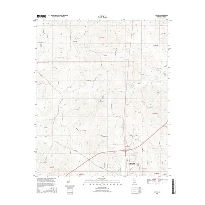
(10)- 2012 Map of Conway, 2012 Print
 2012 Conway2012 Print · USGSCovers Carthage, including Redwater, Conway, and other nearby areas
 - 2012 Map of Carthage, 2012 Print
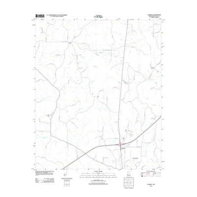
 2012 Carthage2012 Print · USGSCovers Carthage, including Piggtown, Gill, and other nearby areas
 - 2015 Map of Carthage, 2015 Print
 2015 Carthage2015 Print · USGSCovers Carthage, including Piggtown, Gill, and other nearby areas
 - 2015 Map of Conway, 2015 Print
 2015 Conway2015 Print · USGSCovers Carthage, including Redwater, Conway, and other nearby areas
 - 2018 Map of Carthage, 2018 Print
 2018 Carthage2018 Print · USGSCovers Carthage, including Piggtown, Gill, and other nearby areas
 - 2018 Map of Conway, 2018 Print
 2018 Conway2018 Print · USGSCovers Carthage, including Redwater, Conway, and other nearby areas
 - 2020 Map of Carthage, 2020 Print
 2020 Carthage2020 Print · USGSCovers Carthage, including Piggtown, Gill, and other nearby areas
 - 2020 Map of Conway, 2020 Print
 2020 Conway2020 Print · USGSCovers Carthage, including Redwater, Conway, and other nearby areas
 - 2024 Map of Conway, 2024 Print
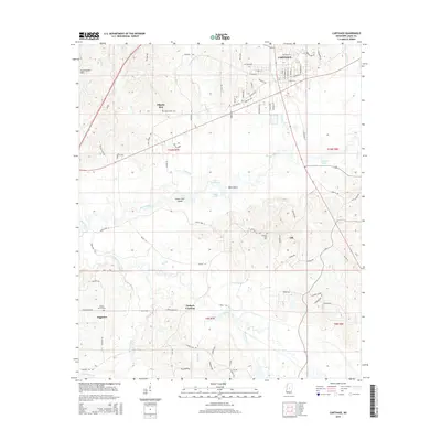
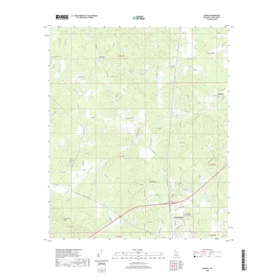
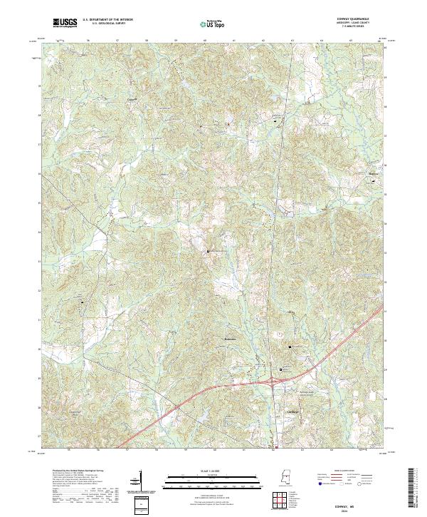 2024 Conway2024 Print · USGSCarthage and the surrounding Leake County countryside appear here in the early 2020s, showing a landscape defined by creeks and timbered hills. Genealogists can trace family landmarks like the Mount Zion Baptist Church Cem, Scott Cem, and the settlement of Hopoca.
 - 2024 Map of Carthage, 2024 Print
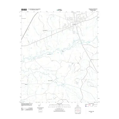
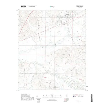
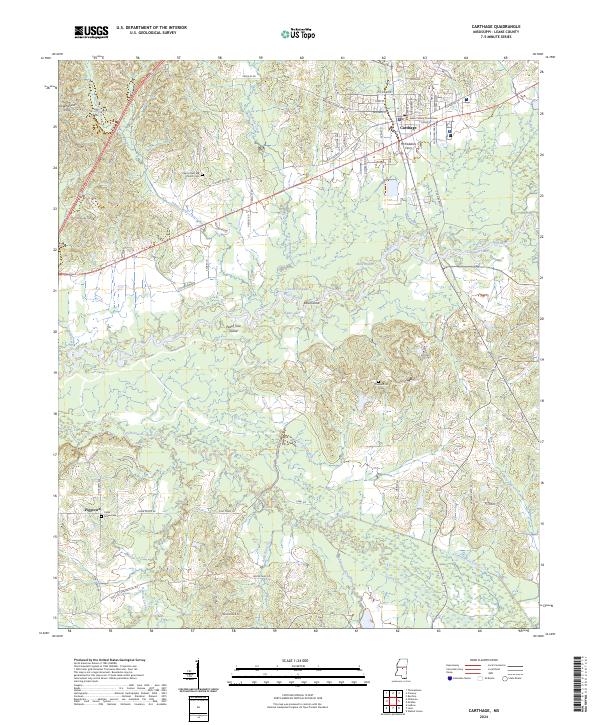 2024 Carthage2024 Print · USGSThe Pearl River and its intricate bayous define this part of Mississippi in the early twenty-first century. Researchers can trace local heritage through landmarks like McFaddens Ferry, the Leake County Courthouse, and the Pilgrim Rest MB Church Cem.
End of results
Showing maps 1-10 of 10
Top cities near Carthage
Frequently asked questions
- What are the different types of historical maps available for Carthage?
- What is the oldest map of Carthage?
- Where can I purchase historical maps of Carthage for my home or office?
- Where can I download high-res historical maps of Carthage?
- Are there historical topographic maps available for Carthage?
- Is there historical aerial imagery available for Carthage?
- Where are historical maps of Carthage sourced from?