Old Maps of Fort Loring Landing, Mississippi for Hiking & Exploration
Hike through history with 11 historic maps of Fort Loring Landing. Explore old trails, ghost towns, and forgotten backroads — perfect for outdoor adventurers and local explorers.
- Rediscover forgotten places: Map out old mining camps, roads, and footpaths that no longer exist on modern maps.
- Layer with modern tools: Combine with LiDAR or satellite views to plan hikes through historical terrain.
- Made for exploration: Popular among hikers, overlanders, and local history lovers.
Use these maps to find adventure and explore the hidden past of Fort Loring Landing.
Fort Loring Landing, MS maps
(11)- 1953 Map of Greenwood, 1966 Print
 1953 Greenwood1966 Print · USGSThe Mississippi Delta in the mid-fifties is captured here as a thriving network of river towns, railroads, and oxbow lakes. Researchers can trace the legacy of the Illinois Central Railroad and locate landmarks like the State Penal Farm and Greenville Air Force Base.5 unique versions available
 - 1956 Map of Greenwood
 1956 Greenwood1956 Print · USGSThe Mississippi Delta in the mid-fifties is captured here during a period of significant military and agricultural activity. Researchers can trace the rail lines of the Illinois Central RR, find the Greenville Air Force Base, or locate the State Penal Farm.
 - 1961 Map of Mossy Lake, 1962 Print
 1961 Mossy Lake1962 Print · USGSLeflore County's intricate Delta wetlands and river bends are captured here in the early sixties, showing a landscape of scattered settlements and rural churches. Researchers can trace the Columbus and Greenville rail line through Itta Bena or locate local landmarks like McIntyre Cem and the Indian Mound.3 unique versions available
 - 1983 Map of Itta Bena, 1984 Print
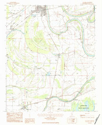 1983 Itta Bena1984 Print · USGSThe Yazoo River bottomlands and the Columbus and Greenville railroad define this Mississippi Delta landscape in the early eighties. Researchers can trace rural lineages through the McIntyre Cem, New Home Ch, and old landings like Sheppardtown.
 - 1984 Map of Indianola, 1985 Print
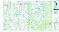 1984 Indianola1985 Print · USGSThe Mississippi Delta of the mid-1980s reveals a landscape of fertile bottomlands shaped by the Sunflower River and Yazoo River. Researchers can trace the rail-and-river economy through landmarks like Saints College, the Leflore Cemetery, and the Columbus and Greenville Railway.
 - 1994 Map of Indianola
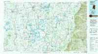 1994 Indianola1994 Print · USGSThe Mississippi Delta's rich agricultural heartland is documented here in the mid-1990s, showing a landscape defined by meandering rivers and rail lines. Genealogists and historians can trace family roots in rural settlements like Nitta Yuma and Midnight or locate the sprawling Yazoo National Wildlife Refuge.
 - 2012 Map of Itta Bena, 2012 Print
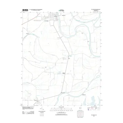 2012 Itta Bena2012 Print · USGSThe Mississippi Delta's agricultural heartland is documented here in the early twenty-first century, showing the enduring influence of the Yazoo River on local settlement. Researchers can trace the layout of Itta Bena or locate rural landmarks like McIntyre Cem and the settlement of Quito.
 - 2015 Map of Itta Bena, 2015 Print
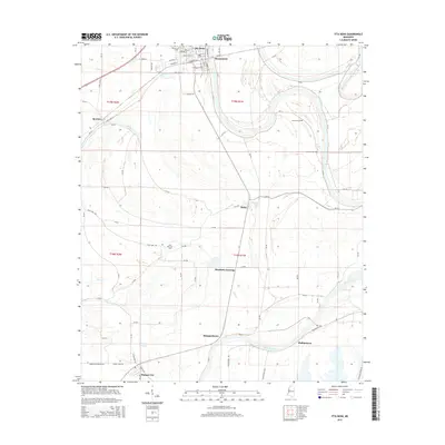 2015 Itta Bena2015 Print · USGSThe Yazoo River delta in Leflore County is shown here in the mid-2010s, capturing the enduring settlement patterns of this river-and-bayou landscape. Researchers can trace rural cemeteries such as McIntyre Cem and historical communities like Sheppardtown, Quito, and Morgan City.
 - 2018 Map of Itta Bena, 2018 Print
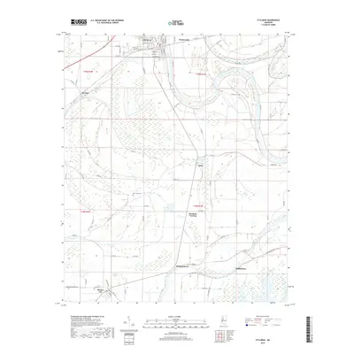 2018 Itta Bena2018 Print · USGSThe Mississippi Delta's agricultural heartland comes into focus in this recent survey of Leflore County. Genealogists and local historians can trace family locations near Itta Bena and Morgan City, or locate rural landmarks like McIntyre Cem and Murdock Crossing.
 - 2020 Map of Itta Bena, 2020 Print
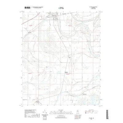 2020 Itta Bena2020 Print · USGSLeflore County at the start of the 2020s shows a classic Mississippi Delta landscape where the Yazoo River defines the local geography. Researchers can trace historic cemeteries and small rural junctions like Quito, Phillipstown, and Bear Creek Cem.
 - 2024 Map of Itta Bena, 2024 Print
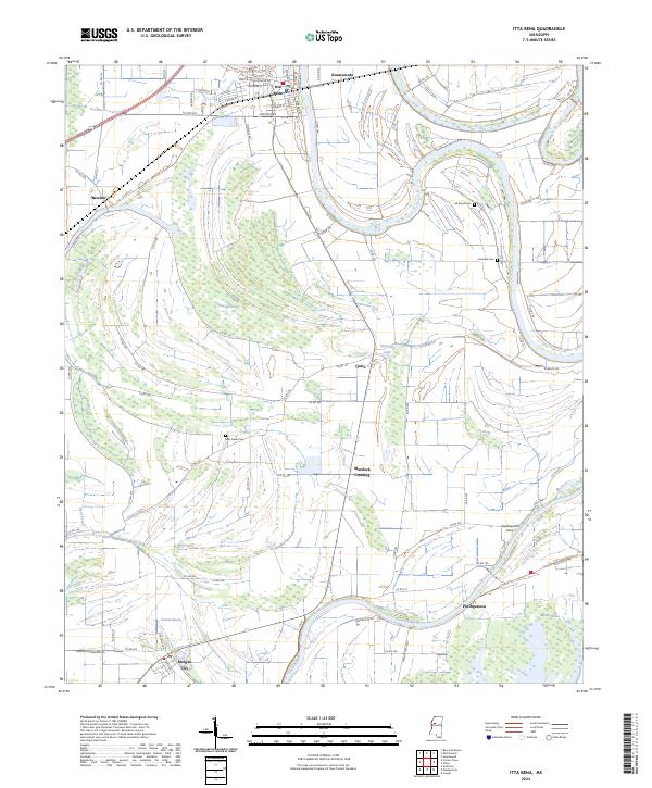 2024 Itta Bena2024 Print · USGSThe Mississippi Delta's intricate landscape of bayous and brakes comes to life in this recent survey of the Itta Bena area. Researchers can trace rural lineages at McIntyre Cem and Jeremiah Cem, or locate the historic site of Southworths Ferry along the Yazoo River.
End of results
Showing maps 1-11 of 11
Top cities near Fort Loring Landing
- Greenwood historical maps
- Itta Bena historical maps
- Sidon historical maps
- Cruger historical maps
- Schlater historical maps
- Morgan City historical maps
Frequently asked questions
- What are the different types of historical maps available for Fort Loring Landing?
- What is the oldest map of Fort Loring Landing?
- Where can I purchase historical maps of Fort Loring Landing for my home or office?
- Where can I download high-res historical maps of Fort Loring Landing?
- Are there historical topographic maps available for Fort Loring Landing?
- Is there historical aerial imagery available for Fort Loring Landing?
- Where are historical maps of Fort Loring Landing sourced from?