Old Maps of Lovelace, Mississippi for Hiking & Exploration
Hike through history with 11 historic maps of Lovelace. Explore old trails, ghost towns, and forgotten backroads — perfect for outdoor adventurers and local explorers.
- Rediscover forgotten places: Map out old mining camps, roads, and footpaths that no longer exist on modern maps.
- Layer with modern tools: Combine with LiDAR or satellite views to plan hikes through historical terrain.
- Made for exploration: Popular among hikers, overlanders, and local history lovers.
Use these maps to find adventure and explore the hidden past of Lovelace.
Lovelace, MS maps
(11)- 1953 Map of Hattiesburg, 1965 Print
 1953 Hattiesburg1965 Print · USGSSouth Mississippi and western Alabama are shown here during the mid-twentieth century as the timber and rail industries shaped the region. Genealogists and historians can trace rail lines like the Mississippi Central and locate rural centers such as Magee, Richton, and Mount Vernon.4 unique versions available
 - 1958 Map of Hattiesburg
 1958 Hattiesburg1958 Print · USGSSoutheastern Mississippi's timber and rail networks are at their peak during the late fifties, centered on the growing hubs of Hattiesburg and Laurel. Researchers can trace old family landmarks like Sims Chapel, the Busbey Game Refuge, and the vanished stops along the Mississippi Central railroad.2 unique versions available
 - 1970 Map of Columbia South, 1972 Print
 1970 Columbia South1972 Print · USGSMarion County's river-bottom landscape comes alive in the early seventies, centered on the winding Pearl River south of Columbia. Genealogists and local historians can locate early settlements like Foxworth and Pickwick, or trace the grounds of St Paul Ch and Sunflower Ch Cem.2 unique versions available
 - 1984 Map of Hattiesburg
 1984 Hattiesburg1984 Print · USGSSouth Mississippi’s Pine Belt is seen here in the mid-eighties, showing the region as a hub of timber production and petroleum extraction. Trace the rail lines of the Illinois Central Gulf RR through old settlements like Richton or the energy developments at the Heidelberg Oil Field.2 unique versions available
 - 1984 Map of Hattiesburg
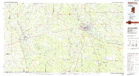 1984 Hattiesburg1984 Print · USGSSouth Mississippi’s timber and military heartland comes into focus during the mid-eighties, centering on the hub of Hattiesburg and the winding Pearl River. Researchers can trace the rail lines of the Illinois Central Gulf through old towns like Bassfield and Sumrall, or locate rural landmarks like Society Hill Ch.
 - 1994 Map of Hattiesburg, 1995 Print
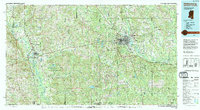 1994 Hattiesburg1995 Print · USGSSouth-central Mississippi's river valleys and timberlands are seen here in the mid-1990s as the region's transport network matured. Researchers can trace rural lineages through sites like Old Pioneer Cem and Spring Cottage or explore the vast Camp Shelby Military Reservation.
 - 2012 Map of Columbia South, 2012 Print
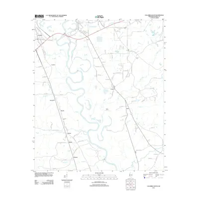 2012 Columbia South2012 Print · USGSSouthern Mississippi's riverine landscape is captured here in the early twenty-first century as it follows the winding Pearl River. Genealogists and historians can trace local family lineages through sites like Sunflower Cem and the communities of Jamestown and Foxworth.
 - 2015 Map of Columbia South, 2015 Print
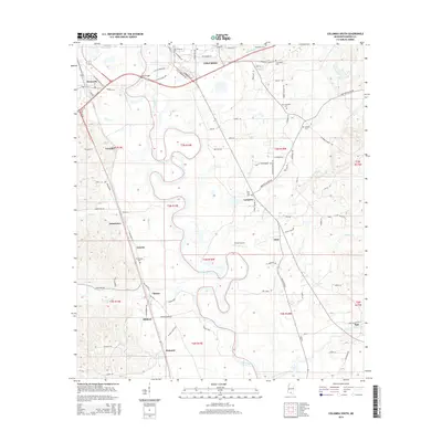 2015 Columbia South2015 Print · USGSMarion County's riverfront comes alive in this 2015 study, showing the oxbows of the Pearl River at Columbia. Genealogists can trace local roots through numerous landmarks like New Zion Cem, Antioch Cem, and the settlement of Pickwick.
 - 2018 Map of Columbia South, 2018 Print
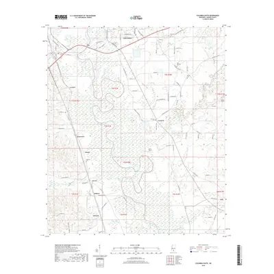 2018 Columbia South2018 Print · USGSMarion County's river-bottom land and rural communities come into focus in this late-decade survey of the area south of Columbia. Genealogists can trace family landmarks like Sunflower Cem, Antioch Cem, and the small crossroads of Pickwick and Lovelace.
 - 2020 Map of Columbia South, 2020 Print
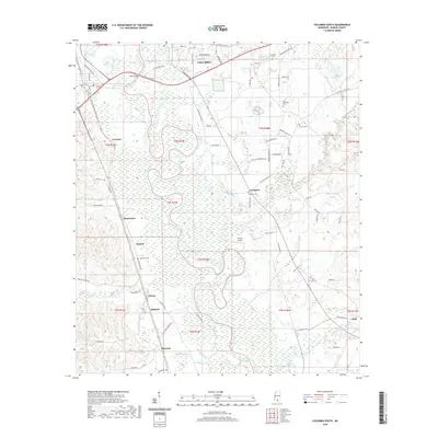 2020 Columbia South2020 Print · USGSThe Pearl River bottomlands south of Columbia are captured here in the early twenty-first century, showing a landscape defined by small rural settlements and waterway crossings. Researchers can locate family sites and landmarks near Jamestown, Cheraw, and Sunflower Cemetery.
 - 2024 Map of Columbia South, 2024 Print
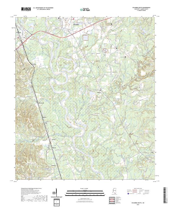 2024 Columbia South2024 Print · USGSMarion County south of Columbia is defined by the winding Pearl River valley in the early 2020s. Genealogists and local historians can trace family locations near New Zion Cem, Antioch Church, and the settlement of Jamestown.
End of results
Showing maps 1-11 of 11
Top cities near Lovelace
Frequently asked questions
- What are the different types of historical maps available for Lovelace?
- What is the oldest map of Lovelace?
- Where can I purchase historical maps of Lovelace for my home or office?
- Where can I download high-res historical maps of Lovelace?
- Are there historical topographic maps available for Lovelace?
- Is there historical aerial imagery available for Lovelace?
- Where are historical maps of Lovelace sourced from?