Old Maps of Wren, Mississippi for Academic Research
Study the evolution of Wren with 12 high-resolution historic maps. Whether you're teaching, researching, or modeling changes in land use, these maps provide essential visual documentation of urban, environmental, and geographic change.
- Analyze long-term change: Track patterns in development, transportation, and natural features.
- Ideal for environmental or urban studies: Support academic projects with primary historical map data.
- Use in the classroom or lab: Educators and researchers rely on these maps to bring historical context to life.
These maps are a powerful tool for teaching, research, and visualizing how Wren has changed over the decades.
Wren, MS maps
(12)- 1953 Map of West Point, 1973 Print
 1953 West Point1973 Print · USGSNorth-Central Mississippi and the Alabama borderlands are captured here during the mid-twentieth century as new reservoirs and national forests transformed the landscape. Researchers can trace the path of the Mississippi & Skuna Valley railroad or locate old landings along the Tombigbee River and Schooner Creek.3 unique versions available
 - 1958 Map of West Point
 1958 West Point1958 Print · USGSNortheastern Mississippi and western Alabama are shown in the late 1950s, highlighting a region defined by its river-and-rail economy. Researchers can trace family roots through numerous settlements like Artesia and Vardaman or explore the corridor of the Tombigbee River.
 - 1963 Map of West Point
 1963 West Point1963 Print · USGSEastern Mississippi and western Alabama are captured in the early sixties as industrial centers and rail lines connected the Black Prairie to the hills. Genealogists and historians can trace family-named watercourses and the early footprints of Starkville, Columbus, and the Noxubee National Wildlife Refuge.2 unique versions available
 - 1966 Map of Wren, 1967 Print
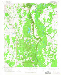 1966 Wren1967 Print · USGSMonroe County was defined by its river-bottom industry and quiet rural settlements during the mid-1960s. Genealogists and historians can trace family roots through numerous sites like Grady's Chapel, Mound Cem, and the historic Indian Treaty Boundary.2 unique versions available
 - 1982 Map of West Point, 1983 Print
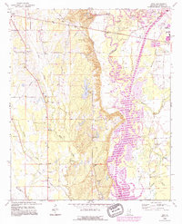
 1982 West Point1983 Print · USGSEastern Mississippi and western Alabama are captured in the early eighties as the river-and-rail economy evolved. Trace family roots and old township lines near West Point, Columbus Air Force Base, and the historic Natchez Trace Parkway.
 - 1984 Map of West Point
 1984 West Point1984 Print · USGSNorth-Central Mississippi in the mid-eighties shows a landscape defined by massive water management projects and dense timberlands. Researchers can trace the legacy of rural settlements like Geeslin Corner or the rail corridors of the Illinois Central Gulf RR near Grenada Lake.3 unique versions available
 - 1992 Map of Wren, 1995 Print
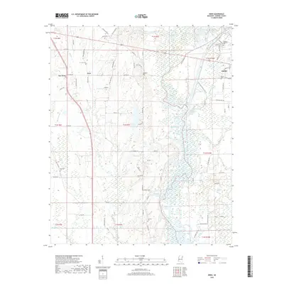
 1992 Wren1995 Print · USGSMonroe County life in the early nineties centers on the engineering of the Tennessee Tombigbee Waterway and the rural communities of Wren and New Wren. Trace family history through sites like Mound Cem, Mt Moriah Ch, and the Old Indian Treaty Boundary.
 - 2012 Map of Wren, 2012 Print
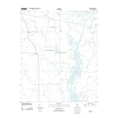 2012 Wren2012 Print · USGSCovers Wren, including Amory, Lake Monroe West Subdivision, and other nearby areas
 - 2015 Map of Wren, 2015 Print
 2015 Wren2015 Print · USGSCovers Wren, including Amory, Lake Monroe West Subdivision, and other nearby areas
 - 2018 Map of Wren, 2018 Print
 2018 Wren2018 Print · USGSCovers Wren, including Amory, Lake Monroe West Subdivision, and other nearby areas
 - 2020 Map of Wren, 2020 Print
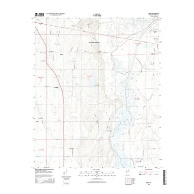
 2020 Wren2020 Print · USGSCovers Wren, including Amory, Lake Monroe West Subdivision, and other nearby areas
 - 2024 Map of Wren, 2024 Print
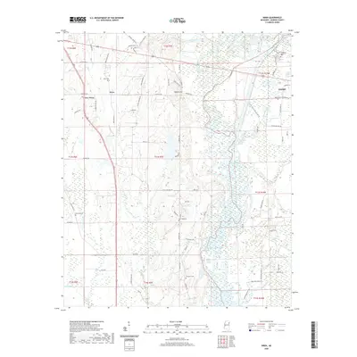
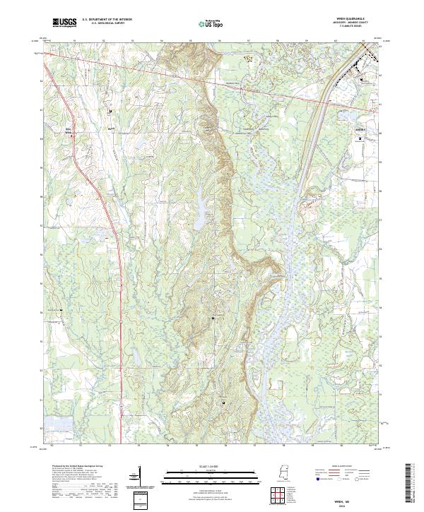 2024 Wren2024 Print · USGSMonroe County at the modern height of the Tennessee-Tombigbee era shows a landscape shaped by river commerce and deep-rooted local settlements. Genealogists can trace family landmarks like Wren Cem, New Hope Cem, and the historic crossing at Waltons Ferry.
End of results
Showing maps 1-12 of 12
Top cities near Wren
- Amory historical maps
- Aberdeen historical maps
- Verona historical maps
- Okolona historical maps
- Nettleton historical maps
- Shannon historical maps
See more
Frequently asked questions
- What are the different types of historical maps available for Wren?
- What is the oldest map of Wren?
- Where can I purchase historical maps of Wren for my home or office?
- Where can I download high-res historical maps of Wren?
- Are there historical topographic maps available for Wren?
- Is there historical aerial imagery available for Wren?
- Where are historical maps of Wren sourced from?