Old Maps of Aberdeen, Mississippi
Explore 19 old maps of Aberdeen, spanning from 1953 to today. These high-resolution historic maps reveal how streets, neighborhoods, landmarks, and natural features evolved over time — perfect for genealogy, metal detecting, research, and local history exploration.
What you can do with these maps:
- See how Aberdeen changed over time: Compare historical maps to modern-day views to trace roads, homesites, rail lines & more.
- View detailed metadata: Each map includes creators, publishers, year, scale, and archive source.
- Overlay maps with satellite & LiDAR: Visualize the past alongside modern tools to explore terrain & human change.
- Trusted historical sources: Maps sourced from the USGS, Library of Congress, and other archives.
- Access maps your way: View online, download high-res files, or order prints for personal or research use.
Start exploring old maps of Aberdeen to uncover forgotten places, hidden landmarks, and the deep history beneath your feet.
Aberdeen, MS maps
(19)- 1953 Map of West Point, 1973 Print
 1953 West Point1973 Print · USGSNorth-Central Mississippi and the Alabama borderlands are captured here during the mid-twentieth century as new reservoirs and national forests transformed the landscape. Researchers can trace the path of the Mississippi & Skuna Valley railroad or locate old landings along the Tombigbee River and Schooner Creek.3 unique versions available
 - 1958 Map of West Point
 1958 West Point1958 Print · USGSNortheastern Mississippi and western Alabama are shown in the late 1950s, highlighting a region defined by its river-and-rail economy. Researchers can trace family roots through numerous settlements like Artesia and Vardaman or explore the corridor of the Tombigbee River.
 - 1963 Map of West Point
 1963 West Point1963 Print · USGSEastern Mississippi and western Alabama are captured in the early sixties as industrial centers and rail lines connected the Black Prairie to the hills. Genealogists and historians can trace family-named watercourses and the early footprints of Starkville, Columbus, and the Noxubee National Wildlife Refuge.2 unique versions available
 - 1966 Map of Aberdeen, 1967 Print
 1966 Aberdeen1967 Print · USGSAberdeen was a bustling rail and river hub in the mid-1960s, where the Tombigbee River met two major rail lines. Researchers can trace family history through the Odd Fellows Cemetery, Shivers High Sch, and rural landmarks like Binford.2 unique versions available
 - 1966 Map of Amory SW, 1967 Print
 1966 Amory SW1967 Print · USGSMonroe County's rural landscape is captured here in the mid-1960s as the St Louis-San Francisco rail line serves the small settlement of Lackey. Genealogists can trace family names through landmarks like Beeks Cem, Burns Cem, and the Pleasant Hill Cem.2 unique versions available
 - 1982 Map of West Point, 1983 Print
 1982 West Point1983 Print · USGSEastern Mississippi and western Alabama are captured in the early eighties as the river-and-rail economy evolved. Trace family roots and old township lines near West Point, Columbus Air Force Base, and the historic Natchez Trace Parkway.
 - 1984 Map of West Point
 1984 West Point1984 Print · USGSNorth-Central Mississippi in the mid-eighties shows a landscape defined by massive water management projects and dense timberlands. Researchers can trace the legacy of rural settlements like Geeslin Corner or the rail corridors of the Illinois Central Gulf RR near Grenada Lake.3 unique versions available
 - 1992 Map of Amory SW, 1995 Print
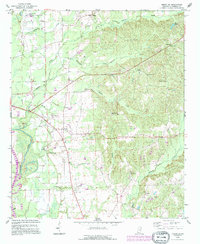 1992 Amory SW1995 Print · USGSMonroe County during the early nineties showcases a landscape defined by the Tennessee-Tombigbee Waterway and the local energy economy. Genealogists can trace deep local roots at Nashville Cem and Pleasant Hill Cem, or explore the small communities of Athens and Lackey.
 - 1992 Map of Aberdeen, 1995 Print
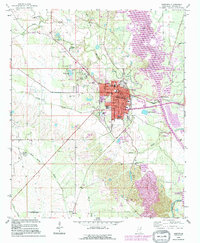 1992 Aberdeen1995 Print · USGSAberdeen sits at the intersection of river commerce and energy production in the early nineties. Genealogists and researchers can trace local landmarks like Odd Fellows Cemetery, Stinson Field, and the Old RR Grade north of town.
 - 2012 Map of Amory SW, 2012 Print
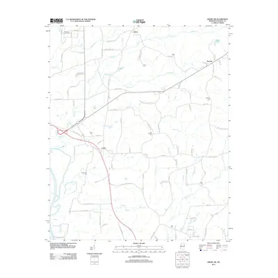 2012 Amory SW2012 Print · USGSMonroe County, Mississippi, retains its quiet rural character in the early twenty-first century, even as modern infrastructure like the Monroe County Airport expands. Genealogists can trace legacy family burial sites such as Paul Pounders Cem, Berry Cem, and Lackey Cem.
 - 2012 Map of Aberdeen, 2012 Print
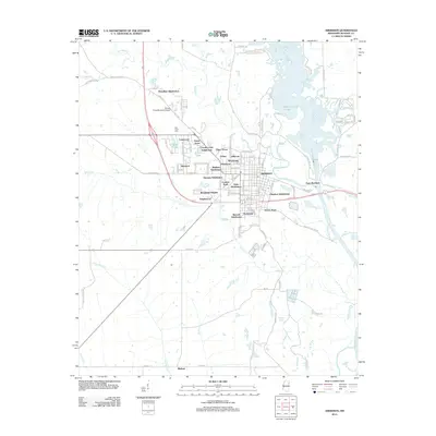 2012 Aberdeen2012 Print · USGSAberdeen and the Tombigbee River are captured here in the early twenty-first century, showing a town defined by its water and rail-era heritage. Researchers can trace the layout of local neighborhoods like Tolar Subdivision or find family-linked areas like Tucker Place and Binford.
 - 2015 Map of Amory SW, 2015 Print
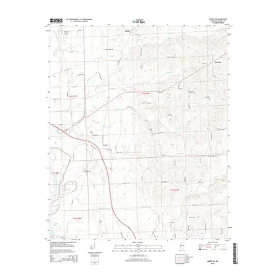 2015 Amory SW2015 Print · USGSMonroe County, Mississippi, is shown here as it appeared in the mid-2010s, capturing a landscape of rural settlements and family cemeteries near the Tombigbee River. Researchers can trace old road alignments like Old Highway 25 and locate local landmarks such as Lackey Cem and the Monroe County Airport.
 - 2015 Map of Aberdeen, 2015 Print
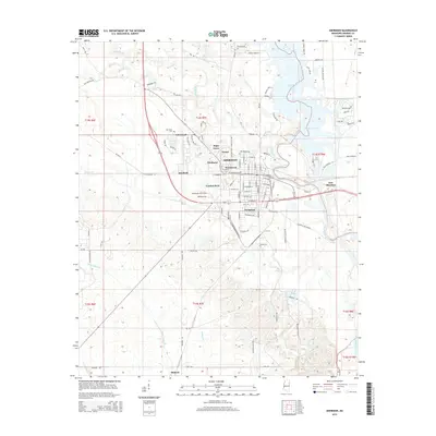 2015 Aberdeen2015 Print · USGSMonroe County centers on the riverfront town of Aberdeen in the mid-2010s, where the Tombigbee River meets local industry. Researchers can trace neighborhood growth in Evergreen or locate rural landmarks like Binford and Hang Kettle Cr.
 - 2018 Map of Amory SW, 2018 Print
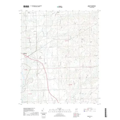 2018 Amory SW2018 Print · USGSMonroe County, Mississippi, is shown here in the late twenty-teens, centering on the rural areas between Aberdeen and Athens. Researchers can trace old family landholdings and community focal points at Lackey Cem, Ross Cem, and New Prospect Cem.
 - 2018 Map of Aberdeen, 2018 Print
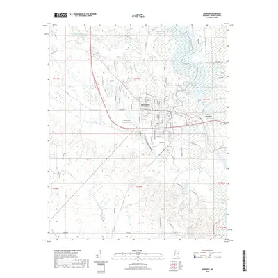 2018 Aberdeen2018 Print · USGSThe riverfront city of Aberdeen and the surrounding Monroe County bottomlands are captured here in the late twenty-teens. Researchers can trace the layout of the city grid and locate landmarks from Aberdeen to the outlying settlement of Binford and the Tombigbee River.
 - 2020 Map of Aberdeen, 2020 Print
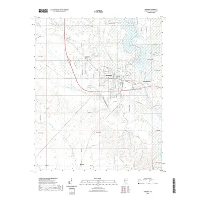 2020 Aberdeen2020 Print · USGSAberdeen and its riverfront surroundings are shown here during the early twenty-first century as the county seat continues its long-standing role. Researchers can trace local landmarks like the Monroe County Courthouse or explore the rural outskirts near Binford and the Tombigbee River.
 - 2020 Map of Amory SW, 2020 Print
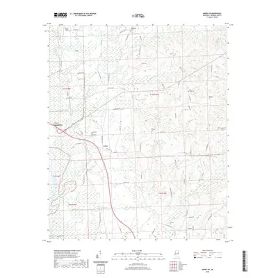 2020 Amory SW2020 Print · USGSMonroe County's rural heartland is documented here in the early twenty-first century, showing the small communities and river-bottom lands near the Tombigbee. Researchers can locate numerous family burial sites such as Lackey Cem and Buckingham Cem, or trace old routes like Old Hwy 25.
 - 2024 Map of Aberdeen, 2024 Print
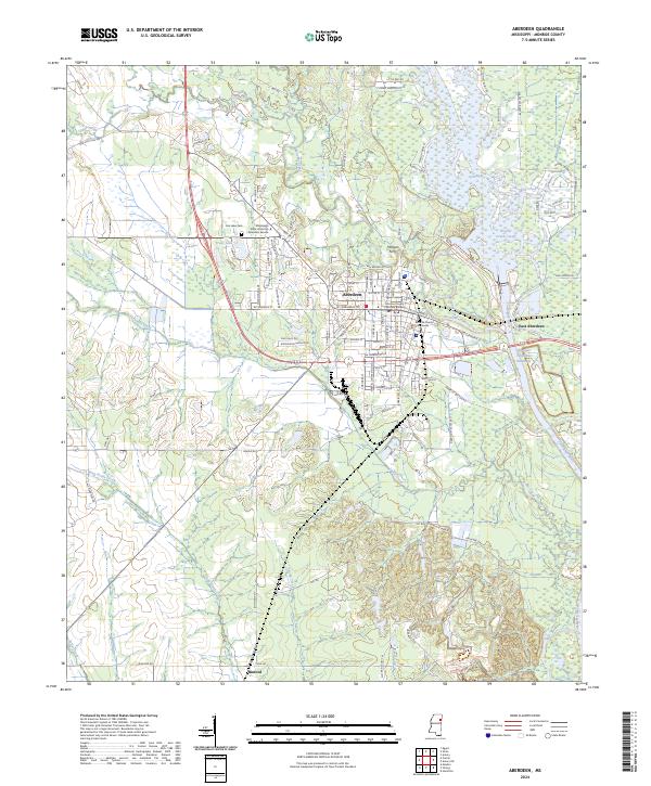 2024 Aberdeen2024 Print · USGSMonroe County serves as a vital river hub in the 2020s, centered on the historic city of Aberdeen and the engineered Tennessee-Tombigbee Waterway. Researchers can trace the civic core at the Monroe County Courthouse, locate the site of Morgan Ferry, and explore the rural settlement of Binford.
 - 2024 Map of Amory SW, 2024 Print
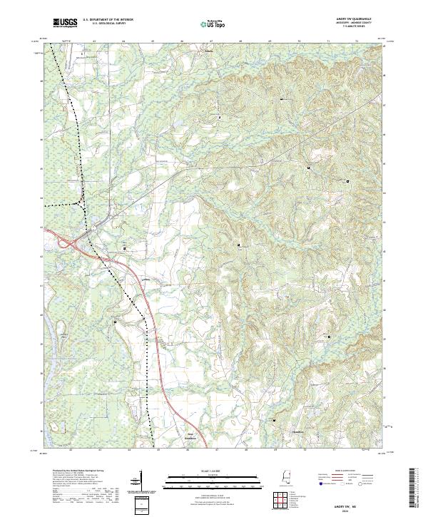 2024 Amory SW2024 Print · USGSMonroe County, Mississippi, is shown here in the 2020s, highlighting the balance between its agrarian roots and the modern Tennessee-Tombigbee Waterway. Trace local genealogy through Lackey Cem and Pleasant Hill Cem, or locate the historic site of Lackeys Ferry.
End of results
Showing maps 1-19 of 19
Top cities near Aberdeen
- West Point historical maps
- Amory historical maps
- Okolona historical maps
- Caledonia historical maps
- New Hamilton historical maps
- Hatley historical maps
Top neighborhoods of Aberdeen
- Tucker Place historical maps
- Vasser historical maps
- Watkins Subdivision historical maps
- Woodcrest historical maps
- Bennett Subdivision historical maps
- Woodland Heights historical maps
See more
Frequently asked questions
- What are the different types of historical maps available for Aberdeen?
- What is the oldest map of Aberdeen?
- Where can I purchase historical maps of Aberdeen for my home or office?
- Where can I download high-res historical maps of Aberdeen?
- Are there historical topographic maps available for Aberdeen?
- Is there historical aerial imagery available for Aberdeen?
- Where are historical maps of Aberdeen sourced from?