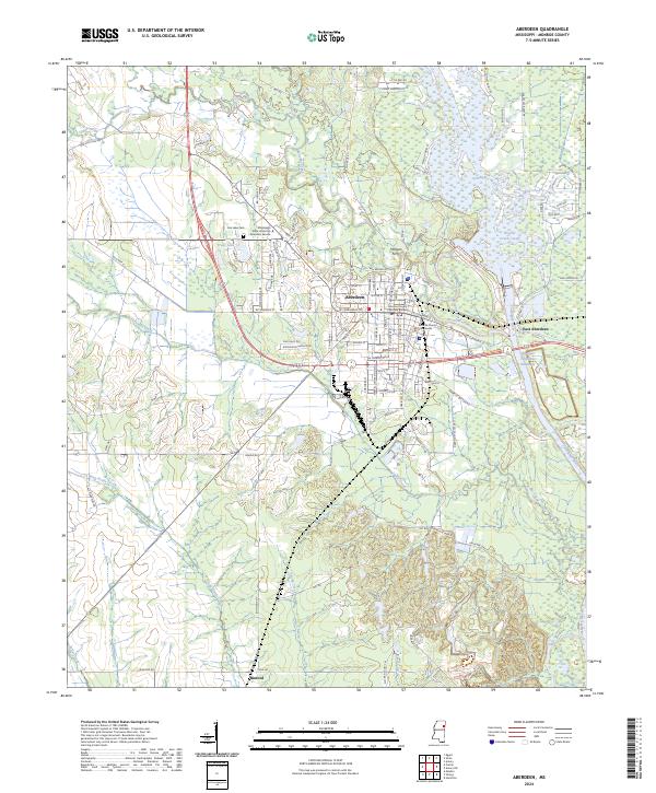
2024 Map of Aberdeen
USGS Topo · Published 2024About this map
The Tombigbee River and the engineered path of the Tennessee-Tombigbee Waterway dominate this portion of Monroe County, shaping the character of Aberdeen and East Aberdeen. As the county seat, Aberdeen is a civic anchor, home to the Monroe County Courthouse and the Monroe County Chancery Building. The grid of the city gives way to the complex hydrology of the river bottom, where features like Cypress Gardens Cove and the Weaver Creek Cutoff illustrate the winding nature of the local drainage systems.
Find a feature on this map
108 named features on this map. Tap any name to fly to it.
Don’t see what you’re looking for? This feature index may not catch every label — zoom into the map to look around manually.
Map Details
Editions of this 2024 Aberdeen Map
This is the sole edition of this map. No revisions or reprints were ever made.
Other maps of this area

1953 · West Point
USGS Topo · 1:250,000

1958 · West Point
USGS Topo · 1:250,000

1959 · West Point
USGS Topo · 1:62,500

1960 · Caledonia
USGS Topo · 1:62,500

1963 · West Point
USGS Topo · 1:250,000

1965 · Egypt
USGS Topo · 1:24,000

1966 · Aberdeen
USGS Topo · 1:24,000

1966 · Amory
USGS Topo · 1:24,000

1966 · Amory SW
USGS Topo · 1:24,000

1966 · Wren
USGS Topo · 1:24,000
Featured Places
- Aberdeen, MS
- Tolar Subdivision, Aberdeen
- Woodcrest, Aberdeen
- Murphree Subdivision, Aberdeen
- Tanglewood, Aberdeen