
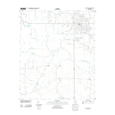
1958 Map of West Point
USGS Topo · Published 1958About this map
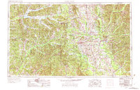
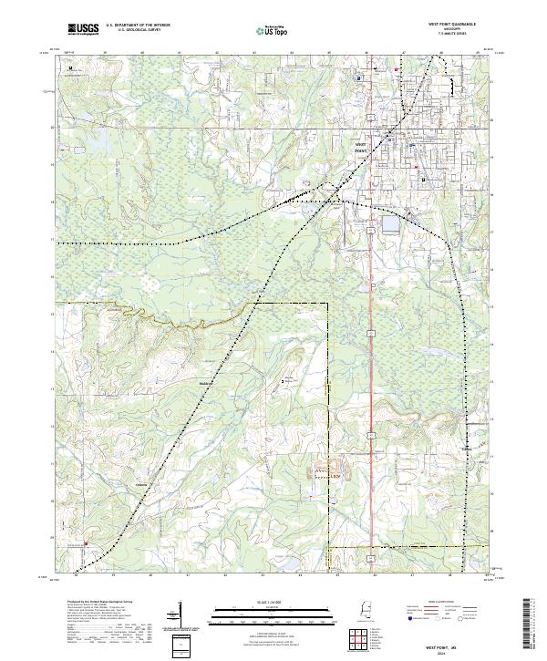
Starkville and Columbus serve as major hubs in this mid-century survey of northeastern Mississippi and western Alabama. The landscape is defined by the winding paths of the Tombigbee River and the Noxubee River, which historically dictated the growth of river towns like Aberdeen. A dense network of rail lines, including the Gulf Mobile & Ohio and the ST Louis-San Francisco, illustrates the region's transport-based economy before the full expansion of the modern highway system. Conservation efforts are prominently marked at the Noxubee National Wildlife Refuge and the Montgomery County Refuge (State), while the Cold War era's footprint appears at the USAF Storage Unit (Vehicle) near Aberdeen. Smaller communities such as Artesia, Crawford, and Macon are shown along these rail corridors, offering a detailed look at the rural settlement patterns that characterize the Black Prairie and surrounding timberlands.
Find a feature on this map
71 named features on this map. Tap any name to fly to it.
Don’t see what you’re looking for? This feature index may not catch every label — zoom into the map to look around manually.
Map Details
Editions of this 1958 West Point Map
This is the sole edition of this map. No revisions or reprints were ever made.
Historical Maps of Columbus Through Time
12 maps found
1953 West Point
Clay County, MS
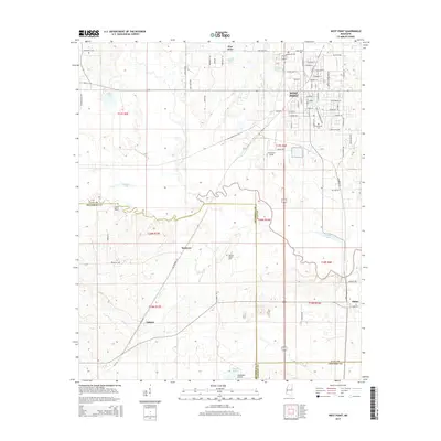
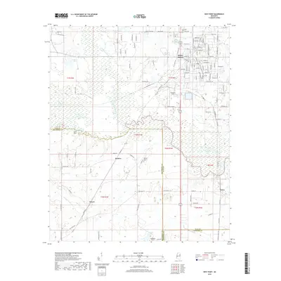
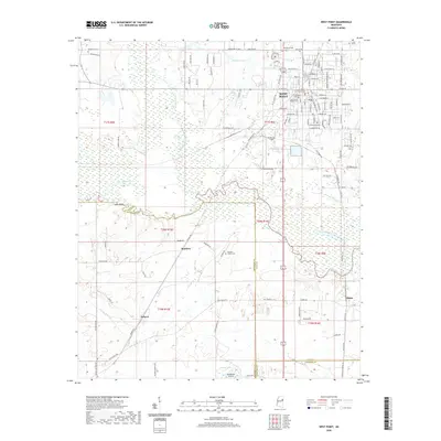
1958 West Point
Clay County, MS
1959 West Point
Clay County, MS
1963 West Point
Clay County, MS

1982 West Point
Clay County, MS

1984 West Point
Clay County, MS
1987 West Point
Clay County, MS
2012 West Point
Clay County, MS
2015 West Point
Clay County, MS
2018 West Point
Clay County, MS
2020 West Point
Clay County, MS
2024 West Point
Clay County, MS