Old Maps of Lowndes County, Mississippi
Explore 105 old maps of Lowndes County, spanning from 1953 to today. These high-resolution historic maps reveal how streets, neighborhoods, landmarks, and natural features evolved over time — perfect for genealogy, metal detecting, research, and local history exploration.
What you can do with these maps:
- See how Lowndes County changed over time: Compare historical maps to modern-day views to trace roads, homesites, rail lines & more.
- View detailed metadata: Each map includes creators, publishers, year, scale, and archive source.
- Overlay maps with satellite & LiDAR: Visualize the past alongside modern tools to explore terrain & human change.
- Trusted historical sources: Maps sourced from the USGS, Library of Congress, and other archives.
- Access maps your way: View online, download high-res files, or order prints for personal or research use.
Start exploring old maps of Lowndes County to uncover forgotten places, hidden landmarks, and the deep history beneath your feet.
Lowndes County, MS maps
(105)- 1953 Map of West Point, 1973 Print
 1953 West Point1973 Print · USGSNorth-Central Mississippi and the Alabama borderlands are captured here during the mid-twentieth century as new reservoirs and national forests transformed the landscape. Researchers can trace the path of the Mississippi & Skuna Valley railroad or locate old landings along the Tombigbee River and Schooner Creek.3 unique versions available
 - 1958 Map of West Point
 1958 West Point1958 Print · USGSNortheastern Mississippi and western Alabama are shown in the late 1950s, highlighting a region defined by its river-and-rail economy. Researchers can trace family roots through numerous settlements like Artesia and Vardaman or explore the corridor of the Tombigbee River.
 - 1959 Map of Artesia, 1960 Print
 1959 Artesia1960 Print · USGSThe Gulf Mobile and Ohio railroad corridor anchors this mid-century look at the prairie country of eastern Mississippi. Genealogists can trace family names at Ledbetter Cem or locate rural centers like Truevine Sch and the community of Artesia.3 unique versions available
 - 1959 Map of West Point, 1960 Print
 1959 West Point1960 Print · USGSClay County and the surrounding Black Prairie region appear here in the late fifties, centered on the rail junction at West Point. Researchers can trace rural lineages through numerous family-named landmarks and local sites like Holmes Jr College, Sandy Clay Sch, and the Town Creek Ch Cem.3 unique versions available
 - 1960 Map of Caledonia, 1961 Print
 1960 Caledonia1961 Print · USGSThe Mississippi-Alabama borderlands in the early sixties reveal a landscape of growing military bases and traditional river commerce. Trace family roots through rural landmarks like Anderson Grove Sch, Waverly Ferry, and the rail lines serving Steens.2 unique versions available
 - 1960 Map of Columbus, 1961 Print
 1960 Columbus1961 Print · USGSThe Tombigbee River valley at the start of the 1960s shows a landscape of river-bend farms and rural communities centered around family churches and schools. Researchers can trace historic river crossings like the Nashville Ferry or locate ancestral sites at St Mathis Cem and Plum Grove Sch.2 unique versions available
 - 1963 Map of West Point
 1963 West Point1963 Print · USGSEastern Mississippi and western Alabama are captured in the early sixties as industrial centers and rail lines connected the Black Prairie to the hills. Genealogists and historians can trace family-named watercourses and the early footprints of Starkville, Columbus, and the Noxubee National Wildlife Refuge.2 unique versions available
 - 1967 Map of Millport NW, 1968 Print
 1967 Millport NW1968 Print · USGSLamar County in the late 1960s was a rural landscape defined by tight-knit communities and winding creek valleys. Researchers can locate family landmarks like Lampkin Cem and Sailor Cem, or trace local history at the Lamar County Training Sch.3 unique versions available
 - 1982 Map of West Point, 1983 Print
 1982 West Point1983 Print · USGSEastern Mississippi and western Alabama are captured in the early eighties as the river-and-rail economy evolved. Trace family roots and old township lines near West Point, Columbus Air Force Base, and the historic Natchez Trace Parkway.
 - 1984 Map of West Point
 1984 West Point1984 Print · USGSNorth-Central Mississippi in the mid-eighties shows a landscape defined by massive water management projects and dense timberlands. Researchers can trace the legacy of rural settlements like Geeslin Corner or the rail corridors of the Illinois Central Gulf RR near Grenada Lake.3 unique versions available
 - 1987 Map of Hamilton
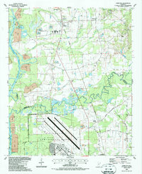 1987 Hamilton1987 Print · USGSThe Monroe and Lowndes County line in the late eighties shows a landscape of military aviation and river engineering. Trace the boundaries of Columbus Air Force Base or locate rural landmarks like Sardis Cem and Sulphur Springs Sch.
 - 1987 Map of Columbus North
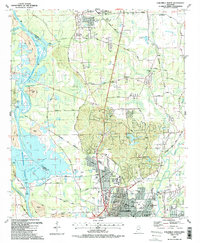 1987 Columbus North1987 Print · USGSNorthern Mississippi in the late eighties shows the rise of major water projects and military infrastructure. Trace the early layout of Columbus near the Columbus Air Force Base and historic churches like Antioch Ch.2 unique versions available
 - 1987 Map of Columbus South
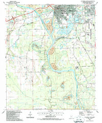 1987 Columbus South1987 Print · USGSColumbus and its southern reaches in the mid-1980s show a landscape shaped by the Tennessee Tombigbee Waterway and expanding industry. Genealogists and local historians can trace rural schools and landmarks like St Paul Ch, Yorkville, and Friendship Cem.2 unique versions available
 - 1987 Map of Bent Oak
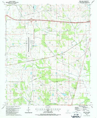 1987 Bent Oak1987 Print · USGSLowndes County in the late eighties shows a rural landscape adapting to aviation and industrial growth. Genealogists can trace family landmarks and community centers like Bent Oak, St Johns Ch, and the Mississippi Sheriffs Boys Ranch.
 - 1987 Map of New Hope
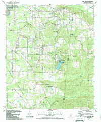 1987 New Hope1987 Print · USGSThe Mississippi-Alabama borderlands in the late eighties show a landscape of rural communities and industrial pockets. Trace local family roots through numerous landmarks like Beersheba Cumberland Ch, Marrshs Chapel, and the Abandoned Landing Field.
 - 1987 Map of Trinity
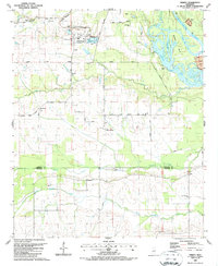 1987 Trinity1987 Print · USGSLowndes and Noxubee Counties appear in the late 1980s as the river landscape transitions to a modern waterway. Genealogists and local historians can locate many rural landmarks, from the St John Ch and Plum Grove settlement to the docks at Camp Pratt.
 - 1987 Map of West Point
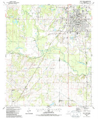 1987 West Point1987 Print · USGSWest Point and the surrounding river bottoms of Clay County appear here in the late eighties during a period of steady growth. Genealogists can trace family landmarks and local institutions from Lindsey Chapel and Muldrow to the sprawling grounds of Greenwood Cem.
 - 1987 Map of Caledonia
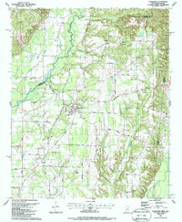 1987 Caledonia1987 Print · USGSCaledonia sits at the heart of this border region in the 1980s, where the Mississippi and Alabama lines meet. Researchers can trace rural life and ancestry through landmarks like Bethlehem Ch, Unity Cem, and the historic Wolf Road.
 - 1987 Map of Waverly
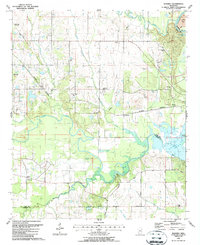 1987 Waverly1987 Print · USGSThe rural borderlands of Clay and Lowndes counties are captured here in the late eighties, just north of the recently formed Columbus Lake. Genealogists and local historians can trace family ties through Tibbee Cem, Lee Cem, and several country churches like Shady Grove Ch.
 - 1987 Map of Forreston
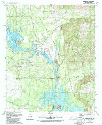 1987 Forreston1987 Print · USGSThe Mississippi and Alabama borderlands appear here in the late 1980s, just as the river system was being reshaped by the Tennessee-Tombigbee project. Local researchers can trace family roots through Mt Avery Ch, Toliver Cem, and the rural settlement of Forreston.
 - 1987 Map of Strong
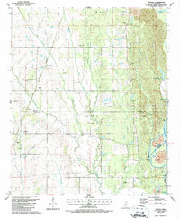 1987 Strong1987 Print · USGSThe Tombigbee River valley in the late eighties shows a landscape of traditional settlements and modern engineering projects. Genealogists can trace family sites like Strong Cem and Mt Zion Ch alongside the newly formed Columbus Lake.
 - 1987 Map of Artesia
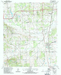 1987 Artesia1987 Print · USGSArtesia and the surrounding prairie lands of Lowndes and Oktibbeha counties are shown here in the mid-eighties as a busy rail and agricultural corridor. Researchers can map out local genealogy at Peters Cem, Rice Cem, or Blackjack Ch, and trace the path of the OLD RAILROAD GRADE through Sessums.
 - 1987 Map of Steens
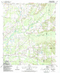 1987 Steens1987 Print · USGSSteens and the surrounding Lowndes County borderlands are shown in the late eighties as a landscape of rural churches and winding creeks. Genealogists can trace family landmarks like Anderson Grove Sch, New Zion Ch, and Piney Grove Cem along the Southern Railway.
 - 1987 Map of Crawford East
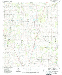 1987 Crawford East1987 Print · USGSThe rural border of Lowndes and Noxubee Counties in the late 1980s reveals a community centered on the town of Crawford and the Gulf Mobile and Mississippi railroad. Genealogists can trace family landmarks and burial grounds like Ledbetter Cem and St James Ch.
 - 1987 Map of Crawford West
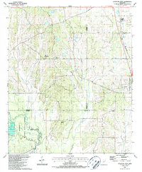 1987 Crawford West1987 Print · USGSOktibbeha County in the late 1980s reveals a landscape defined by the expansive Noxubee National Wildlife Refuge and small rural communities. Trace local family roots and early settlements through landmarks like Crawford, B L Moor High Sch, and Union Chapel.
Showing maps 1-25 of 105
Top cities of Lowndes County
Frequently asked questions
- What are the different types of historical maps available for Lowndes County?
- What is the oldest map of Lowndes County?
- Where can I purchase historical maps of Lowndes County for my home or office?
- Where can I download high-res historical maps of Lowndes County?
- Are there historical topographic maps available for Lowndes County?
- Is there historical aerial imagery available for Lowndes County?
- Where are historical maps of Lowndes County sourced from?