2020s Maps of Lowndes County, Mississippi
Explore 32 historic maps of Lowndes County from the 2020s. These maps offer a rare glimpse into what life looked like during the 2020s — showing old roads, neighborhoods, homes, and landmarks that have changed or disappeared over time.
Whether you're researching your family's past, planning a metal detecting trip, or studying how Lowndes County's landscape evolved across the 2020s, these high-resolution maps are a powerful tool for exploring the history of this region.
- Focus on a specific era: All maps on this page are from the 2020s, giving you a focused view of this time period.
- See what’s changed: Compare century-old streets, trails, and buildings to today's modern landscape using overlays and satellite layers.
- Research with precision: Use these maps for genealogy, historical research, land use analysis, or educational projects.
- View, download, or print: Maps are fully viewable online in high resolution, and can be downloaded or printed for your own records.
Start exploring Lowndes County's history through authentic maps from the 2020s. This is your window into the past.
Lowndes County, MS maps
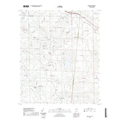
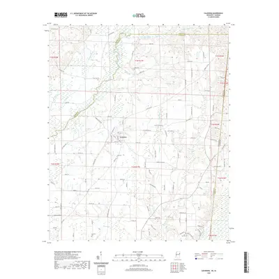
(32)- 2020 Map of Millport NW, 2020 Print
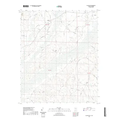 2020 Millport NW2020 Print · USGSCovers Lowndes County, including Vernon, Star, and other nearby areas
 - 2020 Map of Crawford East, 2020 Print
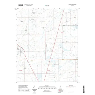 2020 Crawford East2020 Print · USGSCovers Lowndes County, including Crawford, Noxubee County, and other nearby areas
 - 2020 Map of Crawford West, 2020 Print
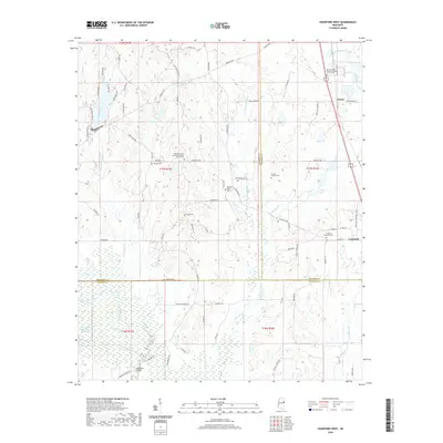 2020 Crawford West2020 Print · USGSCovers Lowndes County, including Crawford, Penns, and other nearby areas
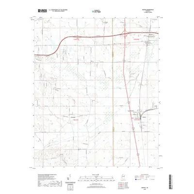
 - 2020 Map of Waverly, 2020 Print
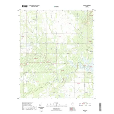 2020 Waverly2020 Print · USGSCovers Lowndes County, including West Point, Waverly, and other nearby areas
 - 2020 Map of Trinity, 2020 Print
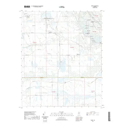 2020 Trinity2020 Print · USGSCovers Lowndes County, including Trinity, Plum Grove, and other nearby areas
 - 2020 Map of Bent Oak, 2020 Print
 2020 Bent Oak2020 Print · USGSCovers Lowndes County, including Billups, Bent Oak, and other nearby areas
 - 2020 Map of Hamilton, 2020 Print
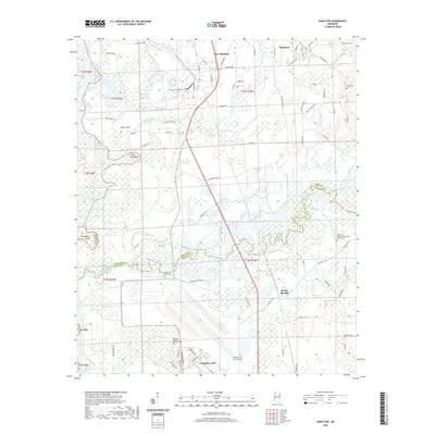 2020 Hamilton2020 Print · USGSCovers Lowndes County, including New Hamilton, Kolola Springs, and other nearby areas
 - 2020 Map of Strong, 2020 Print
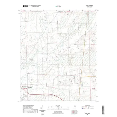
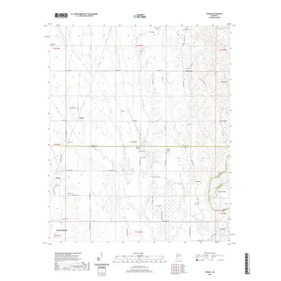 2020 Strong2020 Print · USGSCovers Lowndes County, including West Point, Vinton, and other nearby areas
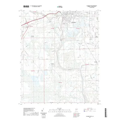
 - 2020 Map of Columbus North, 2020 Print
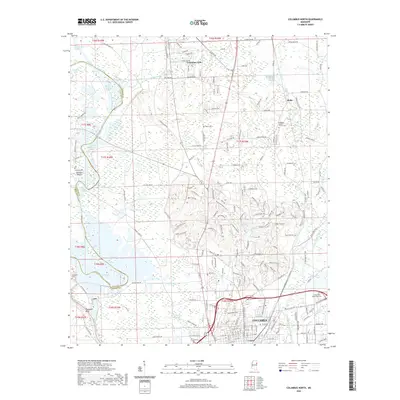 2020 Columbus North2020 Print · USGSCovers Lowndes County, including Columbus, Wells, and other nearby areas
 - 2020 Map of Artesia, 2020 Print
 2020 Artesia2020 Print · USGSCovers Lowndes County, including Artesia, Hickory Grove Estates, and other nearby areas
 - 2020 Map of New Hope, 2020 Print
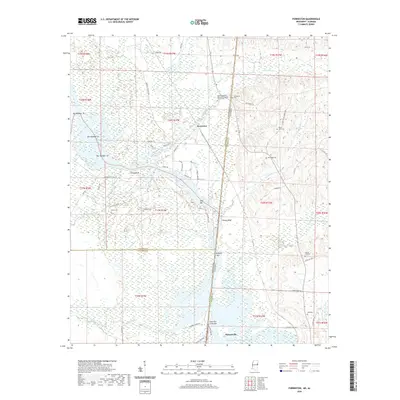
 2020 New Hope2020 Print · USGSCovers Lowndes County, including Columbus, Brookwood Estates, and other nearby areas
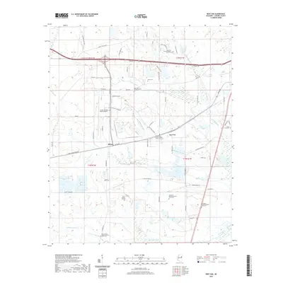
 - 2020 Map of West Point, 2020 Print
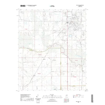 2020 West Point2020 Print · USGSCovers Lowndes County, including West Point, Osborn, and other nearby areas
 - 2020 Map of Caledonia, 2020 Print
 2020 Caledonia2020 Print · USGSCovers Lowndes County, including Caledonia, Flint Hill, and other nearby areas
 - 2020 Map of Columbus South, 2020 Print
 2020 Columbus South2020 Print · USGSCovers Lowndes County, including Columbus, Whitebury, and other nearby areas
 - 2020 Map of Steens, 2020 Print
 2020 Steens2020 Print · USGSCovers Lowndes County, including Columbus, Coles Subdivision, and other nearby areas
 - 2020 Map of Forreston, 2020 Print
 2020 Forreston2020 Print · USGSCovers Lowndes County, including Pickensville, Forreston, and other nearby areas
 - 2024 Map of Columbus North, 2024 Print
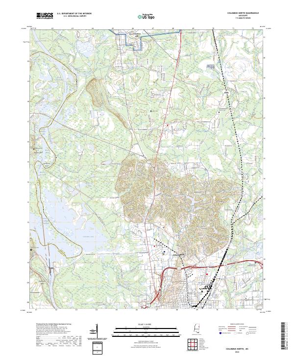 2024 Columbus North2024 Print · USGSLowndes County's river-driven landscape is shown here in the 2020s, defined by the Tombigbee River's complex modern waterway system. Researchers can locate family landmarks like Hopewell Baptist Church Cem, Sykes Cem, and the historic overlook at Plymouth Bluff.
 - 2024 Map of Columbus South, 2024 Print
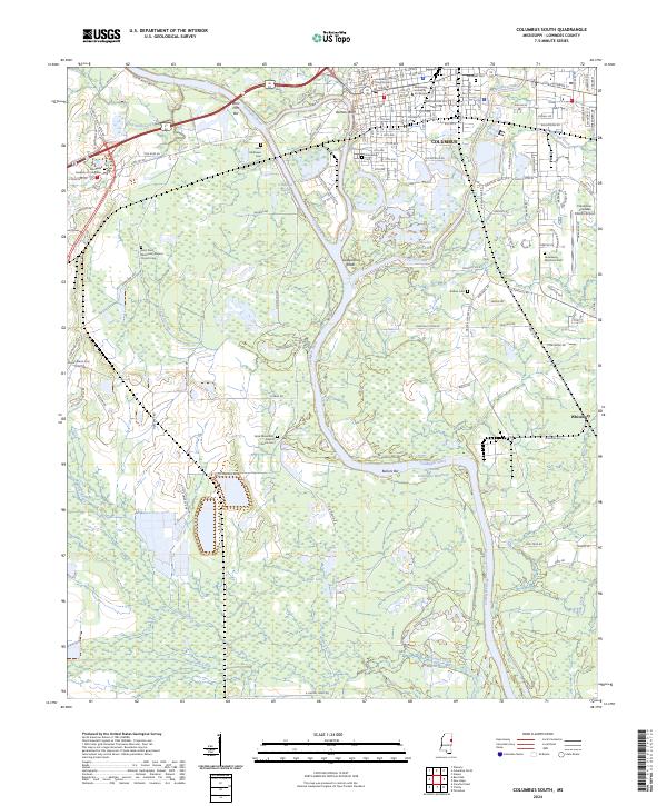 2024 Columbus South2024 Print · USGSThe river town of COLUMBUS and its surrounding Lowndes County bottomlands are captured here in the contemporary era. Genealogists and local historians can locate many family burial sites and landmarks including Friendship Cem, Stallion Cem, and the Lowndes County Courthouse.
 - 2024 Map of New Hope, 2024 Print
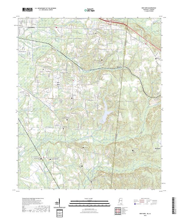 2024 New Hope2024 Print · USGSAcross the state line dividing Mississippi and Alabama, this modern survey reveals a landscape defined by small communities and family legacies. Researchers can trace deep roots through numerous burial sites, including the New Hope Armstrong Cem, Murrah's Chapel Cem, and the Baptist Grove Cem.
 - 2024 Map of Crawford West, 2024 Print
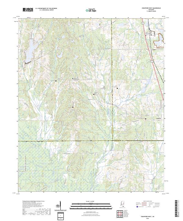 2024 Crawford West2024 Print · USGSCrawford and Penns are captured here at the convergence of three Mississippi counties during the early 2020s. Genealogists can trace deep local roots at Crawford Oaklimb Cem or Pleasant Grove Missionary Baptist Church.
 - 2024 Map of Crawford East, 2024 Print
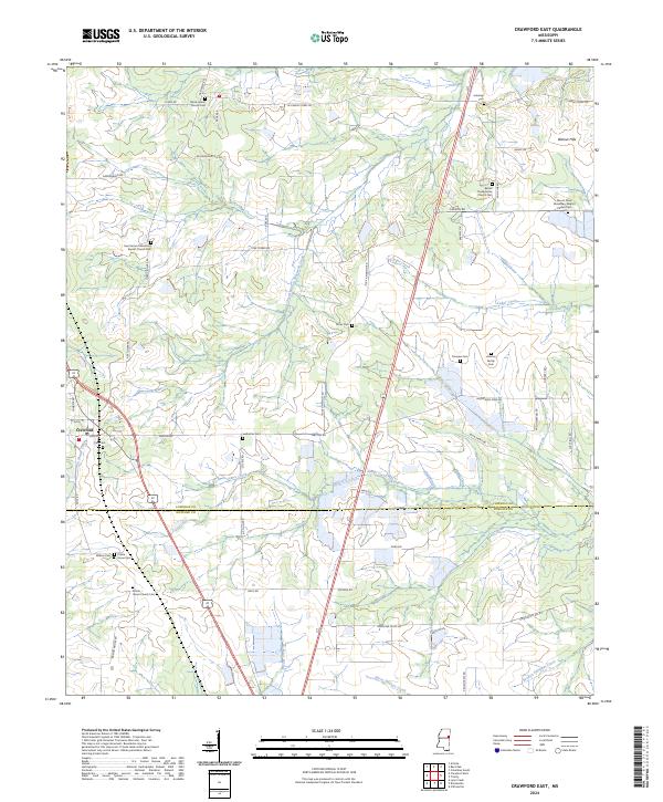 2024 Crawford East2024 Print · USGSLowndes and Noxubee counties meet in this Mississippi landscape during the 2020s, showing the rural development around Crawford. Researchers can trace local heritage through sites like Prairie Grove Church, Ledbetter Cem, and the settlement at Walnut Hills.
 - 2024 Map of Forreston, 2024 Print
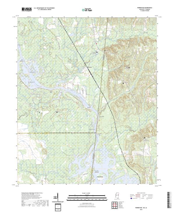 2024 Forreston2024 Print · USGSThe borderlands of Mississippi and Alabama along the Tombigbee River are captured here in a moment of modern continuity. Genealogists and local historians can trace family-named sites and rural congregations like Union Hopewell Missionary Baptist Church Cem, Forreston, and Crawfords Ferry.
 - 2024 Map of Waverly, 2024 Print
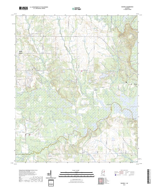 2024 Waverly2024 Print · USGSThis Mississippi survey captures the landscape of Clay and Lowndes counties in the modern era as they border the Tombigbee waterway system. Researchers can locate numerous family burial grounds like Pooles Cem and trace the drainage patterns of Tibbee Creek and Catalpa Creek.
 - 2024 Map of Caledonia, 2024 Print
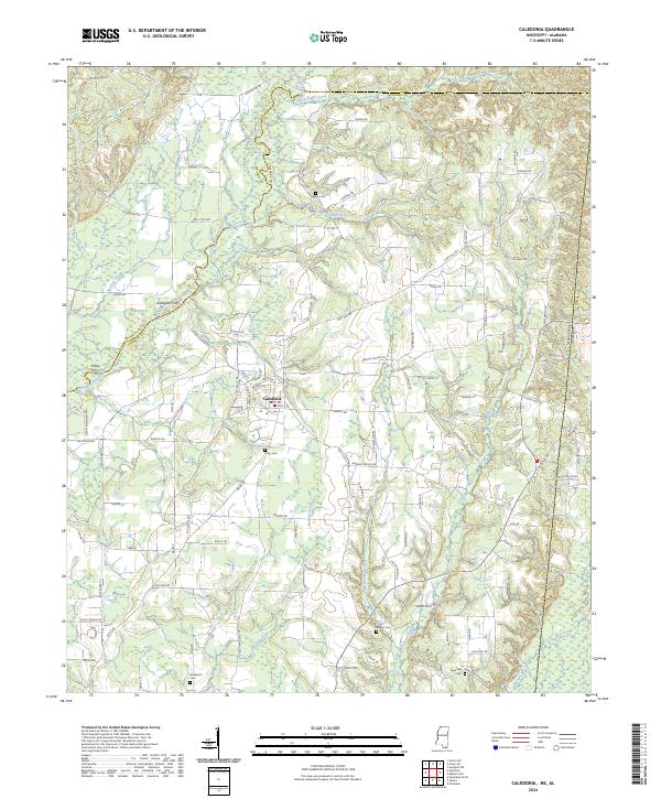 2024 Caledonia2024 Print · USGSNortheast Mississippi’s river country is captured here in the early twenty-first century, centered on the settlement of Caledonia. Researchers can trace old family burial sites like Lone Oak Cem and locate historic river crossings at Gallagher Ferry and Kölbs Ferry.
 - 2024 Map of West Point, 2024 Print
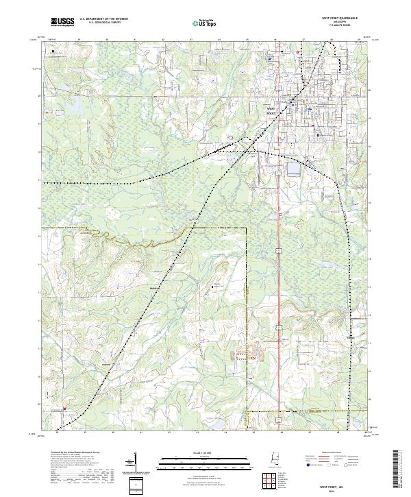 2024 West Point2024 Print · USGSWest Point and the surrounding prairies of Clay and Oktibbeha Counties are documented here in detail during the early twenty-first century. Researchers can locate ancestral sites at Mayhew Mission Cem or trace the early river crossings at Dicks Ferry and Lyons Bluff.
Showing maps 1-25 of 32
Top cities of Lowndes County
Frequently asked questions
- What are the different types of historical maps available for Lowndes County?
- What is the oldest map of Lowndes County?
- Where can I purchase historical maps of Lowndes County for my home or office?
- Where can I download high-res historical maps of Lowndes County?
- Are there historical topographic maps available for Lowndes County?
- Is there historical aerial imagery available for Lowndes County?
- Where are historical maps of Lowndes County sourced from?