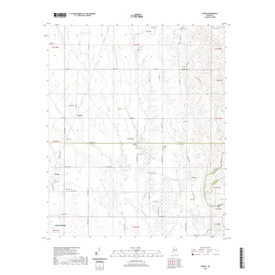
2020 Map of Strong
USGS Topo · Published 2020About this map
West Point and the surrounding rural landscape of Clay County are defined by a high density of family and community burial grounds, reflecting generations of settlement in this part of Mississippi. The map details numerous cemeteries such as Mountain Union Cem, Strong Cem, and Vinton Cem, which are scattered throughout the agricultural and wooded terrain. Significant water features including the Tombigbee River and Richardson Lake anchor the eastern boundary, while smaller waterways like Hang Kettle Cr and Spring Cr drain the central lowlands.
Find a feature on this map
76 named features on this map. Tap any name to fly to it.
Don’t see what you’re looking for? This feature index may not catch every label — zoom into the map to look around manually.
Map Details
Editions of this 2020 Strong Map
This is the sole edition of this map. No revisions or reprints were ever made.
Other maps of this area

1953 · West Point
USGS Topo · 1:250,000

1958 · West Point
USGS Topo · 1:250,000

1959 · West Point
USGS Topo · 1:62,500

1960 · Caledonia
USGS Topo · 1:62,500

1963 · West Point
USGS Topo · 1:250,000

1966 · Aberdeen
USGS Topo · 1:24,000

1966 · Amory SW
USGS Topo · 1:24,000

1966 · Prairie
USGS Topo · 1:24,000

1982 · West Point
USGS Topo · 1:100,000

1984 · West Point
USGS Topo · 1:250,000