
1966 Map of Prairie
USGS Topo · Published 1967About this map
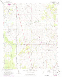
The intersection of the Gulf Mobile And Ohio railroad and local rural life forms the heart of this mid-1960s Mississippi landscape. Centered on the community of Prairie, the map captures a period when regional connectivity relied heavily on rail, evidenced by the infrastructure near the Aberdeen-Prairie Sch. The terrain is defined by its waterways, including Chuquatonchee Creek and Hogpen Creek, which wind through a patchwork of small settlements and family farms.
Find a feature on this map
38 named features on this map. Tap any name to fly to it.
Don’t see what you’re looking for? This feature index may not catch every label — zoom into the map to look around manually.
Map Details
Editions of this 1966 Prairie Map
2 editions found
Other maps of this area

1953 · West Point
USGS Topo · 1:250,000

1958 · West Point
USGS Topo · 1:250,000

1959 · West Point
USGS Topo · 1:62,500

1959 · Van Vleet
USGS Topo · 1:62,500

1959 · Pheba
USGS Topo · 1:62,500

1963 · West Point
USGS Topo · 1:250,000

1965 · Egypt
USGS Topo · 1:24,000

1966 · Aberdeen
USGS Topo · 1:24,000

1966 · Wren
USGS Topo · 1:24,000

1982 · West Point
USGS Topo · 1:100,000