
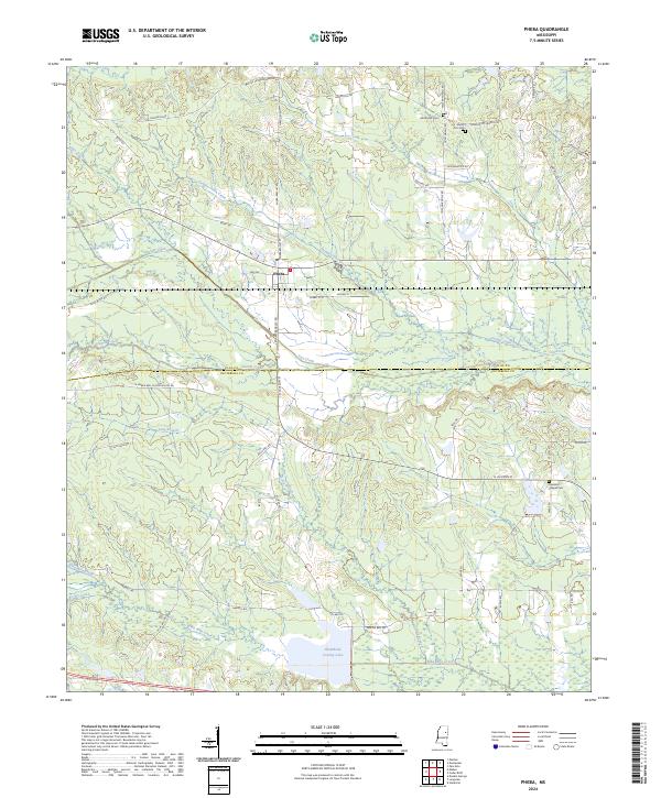
Loading...
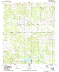
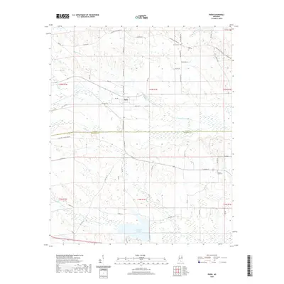
Loading map...1959 Map of Pheba
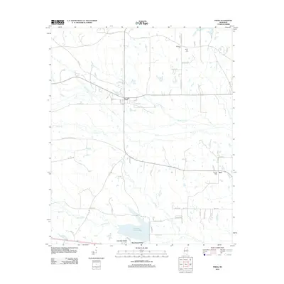
USGS Topo · Published 1960About this map
The Columbus and Greenville railroad cuts through the heart of the Clay County countryside, connecting the small community of Pheba to Cedar Bluff and the rail network beyond. This late-1950s landscape is defined by its deep roots in rural education and worship, featuring a dense distribution of country schools such as Beasley High Sch and Lyon Sch, alongside numerous churches like Prairie Creek Ch and St Pauls Ch.
Find a feature on this map
82 named features on this map. Tap any name to fly to it.
Don’t see what you’re looking for? This feature index may not catch every label — zoom into the map to look around manually.
Map Details
Date Portrayed1959
Date Published1960
PublisherU.S. Geological Survey
Map TypeTopographic
Scale1:62,500
Physical Dimensions16.9 x 20.8 inches
Editions of this 1959 Pheba Map
This is the sole edition of this map. No revisions or reprints were ever made.
Historical Maps of Starkville Through Time
7 maps found
Featured Locations
Source Details
SourceU.S. Geological Survey
CopyrightPublic Domain