
1965 Map of Starkville
USGS Topo · Published 1966About this map
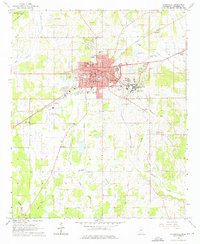
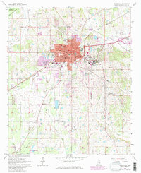
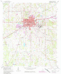
Mississippi State University dominates the eastern landscape of this mid-1960s survey, illustrating the significant institutional footprint adjacent to the growing city of Starkville. The map details a community deeply integrated with its educational and agricultural surroundings, featuring a dense network of local landmarks such as the Courthouse, Hospital, and several specialized campuses including Henderson High Sch and the Sudduth Sch. Beyond the urban core, the rural character of Oktibbeha County is preserved through numerous country houses of worship like Prairie Grove Ch and New Prospect Ch, while the Starkville Municipal Airport and the Illinois Central railroad lines trace the region's transportation corridors. The topography is defined by the winding paths of Hollis Creek and Catalpa Creek, which drain the rolling terrain surrounding the settled areas of State College and Clayton Village.
Find a feature on this map
36 named features on this map. Tap any name to fly to it.
Don’t see what you’re looking for? This feature index may not catch every label — zoom into the map to look around manually.
Map Details
Editions of this 1965 Starkville Map
4 editions found
Other maps of this area

1953 · West Point
USGS Topo · 1:250,000

1958 · West Point
USGS Topo · 1:250,000

1959 · Artesia
USGS Topo · 1:62,500

1959 · West Point
USGS Topo · 1:62,500

1959 · Pheba
USGS Topo · 1:62,500

1963 · West Point
USGS Topo · 1:250,000

1965 · Bluff Lake
USGS Topo · 1:24,000

1965 · Longview
USGS Topo · 1:24,000

1965 · Bradley
USGS Topo · 1:24,000

1982 · West Point
USGS Topo · 1:100,000