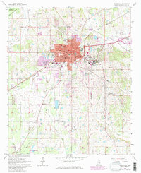
1965 Map of Starkville
USGS Topo · Published 1982About this map
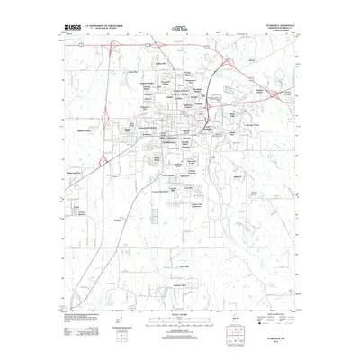
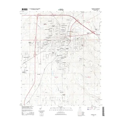
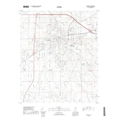
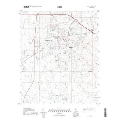
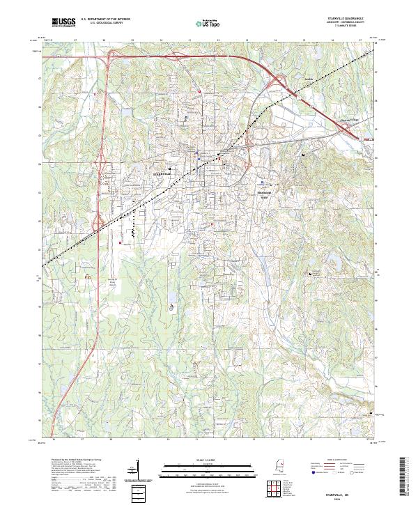
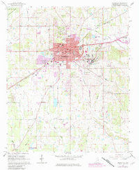
Starkville serves as the focal point of this survey, showing a significant period of growth as urban development, noted in purple revisions, expands outward toward State College and Clayton Village. The dominance of the Mississippi State University campus on the eastern edge of town is clear, alongside its specialized School of Forest Resources to the south. The landscape is deeply etched by a network of waterways including Catalpa Creek, Sand Creek, and Trim Cane Creek, which have historically dictated the placement of early settlements and road crossings.
Find a feature on this map
47 named features on this map. Tap any name to fly to it.
Don’t see what you’re looking for? This feature index may not catch every label — zoom into the map to look around manually.
Map Details
Editions of this 1965 Starkville Map
4 editions found
Historical Maps of Starkville Through Time
6 maps found