
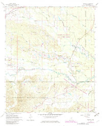
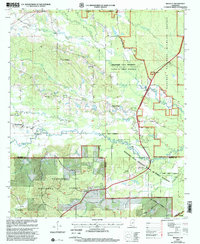
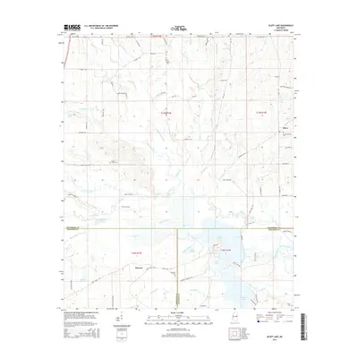
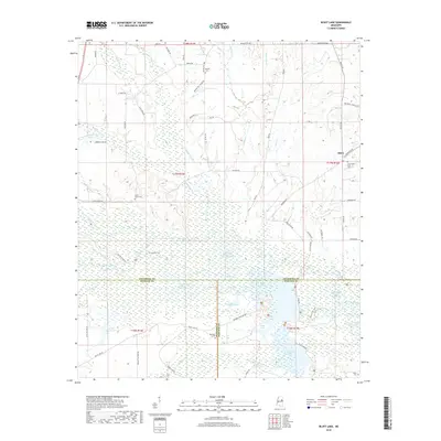
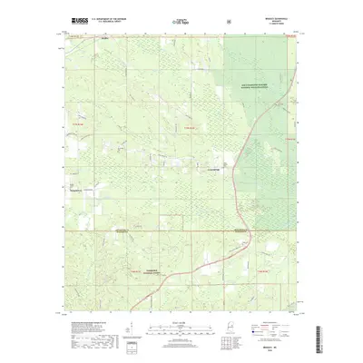
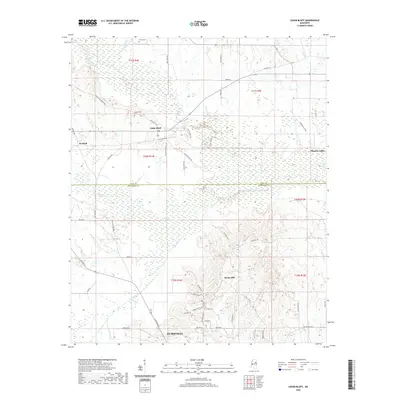
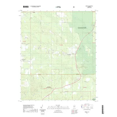
1965 Map of Bluff Lake
USGS Topo · Published 1966About this map
Noxubee National Wildlife Refuge dominates this mid-1960s landscape, spanning the intersection of Oktibbeha, Winston, and Noxubee Counties. The managed wetlands of Bluff Lake and Loakfoma Lake are central features, supported by an intricate system of timber reservoirs and sloughs like Griffin Slough. This survey reveals a transition in land use, where the swampy bottomlands of the Noxubee River and its tributaries, including Cypress Creek and Oktoc Creek, were carefully regulated for conservation.
Find a feature on this map
42 named features on this map. Tap any name to fly to it.
Don’t see what you’re looking for? This feature index may not catch every label — zoom into the map to look around manually.
Map Details
Editions of this 1965 Bluff Lake Map
This is the sole edition of this map. No revisions or reprints were ever made.
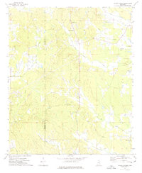
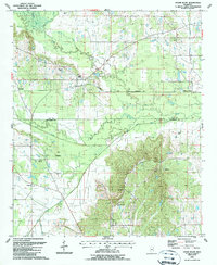
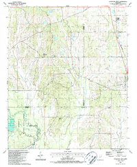
Historical Maps of Winston Through Time
31 maps found
1965 Bluff Lake
Oktibbeha County, MS
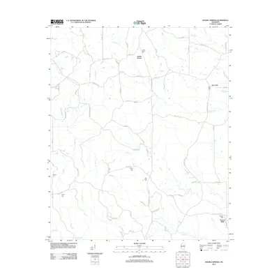
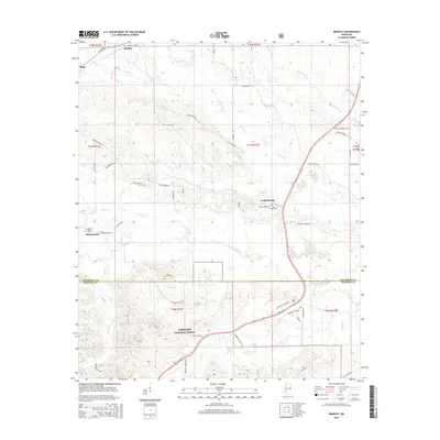
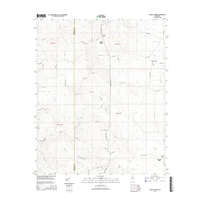
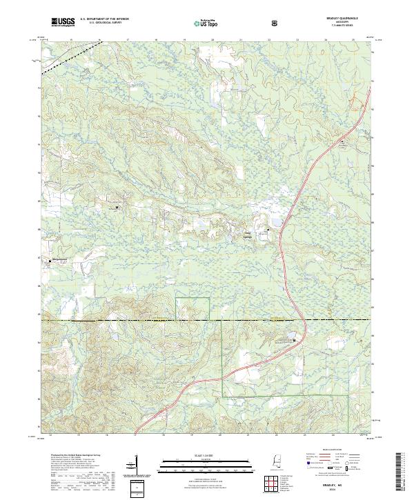
1965 Bradley
Oktibbeha County, MS
1972 Double Springs
Oktibbeha County, MS
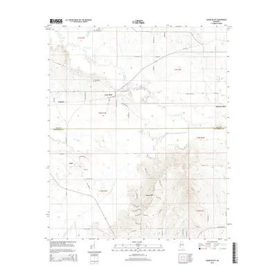
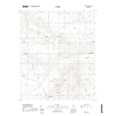
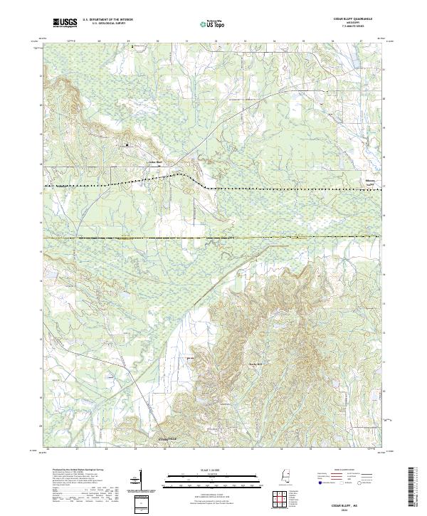
1987 Cedar Bluff
Oktibbeha County, MS
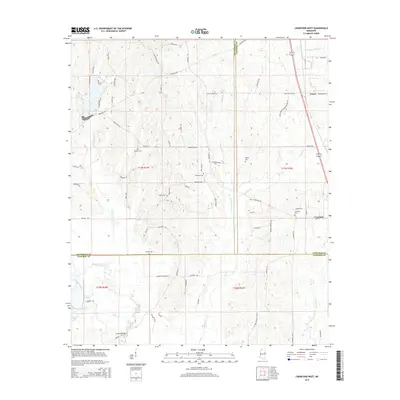
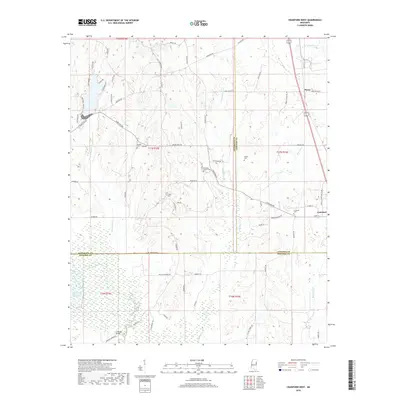
1987 Crawford West
Oktibbeha County, MS
2000 Bradley
Oktibbeha County, MS
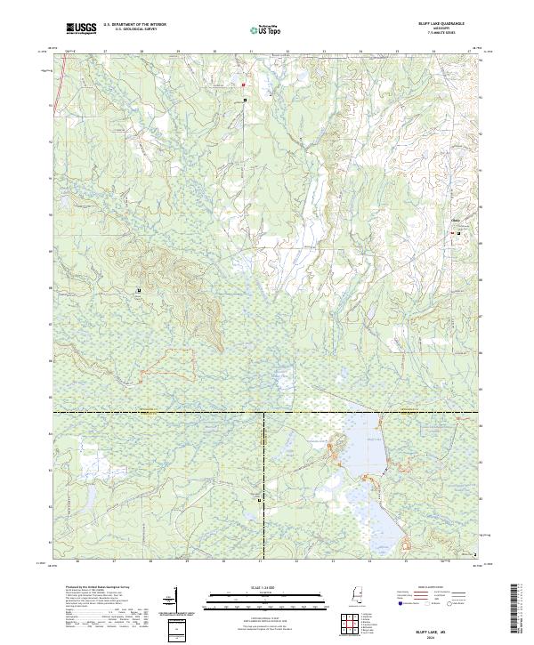
2012 Bluff Lake
Oktibbeha County, MS
2012 Bradley
Oktibbeha County, MS
2012 Cedar Bluff
Oktibbeha County, MS
2012 Crawford West
Oktibbeha County, MS
2012 Double Springs
Oktibbeha County, MS
2015 Bluff Lake
Oktibbeha County, MS
2015 Bradley
Oktibbeha County, MS
2015 Cedar Bluff
Oktibbeha County, MS
2015 Crawford West
Oktibbeha County, MS
2015 Double Springs
Oktibbeha County, MS
2018 Bluff Lake
Oktibbeha County, MS
2018 Bradley
Oktibbeha County, MS
2018 Cedar Bluff
Oktibbeha County, MS
2018 Crawford West
Oktibbeha County, MS
2018 Double Springs
Oktibbeha County, MS
2020 Cedar Bluff
Oktibbeha County, MS
2020 Crawford West
Oktibbeha County, MS
2020 Double Springs
Oktibbeha County, MS
2021 Bluff Lake
Oktibbeha County, MS
2021 Bradley
Oktibbeha County, MS
2024 Bluff Lake
Oktibbeha County, MS
2024 Bradley
Oktibbeha County, MS
2024 Cedar Bluff
Oktibbeha County, MS
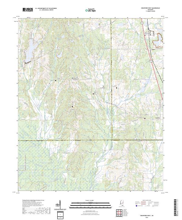
2024 Crawford West
Oktibbeha County, MS
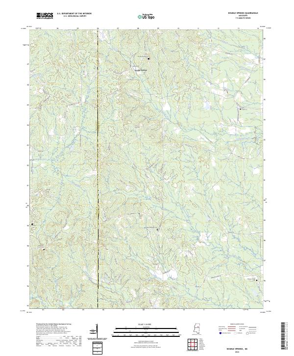
2024 Double Springs
Oktibbeha County, MS