Loading...
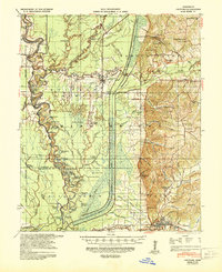
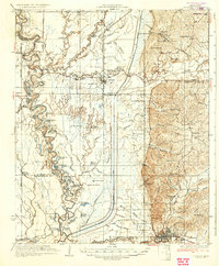
Loading map...1939 Map of Crowder
USGS Topo · Published 1943About this map
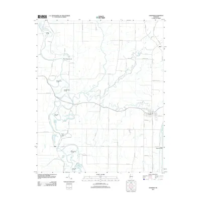
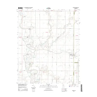
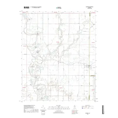
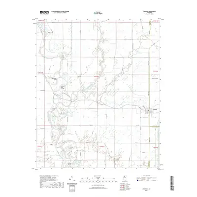
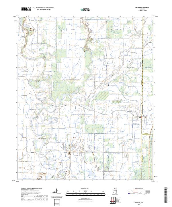
Crowder sits at the heart of a complex deltaic drainage system where the Tallahatchie River and Yocona River meet. This survey, conducted shortly before significant mid-century flood control alterations, shows the intricate network of bayous and lakes that defined life in Quitman and Panola counties. The presence of the Panola-Quitman Floodway and a notable Flood Gate at Crowder indicates the early engineering efforts to manage the volatile waters of the Yazoo Basin.
Find a feature on this map
86 named features on this map. Tap any name to fly to it.
Don’t see what you’re looking for? This feature index may not catch every label — zoom into the map to look around manually.
Map Details
Date Portrayed1939
Date Published1943
PublisherU.S. Geological Survey
Map TypeTopographic
Scale1:62,500
Physical Dimensions17.9 x 22 inches
Editions of this 1939 Crowder Map
This is the sole edition of this map. No revisions or reprints were ever made.
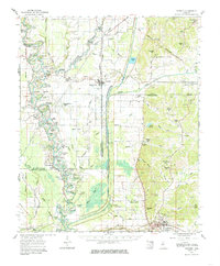
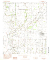
Historical Maps of Charleston Through Time
9 maps found
Featured Locations
Source Details
SourceU.S. Geological Survey
CopyrightPublic Domain