
1966 Map of Amory
USGS Topo · Published 1967About this map
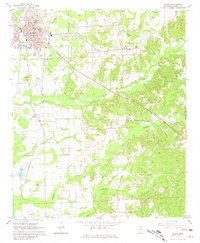
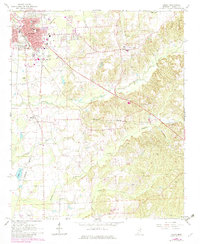
The railroad town of Amory dominates the northwest corner of this mid-1960s survey, where the St Louis - San Francisco rail line cuts through a landscape shaped by local creeks and small-scale industry. The town grid, featuring Main St and Front St, sits just south of McAlpine Lake, while the surrounding rural areas are defined by a network of country churches and family-named cemeteries. To the east, the small settlement of Hatley is surrounded by terrain carved by Burketts Creek and Turner Branch. The map reveals a balance between the industrial activity at the Gravel Pit and Gas Well sites and the civic presence of institutions like Gilmore Hospital. Genealogists will find particular value in the numerous recorded burial grounds, including Greenbrier Cem, Gilleylen Cem, and the Harmony Ch Cem, which anchor the small communities of Becker and the surrounding Monroe County countryside.
Find a feature on this map
38 named features on this map. Tap any name to fly to it.
Don’t see what you’re looking for? This feature index may not catch every label — zoom into the map to look around manually.
Map Details
Editions of this 1966 Amory Map
3 editions found
Other maps of this area

1953 · West Point
USGS Topo · 1:250,000

1956 · Tupelo
USGS Topo · 1:250,000

1958 · Tupelo
USGS Topo · 1:250,000

1958 · West Point
USGS Topo · 1:250,000

1963 · West Point
USGS Topo · 1:250,000

1966 · Smithville
USGS Topo · 1:24,000

1966 · Aberdeen
USGS Topo · 1:24,000

1966 · Amory SW
USGS Topo · 1:24,000

1966 · Turon
USGS Topo · 1:24,000

1966 · Wren
USGS Topo · 1:24,000