Old Maps of Newton, Mississippi
Explore 16 old maps of Newton, spanning from 1953 to today. These high-resolution historic maps reveal how streets, neighborhoods, landmarks, and natural features evolved over time — perfect for genealogy, metal detecting, research, and local history exploration.
What you can do with these maps:
- See how Newton changed over time: Compare historical maps to modern-day views to trace roads, homesites, rail lines & more.
- View detailed metadata: Each map includes creators, publishers, year, scale, and archive source.
- Overlay maps with satellite & LiDAR: Visualize the past alongside modern tools to explore terrain & human change.
- Trusted historical sources: Maps sourced from the USGS, Library of Congress, and other archives.
- Access maps your way: View online, download high-res files, or order prints for personal or research use.
Start exploring old maps of Newton to uncover forgotten places, hidden landmarks, and the deep history beneath your feet.
Newton, MS maps
(16)- 1953 Map of Meridian, 1966 Print
 1953 Meridian1966 Print · USGSEast Central Mississippi and the Alabama borderlands are captured here during a period of steady growth and infrastructure expansion. Genealogists and historians can trace rail-town development along the Gulf Mobile & Ohio Railroad and find early settlements like Scooba, Pelahatchie, and De Kalb.2 unique versions available
 - 1957 Map of Meridian
 1957 Meridian1957 Print · USGSEast Central Mississippi and parts of Western Alabama come alive in the mid-1950s, centered on the transit hub of Meridian. Researchers can trace old rail lines like the Illinois Central and find historic sites such as the Choctaw Indian Reservation and Roosevelt State Park.
 - 1965 Map of Meridian
 1965 Meridian1965 Print · USGSEast Mississippi and West Alabama are mapped here in the mid-sixties as the region's modern highway and reservoir systems began to take shape. Researchers can trace rural lineages through local landmarks like Prince Chapel and Tuscahoma Landing, or follow the historic Gulf Mobile & Ohio rail lines.
 - 1966 Map of Hickory, 1967 Print
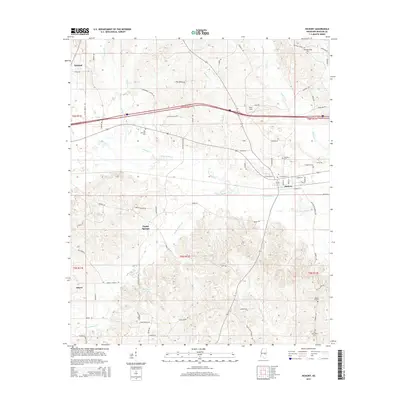
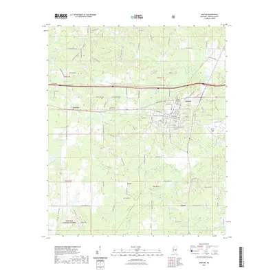
 1966 Hickory1967 Print · USGSNewton County in the mid-1960s shows a landscape of rural community and evolving transit. Genealogists can locate family landmarks like Old Norman Cem, Ferguson Cem, and the State Experiment Station near Hickory.
 - 1966 Map of Newton, 1967 Print
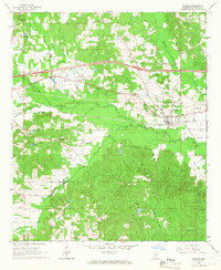
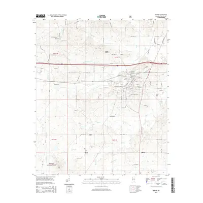
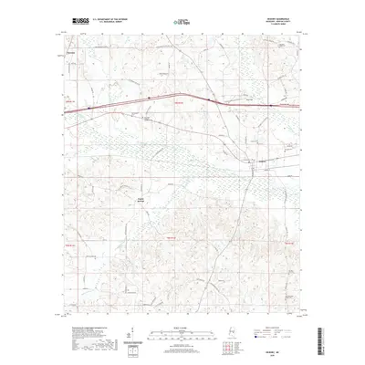
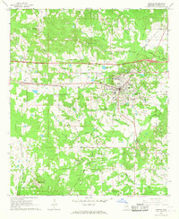 1966 Newton1967 Print · USGSNewton and the surrounding central Mississippi timberlands are captured here in the mid-sixties during a period of infrastructure expansion. Genealogists and historians can locate family landmarks like Evans Cem, Clark Memorial College, and the old Richardson Mill.2 unique versions available
 - 1984 Map of Forest
 1984 Forest1984 Print · USGSCentral Mississippi in the mid-eighties centers on the timberlands and rail corridors of the Bienville National Forest. Genealogists and historians can trace old settlements like Conehatta and Hillsboro or follow the Illinois Central Gulf line through Morton and Newton.2 unique versions available
 - 2012 Map of Newton, 2012 Print
 2012 Newton2012 Print · USGSCovers Newton, including Pilgrim Grove, Bethel, and other nearby areas
 - 2012 Map of Hickory, 2012 Print
 2012 Hickory2012 Print · USGSCovers Newton, including Hickory, Poplar Springs, and other nearby areas
 - 2015 Map of Newton, 2015 Print
 2015 Newton2015 Print · USGSCovers Newton, including Pilgrim Grove, Bethel, and other nearby areas
 - 2015 Map of Hickory, 2015 Print
 2015 Hickory2015 Print · USGSCovers Newton, including Hickory, Poplar Springs, and other nearby areas
 - 2018 Map of Newton, 2018 Print
 2018 Newton2018 Print · USGSCovers Newton, including Pilgrim Grove, Bethel, and other nearby areas
 - 2018 Map of Hickory, 2018 Print
 2018 Hickory2018 Print · USGSCovers Newton, including Hickory, Poplar Springs, and other nearby areas
 - 2020 Map of Hickory, 2020 Print
 2020 Hickory2020 Print · USGSCovers Newton, including Hickory, Poplar Springs, and other nearby areas
 - 2021 Map of Newton, 2021 Print
 2021 Newton2021 Print · USGSCovers Newton, including Pilgrim Grove, Bethel, and other nearby areas
 - 2024 Map of Newton, 2024 Print
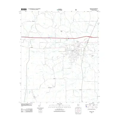
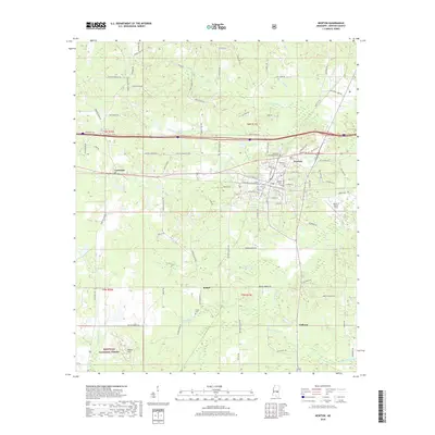
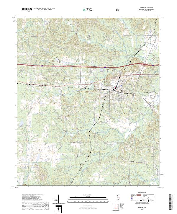 2024 Newton2024 Print · USGSThe town of Newton and the surrounding timberlands of the Bienville National Forest are shown here as they appear today. Researchers can locate family sites and landmarks like the Doolittle Confederate Cem, the Kansas City Southern railroad, and the rural settlement of Bethel.
 - 2024 Map of Hickory, 2024 Print
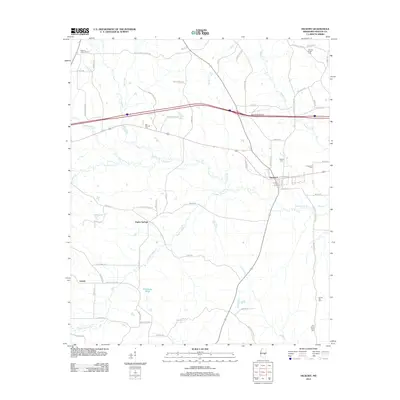
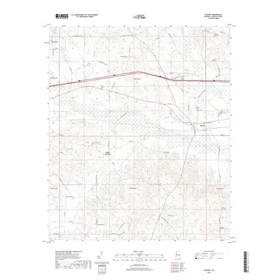
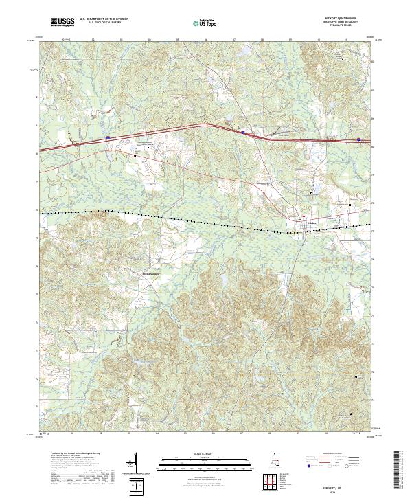 2024 Hickory2024 Print · USGSEastern Newton County settlement and cemetery locations are documented in this contemporary survey. Researchers can trace family history through sites like Mississippi Veterans Memorial Cem Newton and the Old Good Hope Baptist Cem near Hickory.
End of results
Showing maps 1-16 of 16
Top cities near Newton
- Union historical maps
- Decatur historical maps
- Hickory historical maps
- Chunky historical maps
- Montrose historical maps
Frequently asked questions
- What are the different types of historical maps available for Newton?
- What is the oldest map of Newton?
- Where can I purchase historical maps of Newton for my home or office?
- Where can I download high-res historical maps of Newton?
- Are there historical topographic maps available for Newton?
- Is there historical aerial imagery available for Newton?
- Where are historical maps of Newton sourced from?