Old Maps of McIvor, Mississippi
Explore 14 old maps of McIvor, spanning from 1952 to today. These high-resolution historic maps reveal how streets, neighborhoods, landmarks, and natural features evolved over time — perfect for genealogy, metal detecting, research, and local history exploration.
What you can do with these maps:
- See how McIvor changed over time: Compare historical maps to modern-day views to trace roads, homesites, rail lines & more.
- View detailed metadata: Each map includes creators, publishers, year, scale, and archive source.
- Overlay maps with satellite & LiDAR: Visualize the past alongside modern tools to explore terrain & human change.
- Trusted historical sources: Maps sourced from the USGS, Library of Congress, and other archives.
- Access maps your way: View online, download high-res files, or order prints for personal or research use.
Start exploring old maps of McIvor to uncover forgotten places, hidden landmarks, and the deep history beneath your feet.
McIvor, MS maps
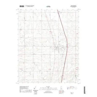
(14)- 1952 Map of Sardis, 1965 Print
 1952 Sardis1965 Print · USGSPanola County enters the post-war era as the newly formed Sardis Lake reshapes the Tallahatchie River valley. Genealogists can trace decades of community history through numerous rural landmarks like Mt Olivet Ch & Cem and Vaughn Sch.
 - 1953 Map of Sardis
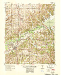 1953 Sardis1953 Print · USGSPanola County's landscape is defined by the managed waters of the Tallahatchie and the steady pulse of the rail line during the early fifties. Genealogists can locate numerous rural landmarks like Central Academy, Ross Hill Cem, and Simon Chapel No 2 Sch & Cem.
 - 1956 Map of Tupelo, 1967 Print
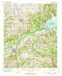
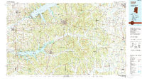
 1956 Tupelo1967 Print · USGSNortheast Mississippi and parts of Tennessee and Alabama are shown here during the mid-fifties, a time of major reservoir construction and forestry management. Researchers can trace the St Louis-San Francisco RR through Tupelo or locate historic sites like Tishomingo State Park and the University.2 unique versions available
 - 1958 Map of Tupelo
 1958 Tupelo1958 Print · USGSNortheast Mississippi and neighboring Alabama and Tennessee appear here during the late fifties as a region defined by new reservoirs and historic rail lines. Genealogists can trace family locations near Sardis Lake, Woodall Mountain, and the St Louis-San Francisco Ry.
 - 1975 Map of Sardis NW, 1976 Print
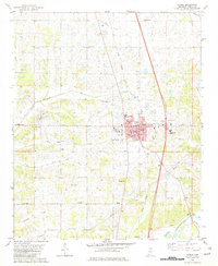
 1975 Sardis NW1976 Print · USGSPanola County in the mid-1970s is revealed in this detailed aerial survey, showing the town and its surrounding agricultural landscape. Researchers can trace the development of Sardis and the surrounding farmsteads across the Mississippi terrain.
 - 1982 Map of Sardis
 1982 Sardis1982 Print · USGSPanola County in the early eighties shows the settled landscape around Sardis and the Little Tallahatchie River. Trace local family roots and community history through landmarks like Rose Hill Cem, Morris Chapel, and the Illinois Central Gulf rail line.
 - 1984 Map of Tupelo
 1984 Tupelo1984 Print · USGSNorth Mississippi in the 1980s is defined by its massive river basin reservoirs and the growing regional hubs of Tupelo and Oxford. Researchers can trace the legacy of the Pontotoc Ridge, find the University of Mississippi, and map early Interstate corridors near Sardis Lake.3 unique versions available
 - 1984 Map of Oxford, 1985 Print
 1984 Oxford1985 Print · USGSOxford and its surrounding hill country are captured in the mid-eighties as university life and rural industry intersected. Genealogists and historians can trace rail lines like the ST LOUIS-SAN FRANCISCO RY and locate old rural centers such as College Hill Sta and Lafayette Springs.
 - 1990 Map of Oxford, 1991 Print
 1990 Oxford1991 Print · USGSNorth Mississippi at the start of the nineties centers on the university town of Oxford and the large reservoirs of the Tallahatchie River valley. Researchers can trace the Illinois Central Gulf RR through towns like Water Valley and locate landmarks such as College Hill Sta.
 - 2012 Map of Sardis, 2012 Print
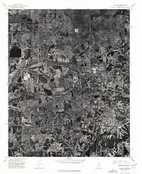
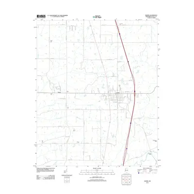 2012 Sardis2012 Print · USGSCovers McIvor, including Sardis, Panola County, and other nearby areas
 - 2015 Map of Sardis, 2015 Print
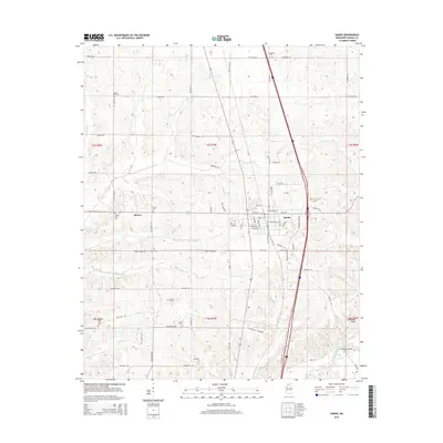 2015 Sardis2015 Print · USGSCovers McIvor, including Sardis, Panola County, and other nearby areas
 - 2018 Map of Sardis, 2018 Print
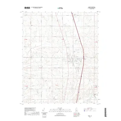 2018 Sardis2018 Print · USGSCovers McIvor, including Sardis, Panola County, and other nearby areas
 - 2021 Map of Sardis, 2021 Print
 2021 Sardis2021 Print · USGSCovers McIvor, including Sardis, Panola County, and other nearby areas
 - 2024 Map of Sardis, 2024 Print
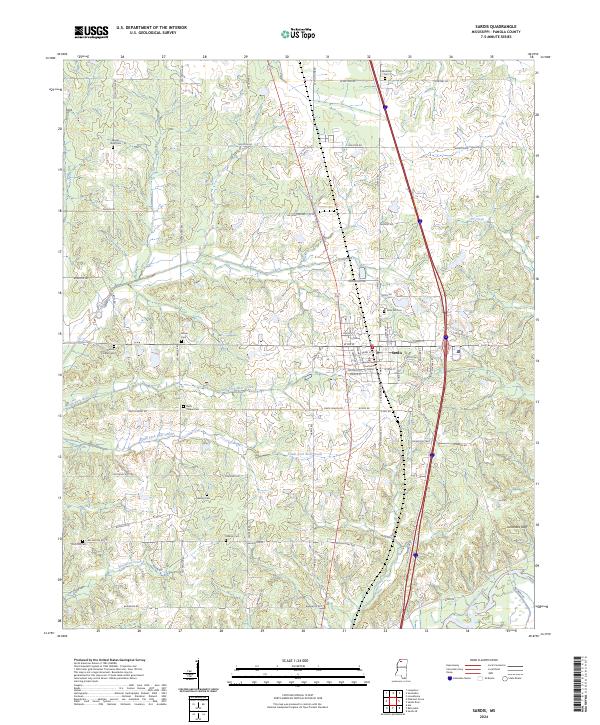 2024 Sardis2024 Print · USGSSardis and the surrounding Panola County countryside are captured here in the mid-2020s, showing the intersection of rural heritage and modern infrastructure. Researchers can locate many local burial grounds such as Rose Hill Cem and Bishop Cem or trace the Little Tallahatchie River near Jonathans Bluff.
End of results
Showing maps 1-14 of 14
Top cities near McIvor
- Batesville historical maps
- Senatobia historical maps
- Sardis historical maps
- Como historical maps
- Courtland historical maps
- Pope historical maps
Frequently asked questions
- What are the different types of historical maps available for McIvor?
- What is the oldest map of McIvor?
- Where can I purchase historical maps of McIvor for my home or office?
- Where can I download high-res historical maps of McIvor?
- Are there historical topographic maps available for McIvor?
- Is there historical aerial imagery available for McIvor?
- Where are historical maps of McIvor sourced from?