Old Maps of Wallfield, Mississippi for Academic Research
Study the evolution of Wallfield with 11 high-resolution historic maps. Whether you're teaching, researching, or modeling changes in land use, these maps provide essential visual documentation of urban, environmental, and geographic change.
- Analyze long-term change: Track patterns in development, transportation, and natural features.
- Ideal for environmental or urban studies: Support academic projects with primary historical map data.
- Use in the classroom or lab: Educators and researchers rely on these maps to bring historical context to life.
These maps are a powerful tool for teaching, research, and visualizing how Wallfield has changed over the decades.
Wallfield, MS maps
(11)- 1956 Map of Tupelo, 1967 Print
 1956 Tupelo1967 Print · USGSNortheast Mississippi and parts of Tennessee and Alabama are shown here during the mid-fifties, a time of major reservoir construction and forestry management. Researchers can trace the St Louis-San Francisco RR through Tupelo or locate historic sites like Tishomingo State Park and the University.2 unique versions available
 - 1958 Map of Tupelo
 1958 Tupelo1958 Print · USGSNortheast Mississippi and neighboring Alabama and Tennessee appear here during the late fifties as a region defined by new reservoirs and historic rail lines. Genealogists can trace family locations near Sardis Lake, Woodall Mountain, and the St Louis-San Francisco Ry.
 - 1972 Map of Houlka, 1974 Print
 1972 Houlka1974 Print · USGSThe crossroads at Houlka and the neighboring hamlets of Wallfield and Gershorm are captured here during the early seventies. Genealogists can trace family footprints across several historic sites, including the Cooke Cem, Beckham Sch, and Schooner Valley Ch.
 - 1984 Map of Tupelo
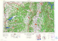 1984 Tupelo1984 Print · USGSNorth Mississippi in the 1980s is defined by its massive river basin reservoirs and the growing regional hubs of Tupelo and Oxford. Researchers can trace the legacy of the Pontotoc Ridge, find the University of Mississippi, and map early Interstate corridors near Sardis Lake.3 unique versions available
 - 1984 Map of Oxford, 1985 Print
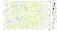 1984 Oxford1985 Print · USGSOxford and its surrounding hill country are captured in the mid-eighties as university life and rural industry intersected. Genealogists and historians can trace rail lines like the ST LOUIS-SAN FRANCISCO RY and locate old rural centers such as College Hill Sta and Lafayette Springs.
 - 1990 Map of Oxford, 1991 Print
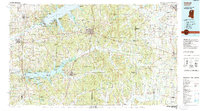 1990 Oxford1991 Print · USGSNorth Mississippi at the start of the nineties centers on the university town of Oxford and the large reservoirs of the Tallahatchie River valley. Researchers can trace the Illinois Central Gulf RR through towns like Water Valley and locate landmarks such as College Hill Sta.
 - 2012 Map of Houlka, 2012 Print
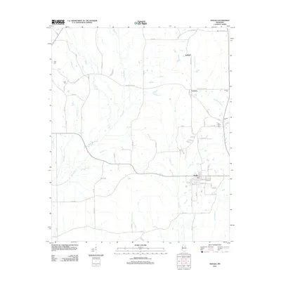 2012 Houlka2012 Print · USGSThe rural landscape north of Houlka is documented here during the early twenty-first century as the area transitioned into a modern agricultural corridor. Genealogists can trace family heritage through scattered burial grounds like Indian Creek Cem and East County Line Cem or the small settlements of Gershorm and Wallfield.
 - 2015 Map of Houlka, 2015 Print
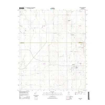 2015 Houlka2015 Print · USGSNortheastern Mississippi at the Chickasaw and Pontotoc county line shows a landscape defined by the Skuna River and rural crossroads. Local researchers can trace family landmarks like Cooke Cem, Gershorm, and the neighboring settlements of Houlka and New Houlka.
 - 2018 Map of Houlka, 2018 Print
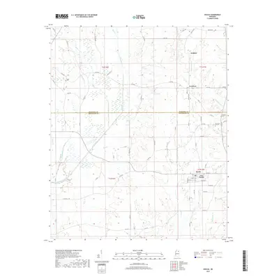 2018 Houlka2018 Print · USGSUpper Mississippi hill country is documented here during the late 2010s, centered on the historic Pontotoc and Chickasaw County border. Local historians can locate family burial grounds like Cooke Cem and trace the waterways of the Skuna River and Chuquatonchee Cr.
 - 2021 Map of Houlka, 2021 Print
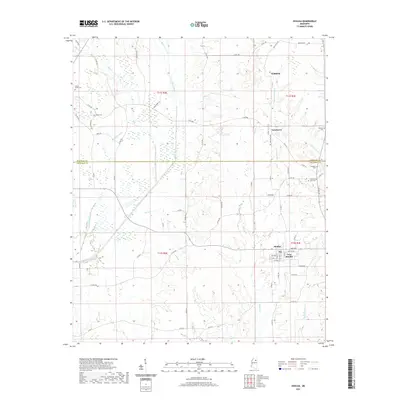 2021 Houlka2021 Print · USGSThe rural borders of Chickasaw and Pontotoc Counties are captured here during the early 2020s, showcasing the persistent small-town character of the Mississippi interior. Researchers can locate several burial grounds like Indian Creek Cem and Holladay Cem, or trace the path of the Skuna River through New Houlka.
 - 2024 Map of Houlka, 2024 Print
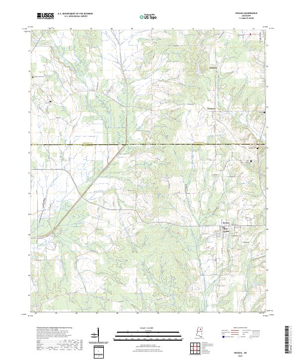 2024 Houlka2024 Print · USGSThe borderlands of Chickasaw and Pontotoc counties are captured here in the modern era, showing the twin settlements of Houlka and New Houlka. Researchers can locate several family-named landmarks and rural burial sites including Williams Cem, Holladay Cem, and Indian Creek Cem.
End of results
Showing maps 1-11 of 11
Top cities near Wallfield
- Pontotoc historical maps
- Houston historical maps
- Vardaman historical maps
- Algoma historical maps
- Thaxton historical maps
- Toccopola historical maps
Frequently asked questions
- What are the different types of historical maps available for Wallfield?
- What is the oldest map of Wallfield?
- Where can I purchase historical maps of Wallfield for my home or office?
- Where can I download high-res historical maps of Wallfield?
- Are there historical topographic maps available for Wallfield?
- Is there historical aerial imagery available for Wallfield?
- Where are historical maps of Wallfield sourced from?