2000s (21st Century) Maps of Rolling Fork, Mississippi
Explore 11 historic maps of Rolling Fork from the 2000s (21st Century). These maps offer a rare glimpse into what life looked like during the 2000s — showing old roads, neighborhoods, homes, and landmarks that have changed or disappeared over time.
Whether you're researching your family's past, planning a metal detecting trip, or studying how Rolling Fork's landscape evolved across the 2000s, these high-resolution maps are a powerful tool for exploring the history of this region.
- Focus on a specific era: All maps on this page are from the 2000s, giving you a focused view of this time period.
- See what’s changed: Compare century-old streets, trails, and buildings to today's modern landscape using overlays and satellite layers.
- Research with precision: Use these maps for genealogy, historical research, land use analysis, or educational projects.
- View, download, or print: Maps are fully viewable online in high resolution, and can be downloaded or printed for your own records.
Start exploring Rolling Fork's history through authentic maps from the 2000s. This is your window into the past.
Rolling Fork, MS maps
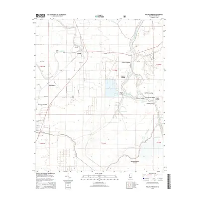
(11)- 2000 Map of Rolling Fork East, 2002 Print
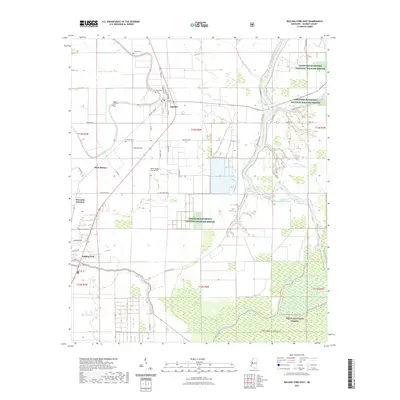
 2000 Rolling Fork East2002 Print · USGSThe Mississippi Delta landscape comes alive in the late twentieth century as it transitions from the fields of Anguilla to the Delta National Forest. Researchers can trace the river landings and bayous of Sharkey County, including Holland Landing and Little Atchafalaya Bayou.
 - 2012 Map of Rolling Fork East, 2012 Print
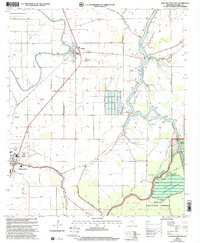
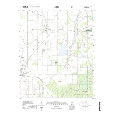
 2012 Rolling Fork East2012 Print · USGSCovers Rolling Fork, including Anguilla, Tisdell Landing, and other nearby areas
 - 2012 Map of Rolling Fork West, 2012 Print
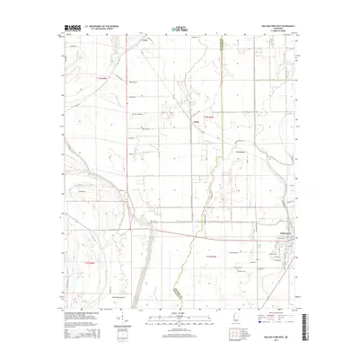
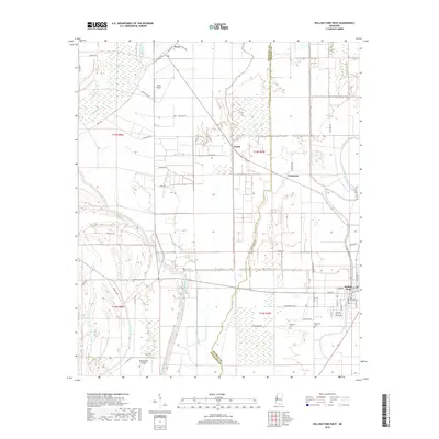
 2012 Rolling Fork West2012 Print · USGSCovers Rolling Fork, including Lorenzen, Booth, and other nearby areas
 - 2015 Map of Rolling Fork West, 2015 Print
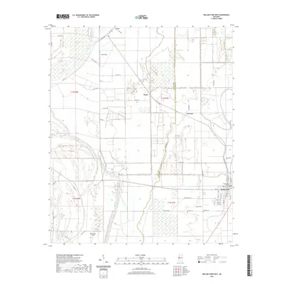
 2015 Rolling Fork West2015 Print · USGSCovers Rolling Fork, including Lorenzen, Booth, and other nearby areas
 - 2015 Map of Rolling Fork East, 2015 Print
 2015 Rolling Fork East2015 Print · USGSCovers Rolling Fork, including Anguilla, Tisdell Landing, and other nearby areas
 - 2018 Map of Rolling Fork West, 2018 Print
 2018 Rolling Fork West2018 Print · USGSCovers Rolling Fork, including Lorenzen, Booth, and other nearby areas
 - 2018 Map of Rolling Fork East, 2018 Print
 2018 Rolling Fork East2018 Print · USGSCovers Rolling Fork, including Anguilla, Tisdell Landing, and other nearby areas
 - 2020 Map of Rolling Fork West, 2020 Print
 2020 Rolling Fork West2020 Print · USGSCovers Rolling Fork, including Lorenzen, Booth, and other nearby areas
 - 2021 Map of Rolling Fork East, 2021 Print
 2021 Rolling Fork East2021 Print · USGSCovers Rolling Fork, including Anguilla, Tisdell Landing, and other nearby areas
 - 2024 Map of Rolling Fork East, 2024 Print
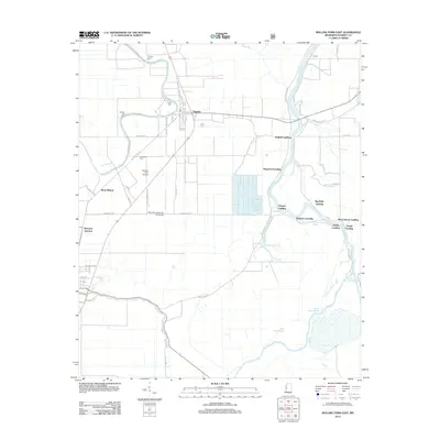
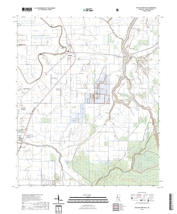 2024 Rolling Fork East2024 Print · USGSThis contemporary look at Sharkey County shows the intricate wetlands of the Mississippi Delta south of Anguilla. Genealogists and historians can locate rural landmarks like Cameta Cem, Mont Helena, and the forested reaches of the Delta National Forest.
 - 2024 Map of Rolling Fork West, 2024 Print
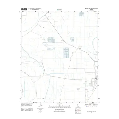
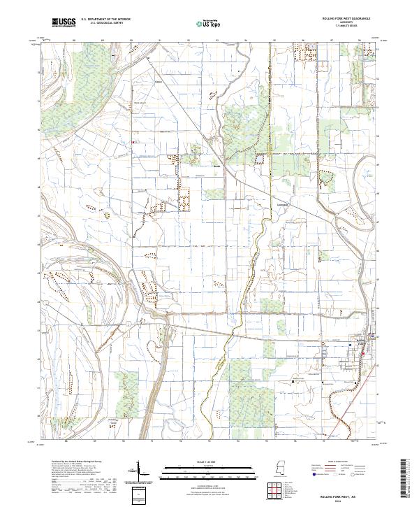 2024 Rolling Fork West2024 Print · USGSThe western outskirts of Rolling Fork and the surrounding Delta bayous are captured here in recent years. Researchers can trace family history at Elmwood Cem and Mound Cem or locate the rural crossroads of Grace and Booth.
End of results
Showing maps 1-11 of 11
Top cities near Rolling Fork
Frequently asked questions
- What are the different types of historical maps available for Rolling Fork?
- What is the oldest map of Rolling Fork?
- Where can I purchase historical maps of Rolling Fork for my home or office?
- Where can I download high-res historical maps of Rolling Fork?
- Are there historical topographic maps available for Rolling Fork?
- Is there historical aerial imagery available for Rolling Fork?
- Where are historical maps of Rolling Fork sourced from?