Old Maps of Rolling Fork, Mississippi for Academic Research
Study the evolution of Rolling Fork with 19 high-resolution historic maps. Whether you're teaching, researching, or modeling changes in land use, these maps provide essential visual documentation of urban, environmental, and geographic change.
- Analyze long-term change: Track patterns in development, transportation, and natural features.
- Ideal for environmental or urban studies: Support academic projects with primary historical map data.
- Use in the classroom or lab: Educators and researchers rely on these maps to bring historical context to life.
These maps are a powerful tool for teaching, research, and visualizing how Rolling Fork has changed over the decades.
Rolling Fork, MS maps
(19)- 1939 Map of Lorenzen, 1941 Print
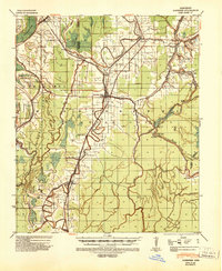 1939 Lorenzen1941 Print · USGSSharkey County at the end of the Depression era is a intricate landscape of rail junctions and Delta waterways. Genealogists and researchers can trace local landmarks like Mont Helena, the Indian Mound at Grace, and rural stations such as Riverside Jct and Lorenzen.2 unique versions available
 - 1955 Map of Jackson
 1955 Jackson1955 Print · USGSThe Lower Mississippi Valley at the middle of the century reveals a landscape of deep river meanders and growing rail hubs. Genealogists and historians can trace the mid-century footprints of Vicksburg National Military Park, old river landings at Port Gibson, and the rail corridors of the Illinois Central Railroad.3 unique versions available
 - 1961 Map of Jackson
 1961 Jackson1961 Print · USGSThe Lower Mississippi Delta and the state capital area are captured here during the post-war era of infrastructure expansion. Researchers can trace the complex river oxbows and rail lines connecting Vicksburg, Yazoo City, and the Illinois Central Railroad network.
 - 1962 Map of Jackson
 1962 Jackson1962 Print · USGSThe Mississippi Delta and the state capital region are mapped here in the early sixties, showing a landscape defined by the great river and the growing city of JACKSON. Genealogists can trace family roots through numerous landmarks like Cedar Hill Cem, rural stops on the Illinois Central RR, and historic sites like Champion Hill.2 unique versions available
 - 1964 Map of Lorenzen, 1966 Print
 1964 Lorenzen1966 Print · USGSThe Mississippi Delta's intricate bayou network is meticulously detailed here during the mid-1960s. Genealogists and local historians can trace family roots through numerous landmarks like St Michaels Ch, Elmwood Cem, and the old rail stop at Riverside Junction.2 unique versions available
 - 1984 Map of Yazoo City
 1984 Yazoo City1984 Print · USGSThe Mississippi Delta and loess bluffs meet in the mid-eighties as the Yazoo River snakes through a dense network of wildlife areas and rail lines. Researchers can trace rural life and drainage history through small communities like Holly Bluff, Mechanicsburg, and Satartia.2 unique versions available
 - 1988 Map of Rolling Fork West
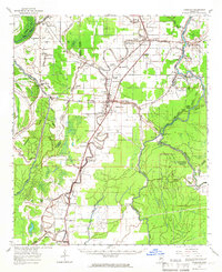
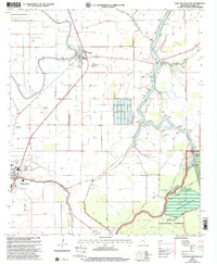
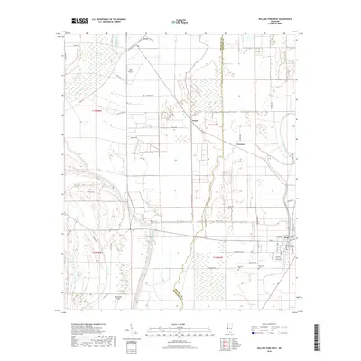
 1988 Rolling Fork West1988 Print · USGSThe Yazoo Delta in the late eighties reveals a landscape shaped by water management and a growing aquaculture industry. Genealogists and local historians can trace family-named sites and rural hubs like Rolling Fork, Grace, and the Lookout Tower near Steele Bayou.
 - 1988 Map of Rolling Fork East
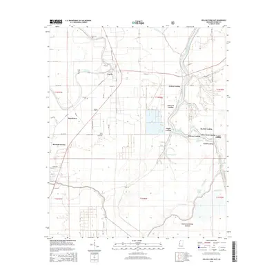
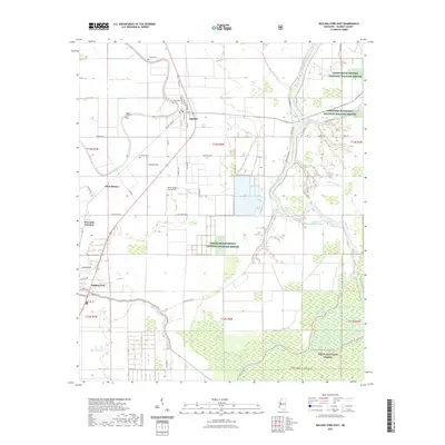
 1988 Rolling Fork East1988 Print · USGSThe Sharkey County floodplain in the late eighties shows a landscape of river landings and agricultural settlements. Researchers can trace family sites near Anguilla, explore the Delta National Forest boundary, or locate the historic community of Africa.
 - 2000 Map of Rolling Fork East, 2002 Print
 2000 Rolling Fork East2002 Print · USGSThe Mississippi Delta landscape comes alive in the late twentieth century as it transitions from the fields of Anguilla to the Delta National Forest. Researchers can trace the river landings and bayous of Sharkey County, including Holland Landing and Little Atchafalaya Bayou.
 - 2012 Map of Rolling Fork East, 2012 Print
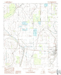
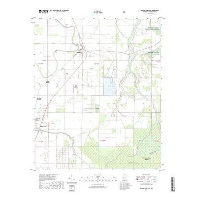
 2012 Rolling Fork East2012 Print · USGSCovers Rolling Fork, including Anguilla, Tisdell Landing, and other nearby areas
 - 2012 Map of Rolling Fork West, 2012 Print
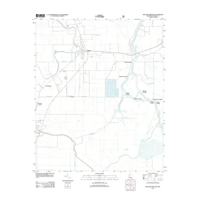
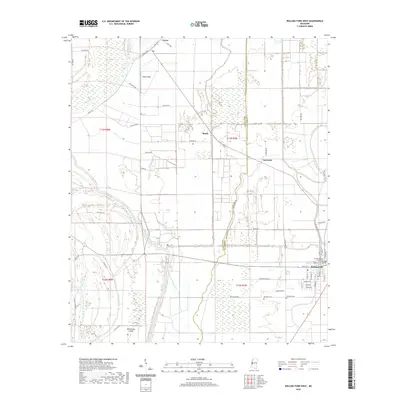
 2012 Rolling Fork West2012 Print · USGSCovers Rolling Fork, including Lorenzen, Booth, and other nearby areas
 - 2015 Map of Rolling Fork West, 2015 Print
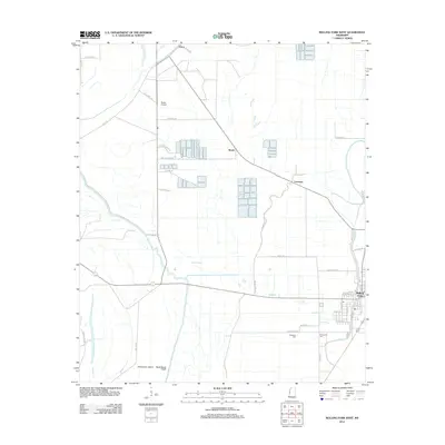
 2015 Rolling Fork West2015 Print · USGSCovers Rolling Fork, including Lorenzen, Booth, and other nearby areas
 - 2015 Map of Rolling Fork East, 2015 Print
 2015 Rolling Fork East2015 Print · USGSCovers Rolling Fork, including Anguilla, Tisdell Landing, and other nearby areas
 - 2018 Map of Rolling Fork West, 2018 Print
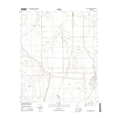
 2018 Rolling Fork West2018 Print · USGSCovers Rolling Fork, including Lorenzen, Booth, and other nearby areas
 - 2018 Map of Rolling Fork East, 2018 Print
 2018 Rolling Fork East2018 Print · USGSCovers Rolling Fork, including Anguilla, Tisdell Landing, and other nearby areas
 - 2020 Map of Rolling Fork West, 2020 Print
 2020 Rolling Fork West2020 Print · USGSCovers Rolling Fork, including Lorenzen, Booth, and other nearby areas
 - 2021 Map of Rolling Fork East, 2021 Print
 2021 Rolling Fork East2021 Print · USGSCovers Rolling Fork, including Anguilla, Tisdell Landing, and other nearby areas
 - 2024 Map of Rolling Fork East, 2024 Print
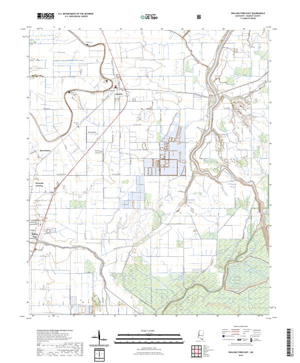 2024 Rolling Fork East2024 Print · USGSThis contemporary look at Sharkey County shows the intricate wetlands of the Mississippi Delta south of Anguilla. Genealogists and historians can locate rural landmarks like Cameta Cem, Mont Helena, and the forested reaches of the Delta National Forest.
 - 2024 Map of Rolling Fork West, 2024 Print
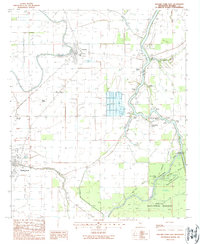
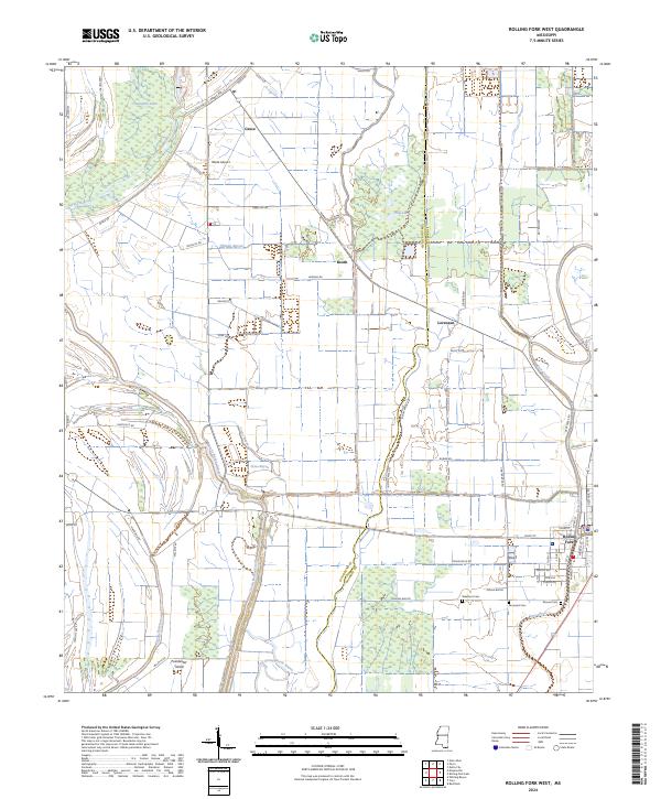 2024 Rolling Fork West2024 Print · USGSThe western outskirts of Rolling Fork and the surrounding Delta bayous are captured here in recent years. Researchers can trace family history at Elmwood Cem and Mound Cem or locate the rural crossroads of Grace and Booth.
End of results
Showing maps 1-19 of 19
Top cities near Rolling Fork
Frequently asked questions
- What are the different types of historical maps available for Rolling Fork?
- What is the oldest map of Rolling Fork?
- Where can I purchase historical maps of Rolling Fork for my home or office?
- Where can I download high-res historical maps of Rolling Fork?
- Are there historical topographic maps available for Rolling Fork?
- Is there historical aerial imagery available for Rolling Fork?
- Where are historical maps of Rolling Fork sourced from?