Old Maps of Moorhead, Mississippi for Academic Research
Study the evolution of Moorhead with 18 high-resolution historic maps. Whether you're teaching, researching, or modeling changes in land use, these maps provide essential visual documentation of urban, environmental, and geographic change.
- Analyze long-term change: Track patterns in development, transportation, and natural features.
- Ideal for environmental or urban studies: Support academic projects with primary historical map data.
- Use in the classroom or lab: Educators and researchers rely on these maps to bring historical context to life.
These maps are a powerful tool for teaching, research, and visualizing how Moorhead has changed over the decades.
Moorhead, MS maps
(18)- 1940 Map of Baird, 1942 Print
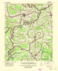 1940 Baird1942 Print · USGSThe Mississippi Delta's intricate river and rail economy is on full display during the early 1940s. Genealogists and historians can trace family roots through specific landmarks like Price School, Heard Ferry, and the many small settlements like Baird and Inverness.
 - 1953 Map of Greenwood, 1966 Print
 1953 Greenwood1966 Print · USGSThe Mississippi Delta in the mid-fifties is captured here as a thriving network of river towns, railroads, and oxbow lakes. Researchers can trace the legacy of the Illinois Central Railroad and locate landmarks like the State Penal Farm and Greenville Air Force Base.5 unique versions available
 - 1956 Map of Greenwood
 1956 Greenwood1956 Print · USGSThe Mississippi Delta in the mid-fifties is captured here during a period of significant military and agricultural activity. Researchers can trace the rail lines of the Illinois Central RR, find the Greenville Air Force Base, or locate the State Penal Farm.
 - 1961 Map of Mossy Lake, 1962 Print
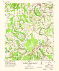 1961 Mossy Lake1962 Print · USGSLeflore County's intricate Delta wetlands and river bends are captured here in the early sixties, showing a landscape of scattered settlements and rural churches. Researchers can trace the Columbus and Greenville rail line through Itta Bena or locate local landmarks like McIntyre Cem and the Indian Mound.3 unique versions available
 - 1967 Map of Baird
 1967 Baird1967 Print · USGSThe Mississippi Delta's rail-and-river economy is on full display in the late 1960s, centered on the crossing of major lines at Indianola. Locate ancestral sites like Woodburn Plantation or country churches including Union Star Ch and Indian Bayou Ch.
 - 1983 Map of Colony Town, 1984 Print
 1983 Colony Town1984 Print · USGSThe Mississippi Delta's aquaculture and drainage systems are clearly visible in this early 1980s look at the Sunflower and Leflore county line. Genealogists and historians can locate Colony Town, Old Dominion, and local landmarks like Mt Maria Ch or the Robinson Cem.
 - 1984 Map of Indianola, 1985 Print
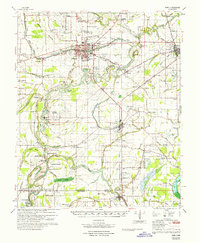
 1984 Indianola1985 Print · USGSThe Mississippi Delta of the mid-1980s reveals a landscape of fertile bottomlands shaped by the Sunflower River and Yazoo River. Researchers can trace the rail-and-river economy through landmarks like Saints College, the Leflore Cemetery, and the Columbus and Greenville Railway.
 - 1994 Map of Indianola
 1994 Indianola1994 Print · USGSThe Mississippi Delta's rich agricultural heartland is documented here in the mid-1990s, showing a landscape defined by meandering rivers and rail lines. Genealogists and historians can trace family roots in rural settlements like Nitta Yuma and Midnight or locate the sprawling Yazoo National Wildlife Refuge.
 - 2012 Map of Colony Town, 2012 Print
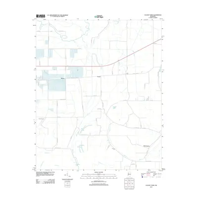 2012 Colony Town2012 Print · USGSCovers Moorhead, including Purnell, Mattoon, and other nearby areas
 - 2012 Map of Moorhead, 2012 Print
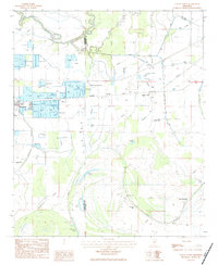
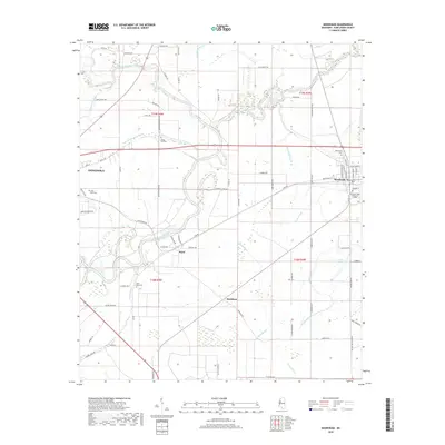
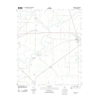 2012 Moorhead2012 Print · USGSCovers Moorhead, including Indianola, McDaniels, and other nearby areas
 - 2015 Map of Moorhead, 2015 Print
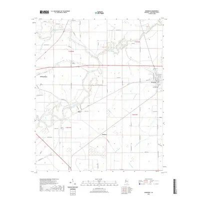
 2015 Moorhead2015 Print · USGSCovers Moorhead, including Indianola, McDaniels, and other nearby areas
 - 2015 Map of Colony Town, 2015 Print
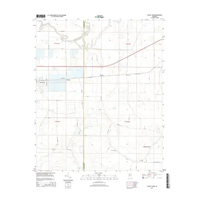 2015 Colony Town2015 Print · USGSCovers Moorhead, including Purnell, Mattoon, and other nearby areas
 - 2018 Map of Colony Town, 2018 Print
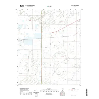
 2018 Colony Town2018 Print · USGSCovers Moorhead, including Purnell, Mattoon, and other nearby areas
 - 2018 Map of Moorhead, 2018 Print
 2018 Moorhead2018 Print · USGSCovers Moorhead, including Indianola, McDaniels, and other nearby areas
 - 2020 Map of Moorhead, 2020 Print
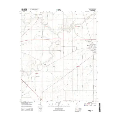
 2020 Moorhead2020 Print · USGSCovers Moorhead, including Indianola, McDaniels, and other nearby areas
 - 2020 Map of Colony Town, 2020 Print
 2020 Colony Town2020 Print · USGSCovers Moorhead, including Purnell, Mattoon, and other nearby areas
 - 2024 Map of Colony Town, 2024 Print
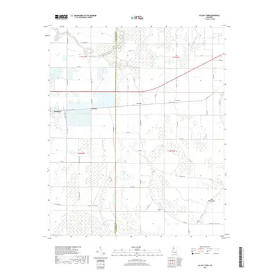
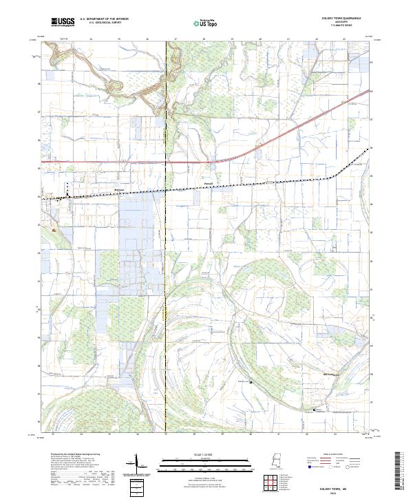 2024 Colony Town2024 Print · USGSThe Mississippi Delta lowlands in the early 2020s are a maze of ancient oxbows and rural crossings along the Sunflower and Leflore county line. Researchers can trace family history through sites like Robinson Cemetery and explore the geography of Mattoon, Jug Lake, and Old Dominion.
 - 2024 Map of Moorhead, 2024 Print
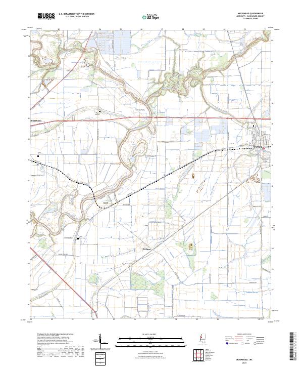 2024 Moorhead2024 Print · USGSMoorhead and the surrounding Delta bayous are captured in this modern survey. Genealogists and historians can locate Saint Paul's Cem, trace the Big Sunflower River, and explore the grounds of Mississippi Delta Community College.
End of results
Showing maps 1-18 of 18
Top cities near Moorhead
- Indianola historical maps
- Itta Bena historical maps
- Inverness historical maps
- Isola historical maps
- Sunflower historical maps
- Schlater historical maps
See more
Frequently asked questions
- What are the different types of historical maps available for Moorhead?
- What is the oldest map of Moorhead?
- Where can I purchase historical maps of Moorhead for my home or office?
- Where can I download high-res historical maps of Moorhead?
- Are there historical topographic maps available for Moorhead?
- Is there historical aerial imagery available for Moorhead?
- Where are historical maps of Moorhead sourced from?