Old Maps of Pinedale, Iuka for Academic Research
Study the evolution of Pinedale with 14 high-resolution historic maps. Whether you're teaching, researching, or modeling changes in land use, these maps provide essential visual documentation of urban, environmental, and geographic change.
- Analyze long-term change: Track patterns in development, transportation, and natural features.
- Ideal for environmental or urban studies: Support academic projects with primary historical map data.
- Use in the classroom or lab: Educators and researchers rely on these maps to bring historical context to life.
These maps are a powerful tool for teaching, research, and visualizing how Pinedale has changed over the decades.
Pinedale, Iuka maps
(14)- 1911 Map of Iuka
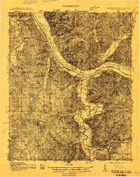 1911 Iuka1911 Print · USGSThe tri-state border region of Mississippi, Alabama, and Tennessee is captured here at the peak of the river-landing era. Genealogists can trace family connections through numerous river access points like Shellbank Landing and rural landmarks such as Salem Church and Jackson Ridge School.2 unique versions available
 - 1914 Map of Iuka
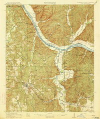 1914 Iuka1914 Print · USGSThe Tennessee River valley at the Mississippi and Alabama border was a busy network of landings and rail junctions in the early twentieth century. Researchers can trace riverfront life at Eastport Landing or locate rural family landmarks like Salem Church and Guthrie School.4 unique versions available
 - 1935 Map of Iuka
 1935 Iuka1935 Print · USGSTishomingo County is captured in the mid-1930s as the Tennessee Valley Authority begins modernizing the region. Genealogists and local historians can locate many rural landmarks, from Woodall Mtn to the Oak Grove Cem, Hopewell Sch, and Snowdown Ch.
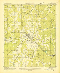
 - 1953 Map of Iuka, 1958 Print
 1953 Iuka1958 Print · USGSIuka and the rolling hills of Tishomingo County are captured here in the early 1950s, showing a landscape defined by the railroad and local mineral springs. Researchers can find many rural landmarks, from the John M Stone Memorial Marker to the Toenail Cem and Snowdown Sch.3 unique versions available
 - 1956 Map of Tupelo, 1967 Print
 1956 Tupelo1967 Print · USGSNortheast Mississippi and parts of Tennessee and Alabama are shown here during the mid-fifties, a time of major reservoir construction and forestry management. Researchers can trace the St Louis-San Francisco RR through Tupelo or locate historic sites like Tishomingo State Park and the University.2 unique versions available
 - 1958 Map of Tupelo
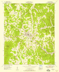
 1958 Tupelo1958 Print · USGSNortheast Mississippi and neighboring Alabama and Tennessee appear here during the late fifties as a region defined by new reservoirs and historic rail lines. Genealogists can trace family locations near Sardis Lake, Woodall Mountain, and the St Louis-San Francisco Ry.
 - 1984 Map of Corinth
 1984 Corinth1984 Print · USGSNortheast Mississippi and its borders with Alabama and Tennessee are captured here in the mid-1980s, showcasing a landscape of rail-connected towns and ridge-top settlements. Researchers can trace the path of the Natchez Trace Parkway or locate family-named landmarks near Biggersville, Kossuth, and the historic Tennessee Divide.
 - 1984 Map of Tupelo
 1984 Tupelo1984 Print · USGSNorth Mississippi in the 1980s is defined by its massive river basin reservoirs and the growing regional hubs of Tupelo and Oxford. Researchers can trace the legacy of the Pontotoc Ridge, find the University of Mississippi, and map early Interstate corridors near Sardis Lake.3 unique versions available
 - 1994 Map of Corinth
 1994 Corinth1994 Print · USGSNortheast Mississippi and the Tennessee borderlands are captured in the mid-1990s as the region's modern industrial and recreational landscape took shape. Genealogists and historians can trace rail-to-river connections through Corinth, the old courthouse at Jacinto, and the route of the Natchez Trace Parkway.
 - 2012 Map of Iuka, 2012 Print
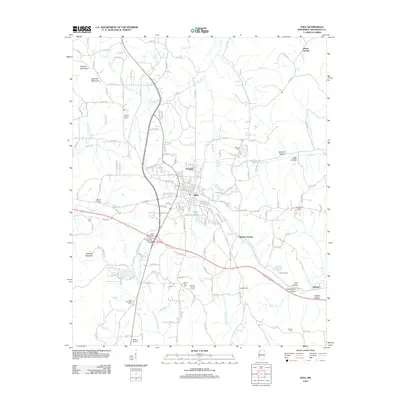 2012 Iuka2012 Print · USGSCovers Pinedale, including Iuka, Bacon Springs, and other nearby areas
 - 2015 Map of Iuka, 2015 Print
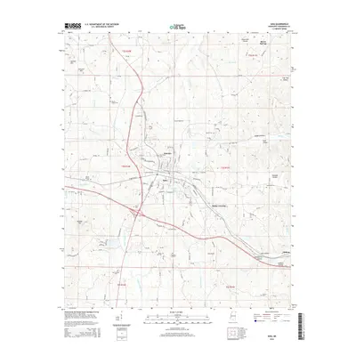 2015 Iuka2015 Print · USGSCovers Pinedale, including Iuka, Bacon Springs, and other nearby areas
 - 2018 Map of Iuka, 2018 Print
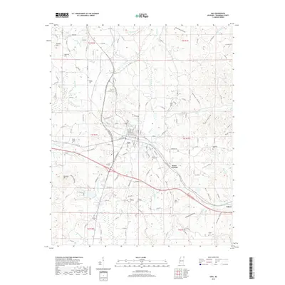 2018 Iuka2018 Print · USGSCovers Pinedale, including Iuka, Bacon Springs, and other nearby areas
 - 2020 Map of Iuka, 2020 Print
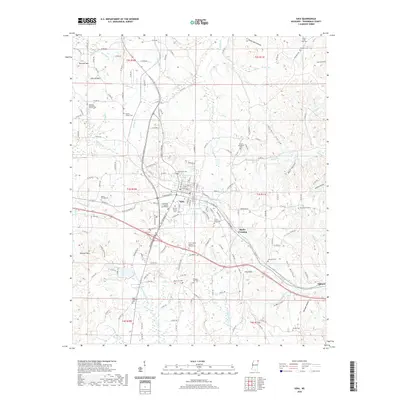 2020 Iuka2020 Print · USGSCovers Pinedale, including Iuka, Bacon Springs, and other nearby areas
 - 2024 Map of Iuka, 2024 Print
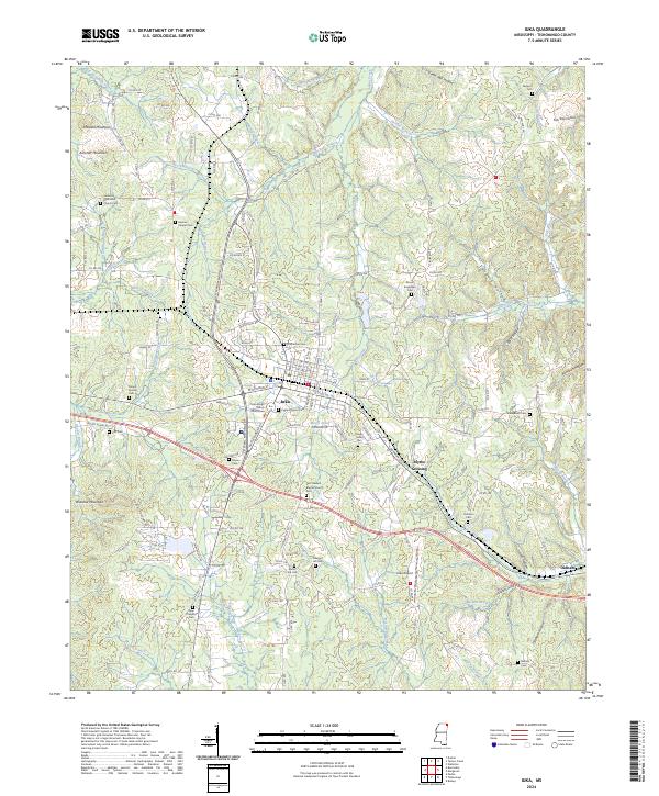 2024 Iuka2024 Print · USGSTishomingo County in the modern era is revealed here as a landscape where the civic center of Iuka meets the highest point in Mississippi. Genealogists and local researchers can pinpoint family landmarks from Woodall Mountain to Eastport Cem and Moores Chapel Cem.
End of results
Showing maps 1-14 of 14
Top cities near Pinedale
- Iuka historical maps
- Burnsville historical maps
- Cherokee historical maps
- Michie historical maps
- Tishomingo historical maps
- Waterloo historical maps
See more
Frequently asked questions
- What are the different types of historical maps available for Pinedale?
- What is the oldest map of Pinedale?
- Where can I purchase historical maps of Pinedale for my home or office?
- Where can I download high-res historical maps of Pinedale?
- Are there historical topographic maps available for Pinedale?
- Is there historical aerial imagery available for Pinedale?
- Where are historical maps of Pinedale sourced from?