Old Maps of Sherwood Forest, Mississippi
Explore 12 old maps of Sherwood Forest, spanning from 1939 to today. These high-resolution historic maps reveal how streets, neighborhoods, landmarks, and natural features evolved over time — perfect for genealogy, metal detecting, research, and local history exploration.
What you can do with these maps:
- See how Sherwood Forest changed over time: Compare historical maps to modern-day views to trace roads, homesites, rail lines & more.
- View detailed metadata: Each map includes creators, publishers, year, scale, and archive source.
- Overlay maps with satellite & LiDAR: Visualize the past alongside modern tools to explore terrain & human change.
- Trusted historical sources: Maps sourced from the USGS, Library of Congress, and other archives.
- Access maps your way: View online, download high-res files, or order prints for personal or research use.
Start exploring old maps of Sherwood Forest to uncover forgotten places, hidden landmarks, and the deep history beneath your feet.
Sherwood Forest, MS maps
(12)- 1939 Map of Yokena, 1942 Print
 1939 Yokena1942 Print · USGSThe Mississippi riverfront south of Vicksburg was a complex landscape of engineering and rural community just before the Second World War. Researchers can trace the Yazoo and Mississippi Valley RR and find local landmarks like Rocky Springs and the Hardscrabble Sch.2 unique versions available
 - 1955 Map of Jackson
 1955 Jackson1955 Print · USGSThe Lower Mississippi Valley at the middle of the century reveals a landscape of deep river meanders and growing rail hubs. Genealogists and historians can trace the mid-century footprints of Vicksburg National Military Park, old river landings at Port Gibson, and the rail corridors of the Illinois Central Railroad.3 unique versions available
 - 1961 Map of Jackson
 1961 Jackson1961 Print · USGSThe Lower Mississippi Delta and the state capital area are captured here during the post-war era of infrastructure expansion. Researchers can trace the complex river oxbows and rail lines connecting Vicksburg, Yazoo City, and the Illinois Central Railroad network.
 - 1962 Map of Jackson
 1962 Jackson1962 Print · USGSThe Mississippi Delta and the state capital region are mapped here in the early sixties, showing a landscape defined by the great river and the growing city of JACKSON. Genealogists can trace family roots through numerous landmarks like Cedar Hill Cem, rural stops on the Illinois Central RR, and historic sites like Champion Hill.2 unique versions available
 - 1963 Map of Big Black, 1964 Print
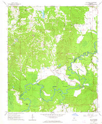 1963 Big Black1964 Print · USGSThe Big Black River bottomlands of Warren and Claiborne counties are captured here in the early sixties, showing a landscape shaped by shifting waters. Researchers can trace rural life through landmarks like Rose Hill Ch, the Indian Treaty Boundary, and Fishers Bridge.2 unique versions available
 - 1966 Map of Yokena, 1968 Print
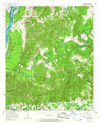 1966 Yokena1968 Print · USGSWarren and Claiborne counties come alive in the mid-1960s, showing a riverfront landscape defined by the winding Big Black River. Genealogists can trace family names and small congregations at Morning Star Ch, Beulah Cem, and the historic settlement of Rocky Springs.2 unique versions available
 - 1984 Map of Jackson
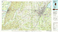 1984 Jackson1984 Print · USGSCentral Mississippi in the mid-eighties shows a landscape defined by the growing suburbs of Jackson and the riverfront legacy of Vicksburg. Researchers can trace the Natchez Trace Parkway or locate local landmarks like Utica College and Mississippi State Hospital.
 - 2012 Map of Big Black, 2012 Print
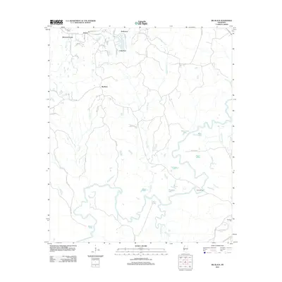 2012 Big Black2012 Print · USGSThe Big Black River basin reveals its complex network of oxbow lakes and sloughs south of Lake Park in the early 2010s. Researchers can trace the winding Big Black River to find Fishers Bridge, Henderson Cem, and the historic corridor of the Natchez Trace Pkwy.
 - 2015 Map of Big Black, 2015 Print
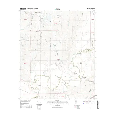 2015 Big Black2015 Print · USGSWarren and Claiborne counties are depicted during a period of transition as mid-century residential developments met the ancient floodplains of the Big Black River. Genealogists and local historians can locate Henderson Cem, the crossing at Fishers Bridge, and the early layouts of Sherwood Forest.
 - 2018 Map of Big Black, 2018 Print
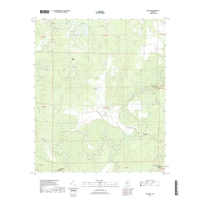 2018 Big Black2018 Print · USGSThe Warren and Claiborne county line follows the winding course of the river in this recent survey of the Mississippi interior. Local historians can trace the wetland landscape of Campbell Swamp and locate landmarks like Fishers Bridge and Henderson Cem.
 - 2020 Map of Big Black, 2020 Print
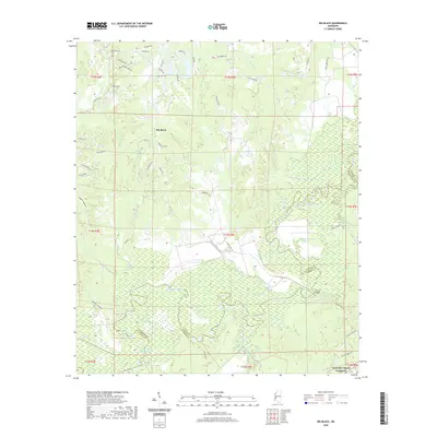 2020 Big Black2020 Print · USGSThe Big Black River bottomlands are captured here in the early twenty-first century as they wind through the Warren County line. Researchers can trace the complex hydrology of the river basin, identifying family landmarks like Fishers Bridge and the elevations of King Arthurs Ridge.
 - 2024 Map of Big Black, 2024 Print
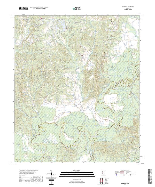 2024 Big Black2024 Print · USGSThe Big Black River floodplain in Warren and Claiborne counties is shown here as a dense network of oxbow lakes and historical river crossings. Researchers can trace family-named landmarks like Henderson Cem and old routes to Halls Ferry or Horners Ferry along the winding riverbanks.
End of results
Showing maps 1-12 of 12
Top cities near Sherwood Forest
Frequently asked questions
- What are the different types of historical maps available for Sherwood Forest?
- What is the oldest map of Sherwood Forest?
- Where can I purchase historical maps of Sherwood Forest for my home or office?
- Where can I download high-res historical maps of Sherwood Forest?
- Are there historical topographic maps available for Sherwood Forest?
- Is there historical aerial imagery available for Sherwood Forest?
- Where are historical maps of Sherwood Forest sourced from?