Old Maps of Leota, Mississippi for Hiking & Exploration
Hike through history with 12 historic maps of Leota. Explore old trails, ghost towns, and forgotten backroads — perfect for outdoor adventurers and local explorers.
- Rediscover forgotten places: Map out old mining camps, roads, and footpaths that no longer exist on modern maps.
- Layer with modern tools: Combine with LiDAR or satellite views to plan hikes through historical terrain.
- Made for exploration: Popular among hikers, overlanders, and local history lovers.
Use these maps to find adventure and explore the hidden past of Leota.
Leota, MS maps
(12)- 1939 Map of Readland, 1942 Print
 1939 Readland1942 Print · USGSThe tri-state delta country comes alive in this late Depression-era survey of the Mississippi riverfront. Genealogists and historians can trace numerous rural congregations and landings, from the Graymound Cem to Lakeport Ldg and Daniels Chapel Shiloh Ch.3 unique versions available
 - 1953 Map of Greenwood, 1966 Print
 1953 Greenwood1966 Print · USGSThe Mississippi Delta in the mid-fifties is captured here as a thriving network of river towns, railroads, and oxbow lakes. Researchers can trace the legacy of the Illinois Central Railroad and locate landmarks like the State Penal Farm and Greenville Air Force Base.5 unique versions available
 - 1956 Map of Greenwood
 1956 Greenwood1956 Print · USGSThe Mississippi Delta in the mid-fifties is captured here during a period of significant military and agricultural activity. Researchers can trace the rail lines of the Illinois Central RR, find the Greenville Air Force Base, or locate the State Penal Farm.
 - 1970 Map of Glen Allan, 1972 Print
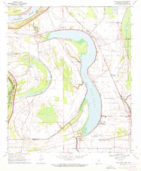 1970 Glen Allan1972 Print · USGSThe Mississippi Delta in the early seventies reveals a landscape defined by massive oxbow lakes and river bends. Genealogists and local historians can trace family roots through sites like Glen Allan, Magnolia Ch Cem, and the ancient Indian Mounds near the wildlife refuge.
 - 1972 Map of Readland
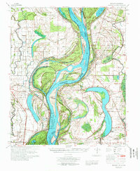 1972 Readland1972 Print · USGSThe Arkansas and Mississippi borderlands come to life in the early seventies, showcasing a landscape of massive oxbow lakes and massive river cutoffs. Researchers can locate family landmarks such as Little Sister Ch, Lakeport Cem, and the Indian Mounds near Harwood.
 - 1986 Map of Crossett
 1986 Crossett1986 Print · USGSSoutheast Arkansas and the Mississippi Delta meet in the mid-1980s, revealing a landscape of rail-linked towns and river bottomlands. Researchers can trace the Missouri Pacific line through Hamburg and Parkdale or locate Millers Chapel and Winterville Mounds State Park.2 unique versions available
 - 2011 Map of Glen Allan, 2011 Print
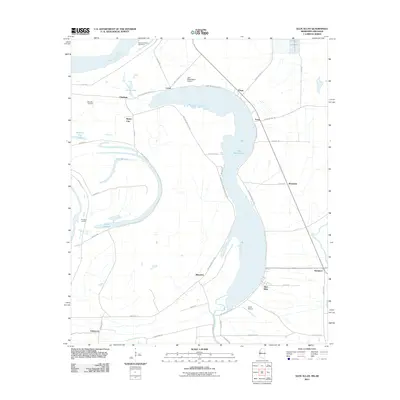 2011 Glen Allan2011 Print · USGSThe Mississippi Delta's oxbow country is captured in the early 2010s, showing a landscape defined by the river's historic shifts. Genealogists and historians can locate family landmarks like Metcalfe Cemetery and trace old river landings such as Princeton Landing near Chatham.
 - 2012 Map of Glen Allan, 2012 Print
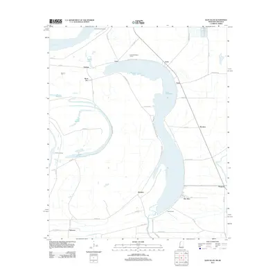 2012 Glen Allan2012 Print · USGSThe Mississippi Delta landscape of Washington County comes into focus here just after the turn of the millennium. Researchers can trace rural settlement patterns near Glen Allan and locate historic landmarks like Metcalfe Cem and Princeton Landing.
 - 2015 Map of Glen Allan, 2015 Print
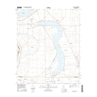 2015 Glen Allan2015 Print · USGSThe Mississippi Delta's oxbow country is captured here in the mid-2010s, centered on the sweeping arc of Lake Washington. Genealogists and local historians can trace the roads connecting small communities like Chatham, Glen Allan, and Byrne City near the Mississippi River.
 - 2018 Map of Glen Allan, 2018 Print
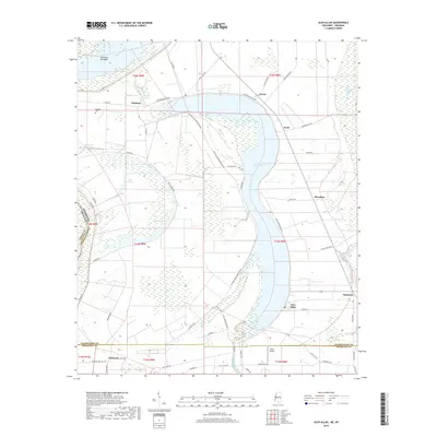 2018 Glen Allan2018 Print · USGSThe Mississippi Delta and its characteristic oxbow lakes are captured here in the late twenty-teens. Researchers can trace family-named landmarks and local settlements like Chatham, Marathon, and the Metcalfe Cem along the shores of Lake Washington.
 - 2020 Map of Glen Allan, 2020 Print
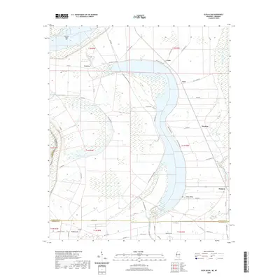 2020 Glen Allan2020 Print · USGSThe Mississippi Delta's oxbow country is preserved here in the late twenty-teens, showing the agricultural heart of Washington County. Researchers can trace family sites and local landmarks near Chatham, Glen Allan, and the shores of Lake Washington.
 - 2024 Map of Glen Allan, 2024 Print
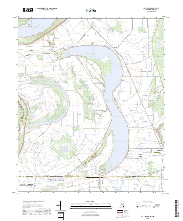 2024 Glen Allan2024 Print · USGSModern Washington County settlements like Glen Allan and Chatham are captured here within the historic oxbow terrain of the Mississippi Delta. Genealogists and researchers can trace local landmarks such as Metcalfe Cem and the small hamlets of Foote and Erwin.
End of results
Showing maps 1-12 of 12
Top cities near Leota
- Hollandale historical maps
- Eudora historical maps
- Rolling Fork historical maps
- Lake Village historical maps
- Mayersville historical maps
- Arcola historical maps
See more
Frequently asked questions
- What are the different types of historical maps available for Leota?
- What is the oldest map of Leota?
- Where can I purchase historical maps of Leota for my home or office?
- Where can I download high-res historical maps of Leota?
- Are there historical topographic maps available for Leota?
- Is there historical aerial imagery available for Leota?
- Where are historical maps of Leota sourced from?