2000s (21st Century) Maps of Waynesboro, Mississippi
Explore 10 historic maps of Waynesboro from the 2000s (21st Century). These maps offer a rare glimpse into what life looked like during the 2000s — showing old roads, neighborhoods, homes, and landmarks that have changed or disappeared over time.
Whether you're researching your family's past, planning a metal detecting trip, or studying how Waynesboro's landscape evolved across the 2000s, these high-resolution maps are a powerful tool for exploring the history of this region.
- Focus on a specific era: All maps on this page are from the 2000s, giving you a focused view of this time period.
- See what’s changed: Compare century-old streets, trails, and buildings to today's modern landscape using overlays and satellite layers.
- Research with precision: Use these maps for genealogy, historical research, land use analysis, or educational projects.
- View, download, or print: Maps are fully viewable online in high resolution, and can be downloaded or printed for your own records.
Start exploring Waynesboro's history through authentic maps from the 2000s. This is your window into the past.
Waynesboro, MS maps
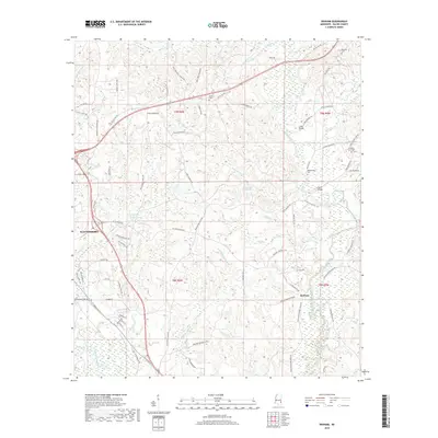
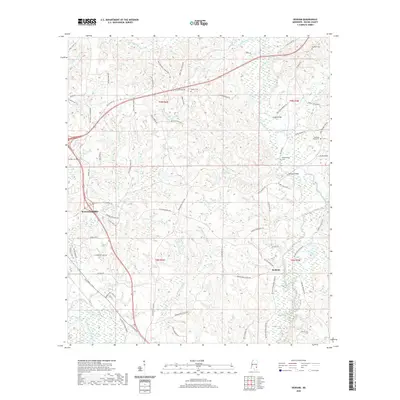
(10)- 2012 Map of Denham, 2012 Print
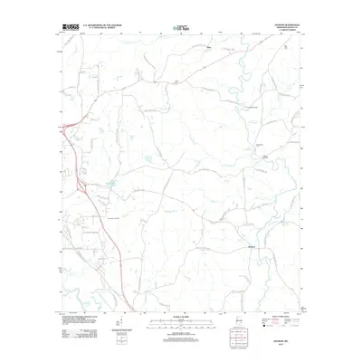 2012 Denham2012 Print · USGSCovers Waynesboro, including Denham, Tokio, and other nearby areas
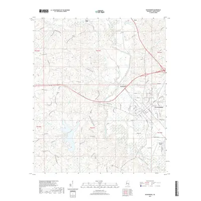
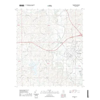
 - 2012 Map of Waynesboro, 2012 Print
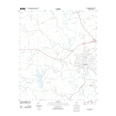 2012 Waynesboro2012 Print · USGSCovers Waynesboro, including Woodwards, Boice, and other nearby areas
 - 2015 Map of Denham, 2015 Print
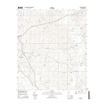 2015 Denham2015 Print · USGSCovers Waynesboro, including Denham, Tokio, and other nearby areas
 - 2015 Map of Waynesboro, 2015 Print
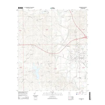 2015 Waynesboro2015 Print · USGSCovers Waynesboro, including Woodwards, Boice, and other nearby areas
 - 2018 Map of Denham, 2018 Print
 2018 Denham2018 Print · USGSCovers Waynesboro, including Denham, Tokio, and other nearby areas
 - 2018 Map of Waynesboro, 2018 Print
 2018 Waynesboro2018 Print · USGSCovers Waynesboro, including Woodwards, Boice, and other nearby areas
 - 2020 Map of Waynesboro, 2020 Print
 2020 Waynesboro2020 Print · USGSCovers Waynesboro, including Woodwards, Boice, and other nearby areas
 - 2020 Map of Denham, 2020 Print
 2020 Denham2020 Print · USGSCovers Waynesboro, including Denham, Tokio, and other nearby areas
 - 2024 Map of Denham, 2024 Print
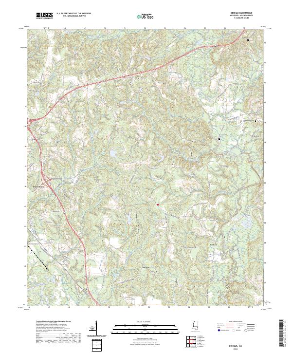 2024 Denham2024 Print · USGSWayne County’s rural landscape comes into focus in the early 2020s, centered on the communities of Waynesboro and Denham. Genealogists can trace family-named roads and locate several local burial grounds, including Big Rock Cem and Pleasant Grove Cem.
 - 2024 Map of Waynesboro, 2024 Print
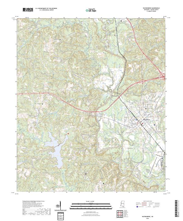 2024 Waynesboro2024 Print · USGSWaynesboro and the surrounding Wayne County countryside are captured here in a moment of modern continuity with the past. Researchers can trace family homesteads and local landmarks near the Chickasawhay River, from the Wayne County Courthouse to rural sites like Davis Ferry and Yellow Creek Church.
End of results
Showing maps 1-10 of 10
Top cities near Waynesboro
Frequently asked questions
- What are the different types of historical maps available for Waynesboro?
- What is the oldest map of Waynesboro?
- Where can I purchase historical maps of Waynesboro for my home or office?
- Where can I download high-res historical maps of Waynesboro?
- Are there historical topographic maps available for Waynesboro?
- Is there historical aerial imagery available for Waynesboro?
- Where are historical maps of Waynesboro sourced from?