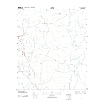
2012 Map of Denham
USGS Topo · Published 2012About this map
Buckatunna Creek winds through the eastern portion of this Wayne County landscape, creating a complex drainage network that includes Turkey Creek and Mill Creek. The settlement of Denham serves as a local focal point in the southeast, while the Winchester Oil Field underscores the area's industrial importance during this era. Rural life is defined by a dense network of family-named roads, such as Jimmy Ramey Road and Henry Walker Road, which connect various homesteads to community landmarks like Philadelphus Cemetery and Eudora Cemetery. The southwestern corner is touched by the Chickasawhay River, while northern waters like Coldwater Creek flow near the community of Tokio. This topography reflects a late 20th-century transition, where traditional timber and creek-side land use exists alongside active petroleum extraction and modern infrastructure like Waynesboro Lake.
Find a feature on this map
77 named features on this map. Tap any name to fly to it.
Don’t see what you’re looking for? This feature index may not catch every label — zoom into the map to look around manually.
Map Details
Editions of this 2012 Denham Map
This is the sole edition of this map. No revisions or reprints were ever made.
Other maps of this area

1953 · Hattiesburg
USGS Topo · 1:250,000

1958 · Hattiesburg
USGS Topo · 1:250,000

1964 · Denham
USGS Topo · 1:24,000

1964 · Clara
USGS Topo · 1:24,000

1964 · Waynesboro
USGS Topo · 1:24,000

1964 · Shubuta
USGS Topo · 1:24,000

1964 · Buckatunna
USGS Topo · 1:24,000

1964 · Matherville
USGS Topo · 1:24,000

1974 · Copeland
USGS Topo · 1:24,000

1974 · Isney
USGS Topo · 1:24,000