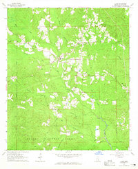
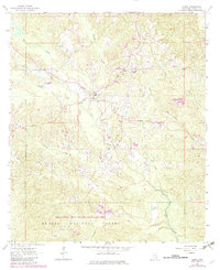
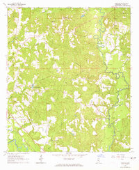
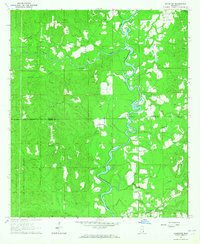
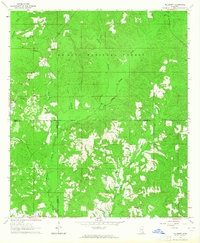
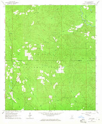
1964 Map of Clara
USGS Topo · Published 1965About this map
Clara stands as the central settlement in this portion of Wayne County during the mid-1960s, surrounded by a complex network of waterways that define the local topography. The landscape is characterized by the expansive De Soto National Forest, which covers much of the southern and western portions of the quadrangle. Local life is anchored by community landmarks such as Clara Church and Big Creek Church, while the presence of Mills Cemetery and Pittman Cemetery provides specific points of interest for genealogical research.
Find a feature on this map
19 named features on this map. Tap any name to fly to it.
Don’t see what you’re looking for? This feature index may not catch every label — zoom into the map to look around manually.
Map Details
Editions of this 1964 Clara Map
2 editions found
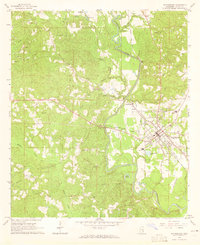
Other maps of this area

1953 · Hattiesburg
USGS Topo · 1:250,000

1958 · Hattiesburg
USGS Topo · 1:250,000
1964 · Denham
USGS Topo · 1:24,000
1964 · Knobtown
USGS Topo · 1:24,000
1964 · Mulberry
USGS Topo · 1:24,000
1964 · Waynesboro
USGS Topo · 1:24,000
1964 · Whistler
USGS Topo · 1:24,000
1964 · Buckatunna
USGS Topo · 1:24,000
1964 · Piave
USGS Topo · 1:24,000
1984 · Citronelle
USGS Topo · 1:100,000