
1964 Map of Buckatunna
USGS Topo · Published 1965About this map
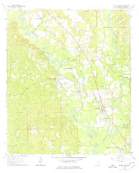
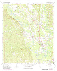
The Chickasawhay River snakes through the heart of Wayne County, defining a landscape where river bends and rail lines dictated early Mississippi settlement patterns. In the mid-1960s, the Gulf Mobile and Ohio railroad corridor serves as the primary spine for local communities, linking Winchester, Robinsons Junction, and the central hub of Buckatunna. This area is particularly rich in rural landmarks, including the Buckatunna Sch and a series of neighborhood spiritual centers such as Philadelphia Ch and Sweet Pilgrim Ch.
Find a feature on this map
32 named features on this map. Tap any name to fly to it.
Don’t see what you’re looking for? This feature index may not catch every label — zoom into the map to look around manually.
Map Details
Editions of this 1964 Buckatunna Map
3 editions found
Other maps of this area

1953 · Hattiesburg
USGS Topo · 1:250,000

1958 · Hattiesburg
USGS Topo · 1:250,000

1964 · Denham
USGS Topo · 1:24,000

1964 · Knobtown
USGS Topo · 1:24,000

1964 · Clara
USGS Topo · 1:24,000

1964 · Waynesboro
USGS Topo · 1:24,000

1964 · Piave
USGS Topo · 1:24,000

1974 · State Line
USGS Topo · 1:24,000

1974 · Copeland
USGS Topo · 1:24,000
1974 · Aquilla
USGS Topo · 1:24,000