1964 Map of Denham
USGS Topo · Published 1965About this map
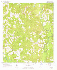
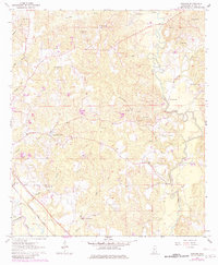
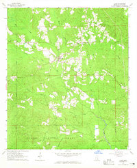
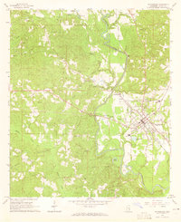
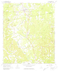
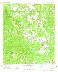
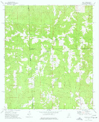
Bucatunna Creek winds through the heart of Wayne County, defining a landscape of wooded ridges and creek bottoms in this mid-1960s snapshot of southeastern Mississippi. The small settlement of Denham serves as a local hub near the southern edge of the map, situated amidst a dense network of country churches that speak to the area's rural social fabric. From Holly Bush Ch and Philadelphia Ch to the East Shady Grove Ch, these landmarks remain critical for family historians tracing genealogy in the region.
Find a feature on this map
26 named features on this map. Tap any name to fly to it.
Don’t see what you’re looking for? This feature index may not catch every label — zoom into the map to look around manually.
Map Details
Editions of this 1964 Denham Map
2 editions found
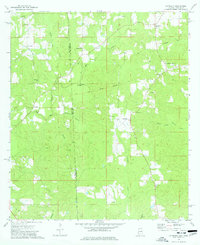
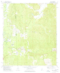
Other maps of this area

1953 · Hattiesburg
USGS Topo · 1:250,000

1958 · Hattiesburg
USGS Topo · 1:250,000
1964 · Clara
USGS Topo · 1:24,000
1964 · Waynesboro
USGS Topo · 1:24,000
1964 · Shubuta
USGS Topo · 1:24,000
1964 · Buckatunna
USGS Topo · 1:24,000

1964 · Matherville
USGS Topo · 1:24,000
1974 · Copeland
USGS Topo · 1:24,000
1974 · Isney
USGS Topo · 1:24,000
1974 · Aquilla
USGS Topo · 1:24,000