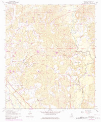
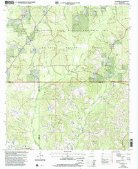
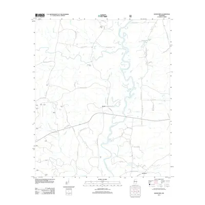
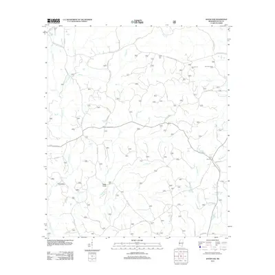
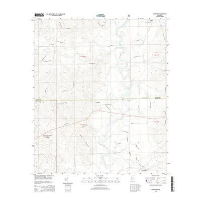
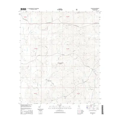
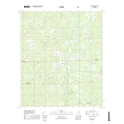
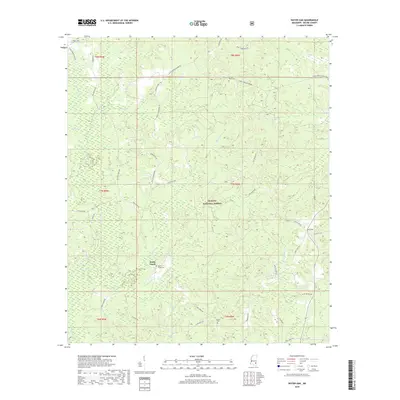
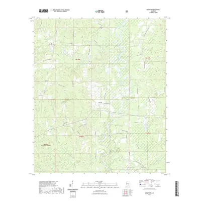
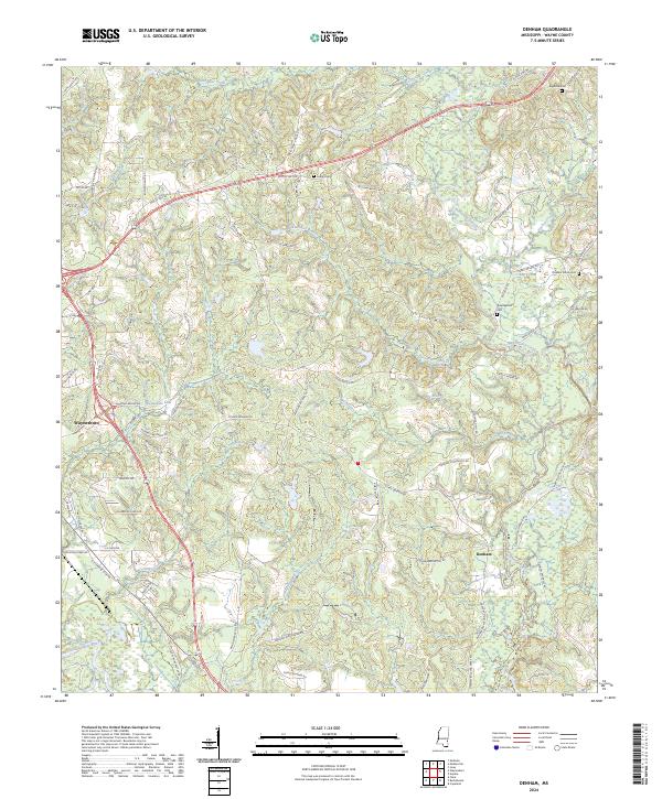
1964 Map of Denham
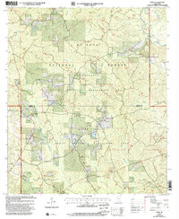
USGS Topo · Published 1982About this map
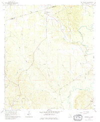
Chickasawhay River and Buckatunna Creek anchor the landscape of this Wayne County survey, which documents the rural character of eastern Mississippi in the mid-1960s. The village of Denham serves as a local crossroads near the confluence of several tributaries, including Big Branch Mill Creek and Langs Creek. The map provides a detailed look at the social fabric of the era, recording numerous small country churches such as East Shady Grove, Philadelphus Ch, and New St Paul Ch, along with the Eudora Cem burial ground.
Find a feature on this map
34 named features on this map. Tap any name to fly to it.
Don’t see what you’re looking for? This feature index may not catch every label — zoom into the map to look around manually.
Map Details
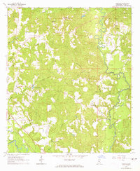
Editions of this 1964 Denham Map
2 editions found
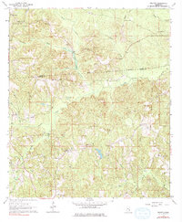
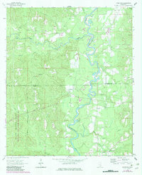
Historical Maps of Waynesboro Through Time
49 maps found
1964 Denham
Wayne County, MS
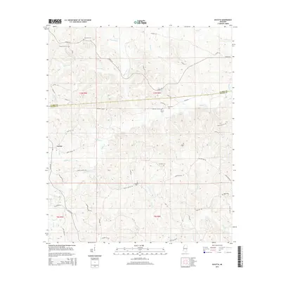
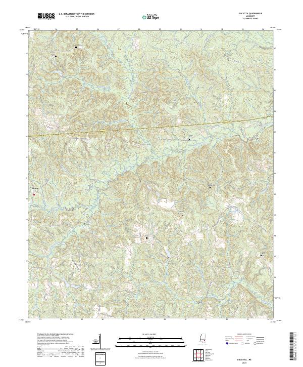
1964 Eucutta
Wayne County, MS
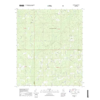
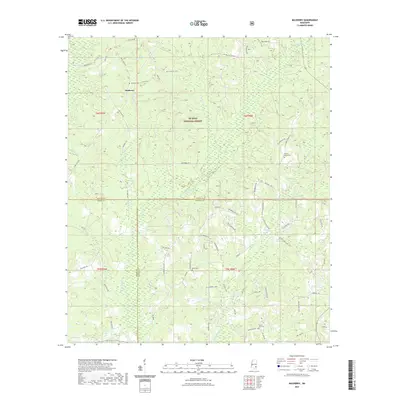
1964 Knobtown
Wayne County, MS
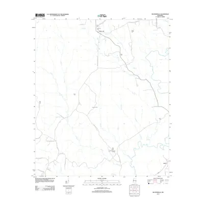
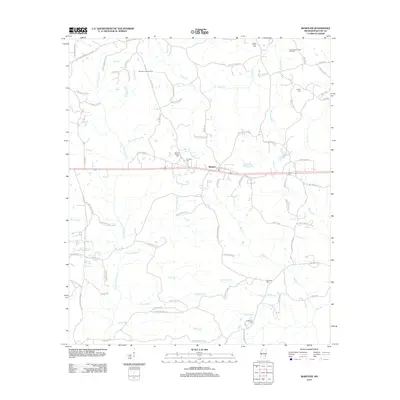
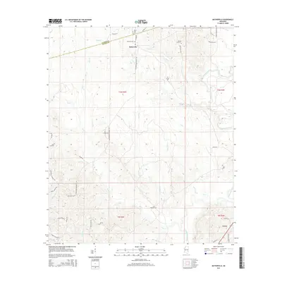
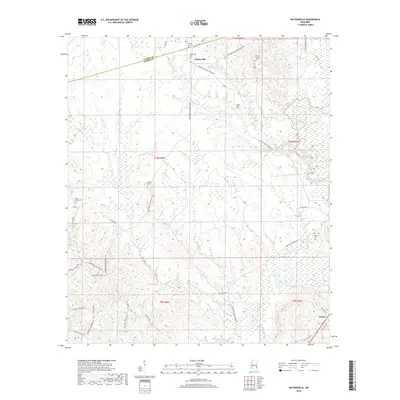
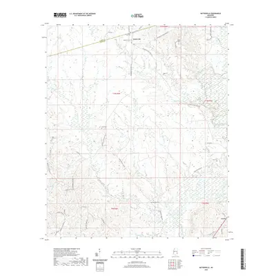
1964 Matherville
Wayne County, MS
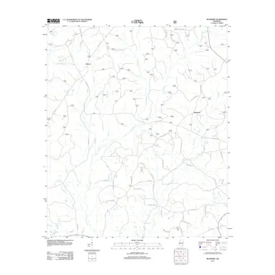
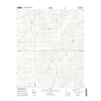
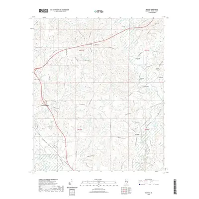
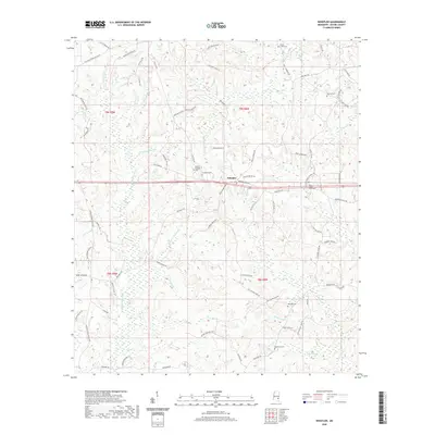
1964 Mulberry
Wayne County, MS
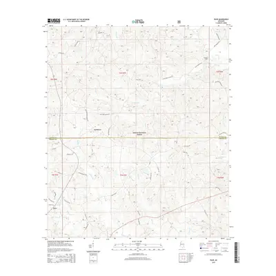
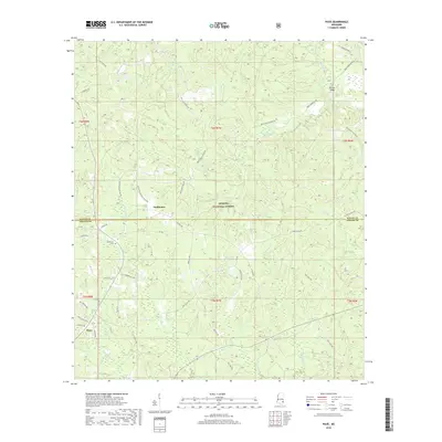
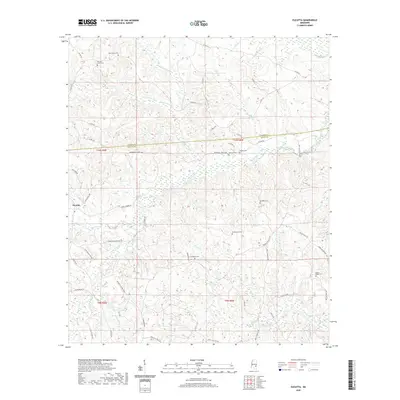
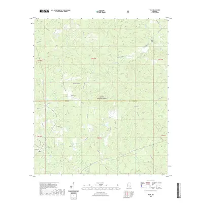
1964 Piave
Wayne County, MS
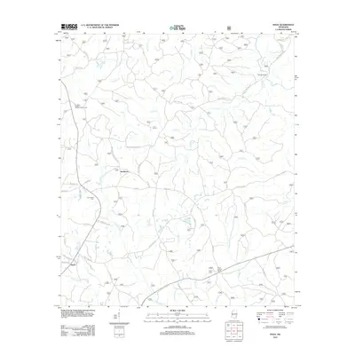
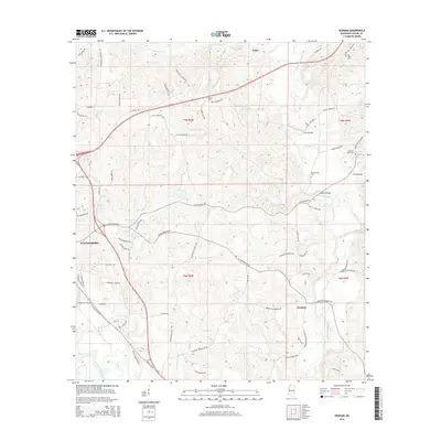
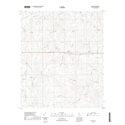
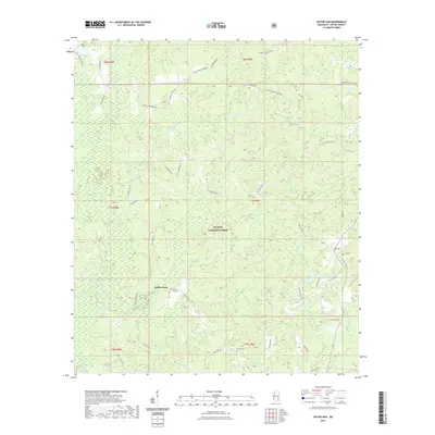
1964 Whistler
Wayne County, MS
2000 Mulberry
Wayne County, MS
2000 Piave
Wayne County, MS
2012 Denham
Wayne County, MS
2012 Eucutta
Wayne County, MS
2012 Knobtown
Wayne County, MS
2012 Matherville
Wayne County, MS
2012 Mulberry
Wayne County, MS
2012 Piave
Wayne County, MS
2012 Water Oak
Wayne County, MS
2012 Whistler
Wayne County, MS
2015 Denham
Wayne County, MS
2015 Eucutta
Wayne County, MS
2015 Knobtown
Wayne County, MS
2015 Matherville
Wayne County, MS
2015 Mulberry
Wayne County, MS
2015 Piave
Wayne County, MS
2015 Water Oak
Wayne County, MS
2015 Whistler
Wayne County, MS
2018 Denham
Wayne County, MS
2018 Eucutta
Wayne County, MS
2018 Knobtown
Wayne County, MS
2018 Matherville
Wayne County, MS
2018 Mulberry
Wayne County, MS
2018 Piave
Wayne County, MS
2018 Water Oak
Wayne County, MS
2018 Whistler
Wayne County, MS
2020 Denham
Wayne County, MS
2020 Eucutta
Wayne County, MS
2020 Matherville
Wayne County, MS
2020 Whistler
Wayne County, MS
2021 Knobtown
Wayne County, MS
2021 Mulberry
Wayne County, MS
2021 Piave
Wayne County, MS
2021 Water Oak
Wayne County, MS
2024 Denham
Wayne County, MS
2024 Eucutta
Wayne County, MS
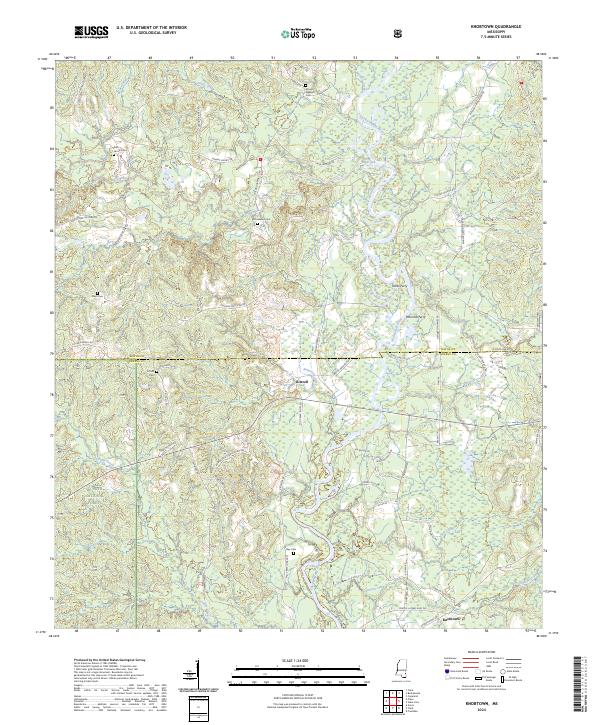
2024 Knobtown
Wayne County, MS
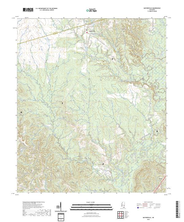
2024 Matherville
Wayne County, MS
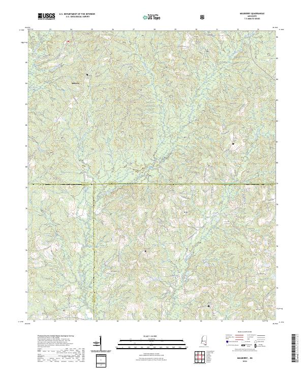
2024 Mulberry
Wayne County, MS
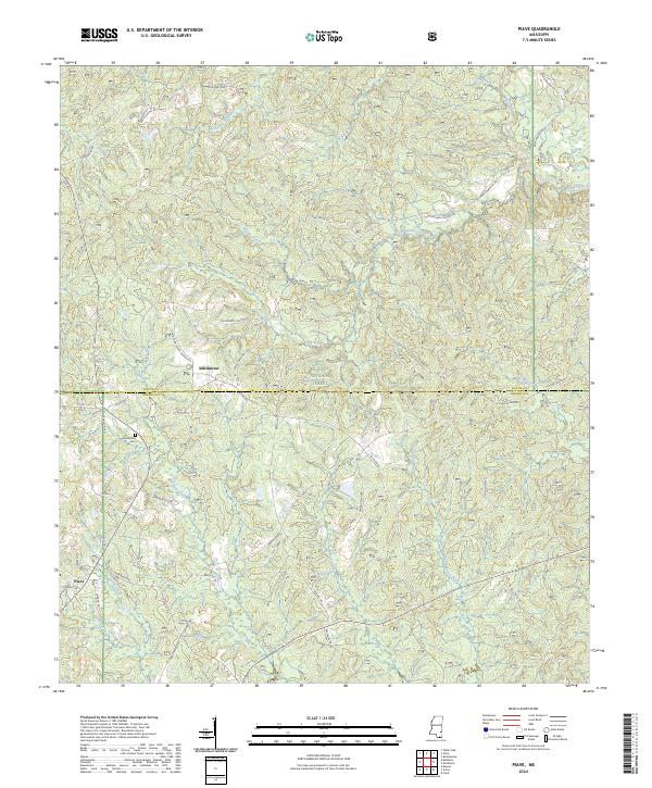
2024 Piave
Wayne County, MS
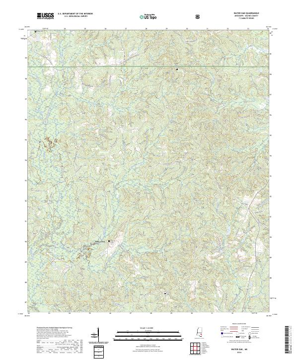
2024 Water Oak
Wayne County, MS
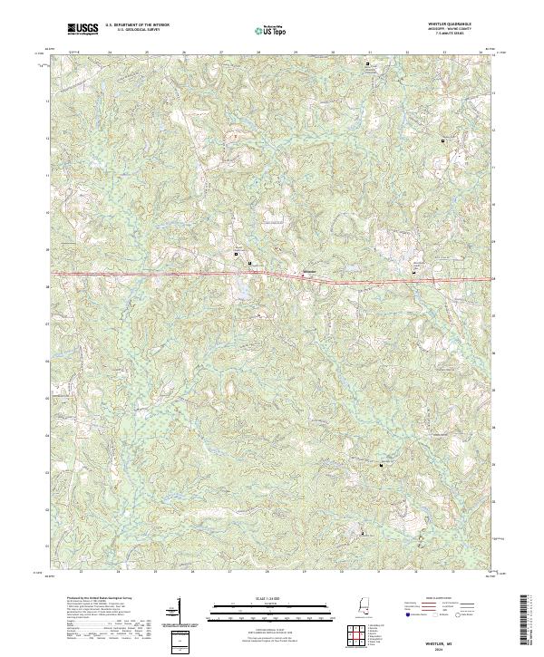
2024 Whistler
Wayne County, MS