
1974 Map of Isney
USGS Topo · Published 1977About this map
The borderlands of Alabama and Mississippi define this landscape, where the rural settlements of Isney and Emory sit near the junction of Choctaw and Wayne counties. The terrain is deeply etched by a complex drainage system including Buckatunna Creek, Lamar Mill Creek, and the curiously named Puss Cuss Creek. The map records a transition from earlier industrial infrastructure to a more quiet, agricultural character, most notably evidenced by the Old Railroad Grade running through the western section. Local genealogy is well-preserved through numerous small community centers and burial grounds, such as Cem Coyt Ch, Gin Creek Ch, and the Old Bethel Cem. Scattered Sandpit operations indicate the local extractive activity that persisted alongside the area's many named branches and creeks.
Find a feature on this map
36 named features on this map. Tap any name to fly to it.
Don’t see what you’re looking for? This feature index may not catch every label — zoom into the map to look around manually.
Map Details
Editions of this 1974 Isney Map
This is the sole edition of this map. No revisions or reprints were ever made.
Other maps of this area

1953 · Hattiesburg
USGS Topo · 1:250,000

1958 · Hattiesburg
USGS Topo · 1:250,000

1964 · Carmichael
USGS Topo · 1:24,000

1964 · Denham
USGS Topo · 1:24,000

1964 · Matherville
USGS Topo · 1:24,000

1974 · Melvin
USGS Topo · 1:24,000

1974 · Millry North
USGS Topo · 1:24,000

1974 · Silas
USGS Topo · 1:24,000
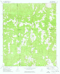
1974 · Aquilla
USGS Topo · 1:24,000
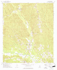
1974 · Toxey
USGS Topo · 1:24,000