Old Maps of Donegal, Mississippi for Academic Research
Study the evolution of Donegal with 13 high-resolution historic maps. Whether you're teaching, researching, or modeling changes in land use, these maps provide essential visual documentation of urban, environmental, and geographic change.
- Analyze long-term change: Track patterns in development, transportation, and natural features.
- Ideal for environmental or urban studies: Support academic projects with primary historical map data.
- Use in the classroom or lab: Educators and researchers rely on these maps to bring historical context to life.
These maps are a powerful tool for teaching, research, and visualizing how Donegal has changed over the decades.
Donegal, MS maps
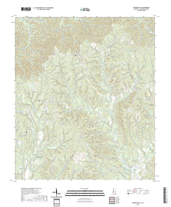
(13)- 1936 Map of Woodville, 1944 Print
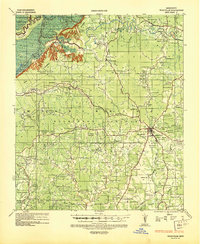 1936 Woodville1944 Print · USGSWilkinson County was a land of sprawling estates and quiet country crossroads in the mid-1930s. Genealogists can trace hundreds of family landmarks and community centers, from La Grange Plantation and Bells Store to Peach Grove Ch & Cem.
 - 1953 Map of Natchez, 1966 Print
 1953 Natchez1966 Print · USGSSouthwest Mississippi and the Louisiana border country come alive in this mid-century survey of the river valley and forest lands. Researchers can trace the rail lines of the Illinois Central RR and locate rural hubs like Gloster and Ferriday.3 unique versions available
 - 1956 Map of Natchez
 1956 Natchez1956 Print · USGSThe Mississippi River borderlands and the Pine Hills come alive in this mid-fifties study of the Natchez region. Genealogists and historians can trace rail-era towns along the Illinois Central RR and explore the oxbows of Lake Bruin and Lake Concordia.
 - 1958 Map of Woodville, 1960 Print
 1958 Woodville1960 Print · USGSWoodville and the surrounding Wilkinson County countryside are captured here in the late fifties. Genealogists can trace family roots through numerous rural landmarks like St James Ch, Pickneyville, and the Bowling Green Cem.4 unique versions available
 - 1959 Map of Natchez
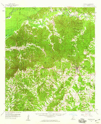
 1959 Natchez1959 Print · USGSSouthwestern Mississippi and eastern Louisiana are captured in the late fifties, showing a landscape defined by the winding Mississippi River and the timbered Homochitto National Forest. Researchers can trace the sprawling Illinois Central RR and find rural landmarks like Union Church and Camp Van Dorn (Abandoned).
 - 1984 Map of Woodville
 1984 Woodville1984 Print · USGSThe Mississippi-Louisiana borderlands in the mid-eighties show a landscape defined by the shifting MISSISSIPPI RIVER and sprawling timberlands. Researchers can trace the ILLINOIS CENTRAL GULF railroad through Gloster or locate historic river points like Fort Adams and Point Breeze.
 - 1988 Map of Pinckneyville
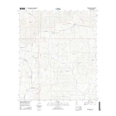
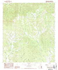 1988 Pinckneyville1988 Print · USGSWilkinson County in the late eighties remains a landscape of remote settlements and intricate bayous. Researchers can trace the rural layout of Pinckneyville and Donegal or follow the winding paths of Pinckneyville Bayou and Stockfarm Creek.
 - 1991 Map of Woodville
 1991 Woodville1991 Print · USGSWilkinson County and the Louisiana borderlands appear here in the early nineties, where the bluffs meet the Mississippi River floodplain. Trace the sites of old river landings and rural outposts like Fort Adams, Pinckneyville, and the remote Larto Lake community.
 - 2012 Map of Pinckneyville, 2012 Print
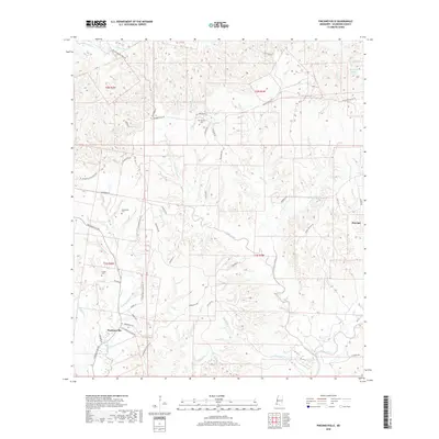
 2012 Pinckneyville2012 Print · USGSCovers Donegal, including Pinckneyville, Wilkinson County, and other nearby areas
 - 2015 Map of Pinckneyville, 2015 Print
 2015 Pinckneyville2015 Print · USGSCovers Donegal, including Pinckneyville, Wilkinson County, and other nearby areas
 - 2018 Map of Pinckneyville, 2018 Print
 2018 Pinckneyville2018 Print · USGSCovers Donegal, including Pinckneyville, Wilkinson County, and other nearby areas
 - 2020 Map of Pinckneyville, 2020 Print
 2020 Pinckneyville2020 Print · USGSCovers Donegal, including Pinckneyville, Wilkinson County, and other nearby areas
 - 2024 Map of Pinckneyville, 2024 Print
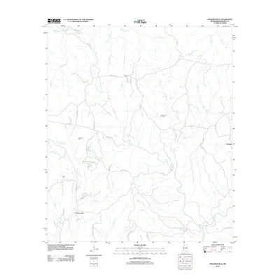
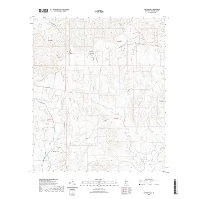
 2024 Pinckneyville2024 Print · USGSWilkinson County in the 2020s remains a landscape of deep creek valleys and historic plantation lands. Genealogists can trace family roots at Woodstock Cem and Arcole Cem, or follow the winding drainage of Bayou Sara and Pinckneyville Creek.
End of results
Showing maps 1-13 of 13
Top cities near Donegal
Frequently asked questions
- What are the different types of historical maps available for Donegal?
- What is the oldest map of Donegal?
- Where can I purchase historical maps of Donegal for my home or office?
- Where can I download high-res historical maps of Donegal?
- Are there historical topographic maps available for Donegal?
- Is there historical aerial imagery available for Donegal?
- Where are historical maps of Donegal sourced from?