Old Maps of Bentonia, Mississippi for Metal Detecting
Plan your next treasure hunt with 17 historic maps of Bentonia. Find old homesites, ghost towns, trails, and gathering spots that may be lost to time — perfect for identifying promising metal detecting locations.
- Locate forgotten sites: Uncover places like long-lost settlements, abandoned rail lines, or gathering spots.
- Plan better hunts: Use map overlays combined with LiDAR or satellite views to narrow in on historically rich areas.
- Made for detectorists: Thousands of hobbyists use these maps to discover relics, coins, and hidden history.
Use these historic maps to boost your research and find new opportunities beneath the surface of Bentonia.
Bentonia, MS maps
(17)- 1955 Map of Jackson
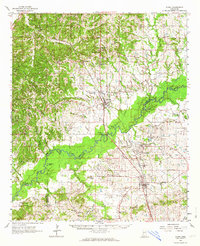
 1955 Jackson1955 Print · USGSThe Lower Mississippi Valley at the middle of the century reveals a landscape of deep river meanders and growing rail hubs. Genealogists and historians can trace the mid-century footprints of Vicksburg National Military Park, old river landings at Port Gibson, and the rail corridors of the Illinois Central Railroad.3 unique versions available
 - 1961 Map of Jackson
 1961 Jackson1961 Print · USGSThe Lower Mississippi Delta and the state capital area are captured here during the post-war era of infrastructure expansion. Researchers can trace the complex river oxbows and rail lines connecting Vicksburg, Yazoo City, and the Illinois Central Railroad network.
 - 1962 Map of Jackson
 1962 Jackson1962 Print · USGSThe Mississippi Delta and the state capital region are mapped here in the early sixties, showing a landscape defined by the great river and the growing city of JACKSON. Genealogists can trace family roots through numerous landmarks like Cedar Hill Cem, rural stops on the Illinois Central RR, and historic sites like Champion Hill.2 unique versions available
 - 1962 Map of Flora, 1964 Print
 1962 Flora1964 Print · USGSMadison and Yazoo counties in the early sixties reveal a landscape of river-bottom farms and emerging industry along the rail lines. Local historians can trace old community ties through sites like Coxs Ferry, Kearney Park, and Old Liberty Ch Cem.2 unique versions available
 - 1984 Map of Yazoo City
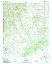
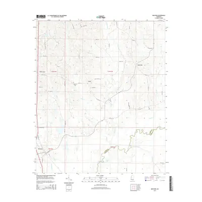
 1984 Yazoo City1984 Print · USGSThe Mississippi Delta and loess bluffs meet in the mid-eighties as the Yazoo River snakes through a dense network of wildlife areas and rail lines. Researchers can trace rural life and drainage history through small communities like Holly Bluff, Mechanicsburg, and Satartia.2 unique versions available
 - 1988 Map of Tinsley, 1989 Print
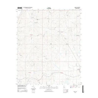
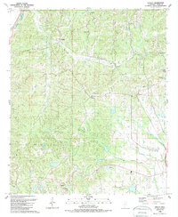 1988 Tinsley1989 Print · USGSYazoo County at the end of the eighties shows a landscape of petroleum production and rail-side settlements. Genealogists and local historians can trace rural roots through landmarks like Oil City, Gibbs Sch, and New Pleasant Grove Ch.
 - 1988 Map of Bentonia, 1989 Print
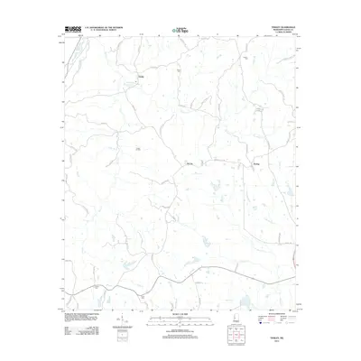
 1988 Bentonia1989 Print · USGSIn the late eighties, the Yazoo County countryside remained a patchwork of small communities and active oil fields. Genealogists can locate rural landmarks like Pleasant Grove Ch, Central Holmes Cem, and Andrew Chapel near the Big Black River.
 - 2012 Map of Bentonia, 2012 Print
 2012 Bentonia2012 Print · USGSCovers Bentonia, including Dover, Myrleville, and other nearby areas
 - 2012 Map of Tinsley, 2012 Print
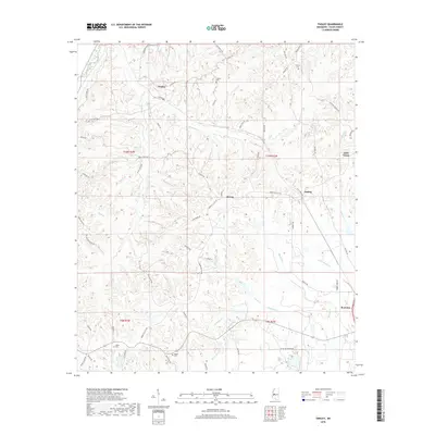
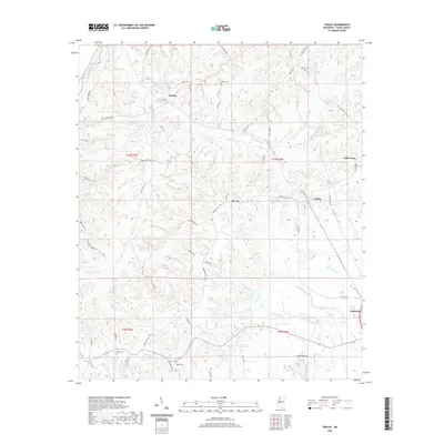
 2012 Tinsley2012 Print · USGSCovers Bentonia, including Anding, Oil City, and other nearby areas
 - 2015 Map of Tinsley, 2015 Print
 2015 Tinsley2015 Print · USGSCovers Bentonia, including Anding, Oil City, and other nearby areas
 - 2015 Map of Bentonia, 2015 Print
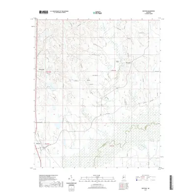
 2015 Bentonia2015 Print · USGSCovers Bentonia, including Dover, Myrleville, and other nearby areas
 - 2018 Map of Tinsley, 2018 Print
 2018 Tinsley2018 Print · USGSCovers Bentonia, including Anding, Oil City, and other nearby areas
 - 2018 Map of Bentonia, 2018 Print
 2018 Bentonia2018 Print · USGSCovers Bentonia, including Dover, Myrleville, and other nearby areas
 - 2020 Map of Bentonia, 2020 Print
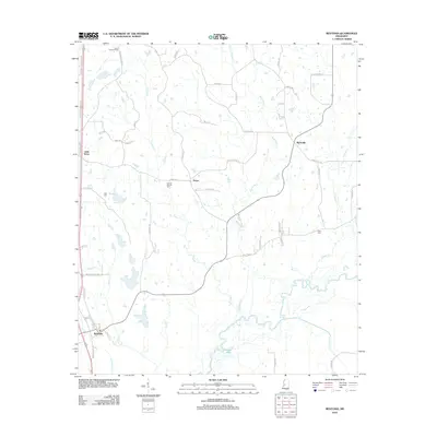
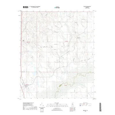
 2020 Bentonia2020 Print · USGSCovers Bentonia, including Dover, Myrleville, and other nearby areas
 - 2020 Map of Tinsley, 2020 Print
 2020 Tinsley2020 Print · USGSCovers Bentonia, including Anding, Oil City, and other nearby areas
 - 2024 Map of Tinsley, 2024 Print
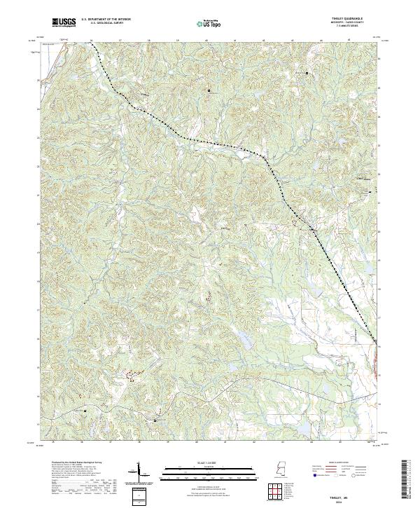 2024 Tinsley2024 Print · USGSYazoo County's rural communities and oil-field heritage are recorded in this recent survey of the Mississippi hills. Researchers can locate family landmarks such as Cessna Cem and Ogden Cem or trace the early paths of Oil City and Anding.
 - 2024 Map of Bentonia, 2024 Print
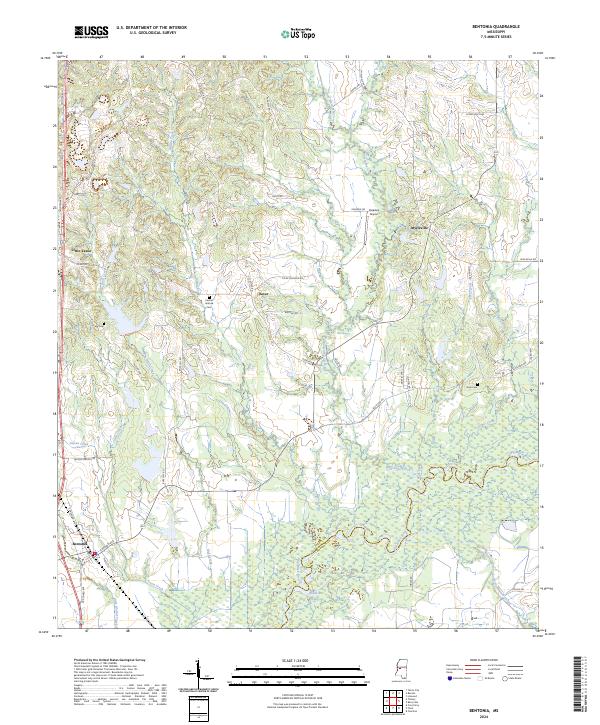 2024 Bentonia2024 Print · USGSThe borderlands of Yazoo and Madison counties are captured here in the early 2020s as the Big Black River winds through the delta. Local historians can trace family roots at Central Holmes Cem or Days Cem and locate rural hubs like Dover and Bentonia.
End of results
Showing maps 1-17 of 17
Top cities near Bentonia
- Madison historical maps
- Ridgeland historical maps
- Yazoo City historical maps
- Flora historical maps
- Satartia historical maps
Frequently asked questions
- What are the different types of historical maps available for Bentonia?
- What is the oldest map of Bentonia?
- Where can I purchase historical maps of Bentonia for my home or office?
- Where can I download high-res historical maps of Bentonia?
- Are there historical topographic maps available for Bentonia?
- Is there historical aerial imagery available for Bentonia?
- Where are historical maps of Bentonia sourced from?