Old Maps of Vaughan, Mississippi for Genealogy
Trace your family roots with 11 historic maps of Vaughan. These high-res maps reveal old neighborhoods, homesites, landmarks, and streets — helping you uncover where your ancestors lived and how the area evolved over time.
- Explore historic neighborhoods: Identify where your relatives may have lived in the 1800s or 1900s.
- Compare maps over time: Trace the changes in streets, buildings, and landmarks for multi-generational research.
- Perfect for genealogy & ancestry research: Used by family historians and researchers to map out lineage and migration.
These maps are an incredible resource for exploring your personal connection to Vaughan's past.
Vaughan, MS maps
(11)- 1955 Map of Jackson
 1955 Jackson1955 Print · USGSThe Lower Mississippi Valley at the middle of the century reveals a landscape of deep river meanders and growing rail hubs. Genealogists and historians can trace the mid-century footprints of Vicksburg National Military Park, old river landings at Port Gibson, and the rail corridors of the Illinois Central Railroad.3 unique versions available
 - 1961 Map of Jackson
 1961 Jackson1961 Print · USGSThe Lower Mississippi Delta and the state capital area are captured here during the post-war era of infrastructure expansion. Researchers can trace the complex river oxbows and rail lines connecting Vicksburg, Yazoo City, and the Illinois Central Railroad network.
 - 1962 Map of Jackson
 1962 Jackson1962 Print · USGSThe Mississippi Delta and the state capital region are mapped here in the early sixties, showing a landscape defined by the great river and the growing city of JACKSON. Genealogists can trace family roots through numerous landmarks like Cedar Hill Cem, rural stops on the Illinois Central RR, and historic sites like Champion Hill.2 unique versions available
 - 1964 Map of Vaughan, 1965 Print
 1964 Vaughan1965 Print · USGSYazoo and Madison Counties are captured here in the mid-1960s, showing a rural landscape organized around the Illinois Central line. Genealogists can locate family landmarks like Strangers Home Cem, Day Cem, and churches such as Bell Chapel.3 unique versions available
 - 1966 Map of Vaughan, 1967 Print
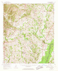 1966 Vaughan1967 Print · USGSCentral Mississippi's rural landscape comes alive in the mid-1960s, showing the intersection of rail and river life. Researchers can trace family roots at Piney Springs Cem, Holy City, and schools like Linwood Sch.2 unique versions available
 - 1984 Map of Yazoo City
 1984 Yazoo City1984 Print · USGSThe Mississippi Delta and loess bluffs meet in the mid-eighties as the Yazoo River snakes through a dense network of wildlife areas and rail lines. Researchers can trace rural life and drainage history through small communities like Holly Bluff, Mechanicsburg, and Satartia.2 unique versions available
 - 2012 Map of Vaughan, 2012 Print
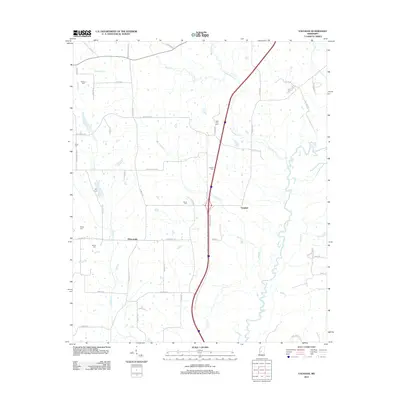 2012 Vaughan2012 Print · USGSVaughan and Deasonville appear here in the early twenty-first century, a landscape defined by the winding Big Black River. Researchers can trace old family burial sites including Williams Cem, Alsop Cem, and New Zion Cem along the rural roads.
 - 2015 Map of Vaughan, 2015 Print
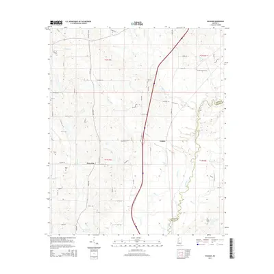 2015 Vaughan2015 Print · USGSYazoo and Madison counties meet along the winding banks of the Big Black River in this recent survey. Genealogists and local historians can trace legacy landholdings and family burial sites like Strangers Home Cem, Exum Cem, and Williams Cem.
 - 2018 Map of Vaughan, 2018 Print
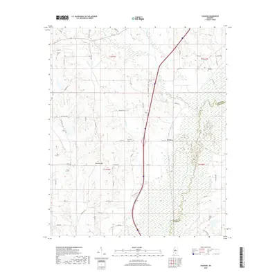 2018 Vaughan2018 Print · USGSThe rural communities of Vaughan and Deasonville are shown here as they appeared in 2018, situated along the Big Black River. Genealogists can locate numerous local burial sites such as Strangers Home Cemetery and Peaster Cemetery.
 - 2020 Map of Vaughan, 2020 Print
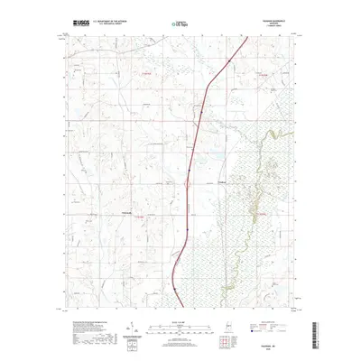 2020 Vaughan2020 Print · USGSThe rural landscapes of Yazoo and Madison County come into focus during this modern survey of the Big Black River basin. Researchers can trace the heritage of local families through numerous small burial sites, including Strangers Home Cem, Brown Cem, and Tucker Family Cem.
 - 2024 Map of Vaughan, 2024 Print
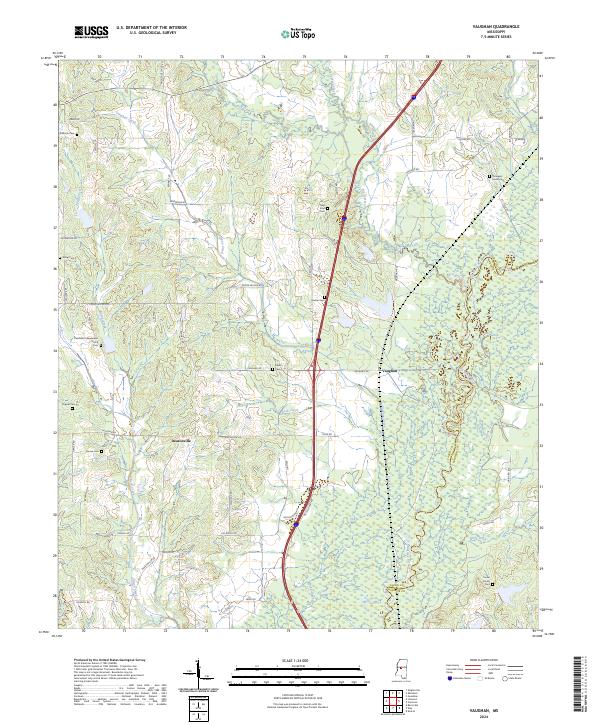 2024 Vaughan2024 Print · USGSThe Big Black River corridor between Yazoo and Madison counties comes into sharp focus in this recent survey. Genealogists and local historians can trace family land ties through numerous burial sites like Strangers Home Cem, Peaster Cem, and Brown Cem.
End of results
Showing maps 1-11 of 11
Top cities near Vaughan
Frequently asked questions
- What are the different types of historical maps available for Vaughan?
- What is the oldest map of Vaughan?
- Where can I purchase historical maps of Vaughan for my home or office?
- Where can I download high-res historical maps of Vaughan?
- Are there historical topographic maps available for Vaughan?
- Is there historical aerial imagery available for Vaughan?
- Where are historical maps of Vaughan sourced from?