Old Maps of Zeiglerville, Mississippi for Academic Research
Study the evolution of Zeiglerville with 11 high-resolution historic maps. Whether you're teaching, researching, or modeling changes in land use, these maps provide essential visual documentation of urban, environmental, and geographic change.
- Analyze long-term change: Track patterns in development, transportation, and natural features.
- Ideal for environmental or urban studies: Support academic projects with primary historical map data.
- Use in the classroom or lab: Educators and researchers rely on these maps to bring historical context to life.
These maps are a powerful tool for teaching, research, and visualizing how Zeiglerville has changed over the decades.
Zeiglerville, MS maps
(11)- 1955 Map of Jackson
 1955 Jackson1955 Print · USGSThe Lower Mississippi Valley at the middle of the century reveals a landscape of deep river meanders and growing rail hubs. Genealogists and historians can trace the mid-century footprints of Vicksburg National Military Park, old river landings at Port Gibson, and the rail corridors of the Illinois Central Railroad.3 unique versions available
 - 1961 Map of Jackson
 1961 Jackson1961 Print · USGSThe Lower Mississippi Delta and the state capital area are captured here during the post-war era of infrastructure expansion. Researchers can trace the complex river oxbows and rail lines connecting Vicksburg, Yazoo City, and the Illinois Central Railroad network.
 - 1962 Map of Jackson
 1962 Jackson1962 Print · USGSThe Mississippi Delta and the state capital region are mapped here in the early sixties, showing a landscape defined by the great river and the growing city of JACKSON. Genealogists can trace family roots through numerous landmarks like Cedar Hill Cem, rural stops on the Illinois Central RR, and historic sites like Champion Hill.2 unique versions available
 - 1964 Map of Zeiglerville, 1965 Print
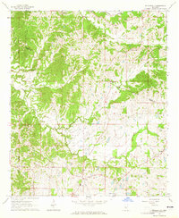 1964 Zeiglerville1965 Print · USGSThe rural border of Holmes and Yazoo Counties is captured in the mid-1960s, showing a landscape of small farm holdings and creek-side settlements. Researchers can trace family sites at Piney Springs Ch, the King Sch, and Pierce Crossroad.2 unique versions available
 - 1966 Map of Vaughan, 1967 Print
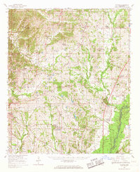 1966 Vaughan1967 Print · USGSCentral Mississippi's rural landscape comes alive in the mid-1960s, showing the intersection of rail and river life. Researchers can trace family roots at Piney Springs Cem, Holy City, and schools like Linwood Sch.2 unique versions available
 - 1984 Map of Yazoo City
 1984 Yazoo City1984 Print · USGSThe Mississippi Delta and loess bluffs meet in the mid-eighties as the Yazoo River snakes through a dense network of wildlife areas and rail lines. Researchers can trace rural life and drainage history through small communities like Holly Bluff, Mechanicsburg, and Satartia.2 unique versions available
 - 2012 Map of Zeiglerville, 2012 Print
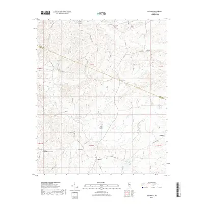
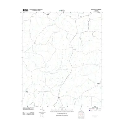 2012 Zeiglerville2012 Print · USGSCovers Zeiglerville, including Pierce Crossroad, Fordyke, and other nearby areas
 - 2015 Map of Zeiglerville, 2015 Print
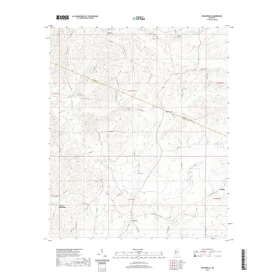
 2015 Zeiglerville2015 Print · USGSCovers Zeiglerville, including Pierce Crossroad, Fordyke, and other nearby areas
 - 2018 Map of Zeiglerville, 2018 Print
 2018 Zeiglerville2018 Print · USGSCovers Zeiglerville, including Pierce Crossroad, Fordyke, and other nearby areas
 - 2020 Map of Zeiglerville, 2020 Print
 2020 Zeiglerville2020 Print · USGSCovers Zeiglerville, including Pierce Crossroad, Fordyke, and other nearby areas
 - 2024 Map of Zeiglerville, 2024 Print
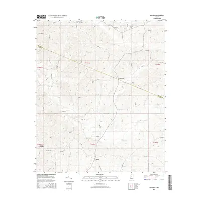
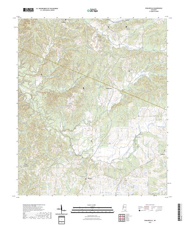 2024 Zeiglerville2024 Print · USGSThe hills of Holmes and Yazoo counties come into focus in this recent topographic study of central Mississippi. Genealogists and local historians can trace family locations through numerous sites like Brantley Cem, Riley Cem, and the crossroads at Zeiglerville.
End of results
Showing maps 1-11 of 11
Top cities near Zeiglerville
- Yazoo City historical maps
- Tchula historical maps
- Lexington historical maps
- Pickens historical maps
- Eden historical maps
Frequently asked questions
- What are the different types of historical maps available for Zeiglerville?
- What is the oldest map of Zeiglerville?
- Where can I purchase historical maps of Zeiglerville for my home or office?
- Where can I download high-res historical maps of Zeiglerville?
- Are there historical topographic maps available for Zeiglerville?
- Is there historical aerial imagery available for Zeiglerville?
- Where are historical maps of Zeiglerville sourced from?