Old Maps of Zig, Missouri for Genealogy
Trace your family roots with 9 historic maps of Zig. These high-res maps reveal old neighborhoods, homesites, landmarks, and streets — helping you uncover where your ancestors lived and how the area evolved over time.
- Explore historic neighborhoods: Identify where your relatives may have lived in the 1800s or 1900s.
- Compare maps over time: Trace the changes in streets, buildings, and landmarks for multi-generational research.
- Perfect for genealogy & ancestry research: Used by family historians and researchers to map out lineage and migration.
These maps are an incredible resource for exploring your personal connection to Zig's past.
Zig, MO maps
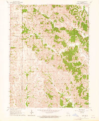
(9)- 1954 Map of Centerville, 1967 Print
 1954 Centerville1967 Print · USGSThe Iowa-Missouri borderlands at mid-century reveal a landscape shaped by river valleys and the height of the regional rail network. Genealogists and historians can trace the paths of the Wabash railroad and locate old townsites like Mystic, Moulton, and Greentop.3 unique versions available
 - 1957 Map of Centerville
 1957 Centerville1957 Print · USGSThe Iowa-Missouri borderlands in the mid-fifties reveal a landscape of river-valley agriculture and vital rail corridors. Genealogists and historians can trace family-named landmarks and small-town growth in Centerville, Kirksville, and along the Wabash railroad line.
 - 1958 Map of Centerville
 1958 Centerville1958 Print · USGSThe Iowa-Missouri borderlands come into focus during the mid-fifties, showing a landscape defined by river valleys and intersecting rail lines. Genealogists and local historians can trace family roots through dozens of rural hubs like Bloomfield, Unionville, and Corydon.
 - 1963 Map of Pure Air, 1964 Print
 1963 Pure Air1964 Print · USGSAdair and Sullivan County farmland is captured here in the early sixties, showing the rural crossroads and drainage basins of the Missouri interior. Researchers can trace family roots at Ringo Point Cem and Pure Air, or follow the banks of Spring Creek.
 - 1981 Map of Kirksville, 1982 Print
 1981 Kirksville1982 Print · USGSNortheast Missouri in the early eighties was a landscape of rail-connected trade towns and significant river valleys. Researchers can trace the legacy of medical education at the Kirksville College of Osteopathic Med or locate family roots in Unionville, Edina, and Bible Grove.
 - 2012 Map of Pure Air, 2012 Print
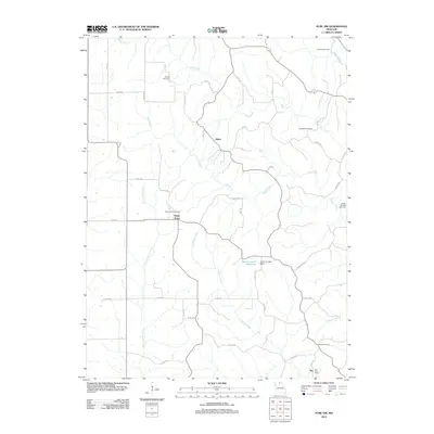 2012 Pure Air2012 Print · USGSCovers Zig, including Mines, Ringo Point, and other nearby areas
 - 2015 Map of Pure Air, 2015 Print
 2015 Pure Air2015 Print · USGSCovers Zig, including Mines, Ringo Point, and other nearby areas
 - 2017 Map of Pure Air, 2017 Print
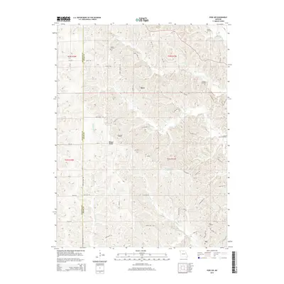
 2017 Pure Air2017 Print · USGSCovers Zig, including Mines, Ringo Point, and other nearby areas
 - 2021 Map of Pure Air, 2021 Print
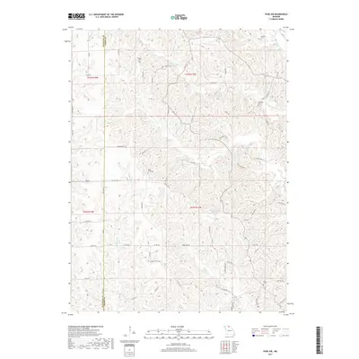
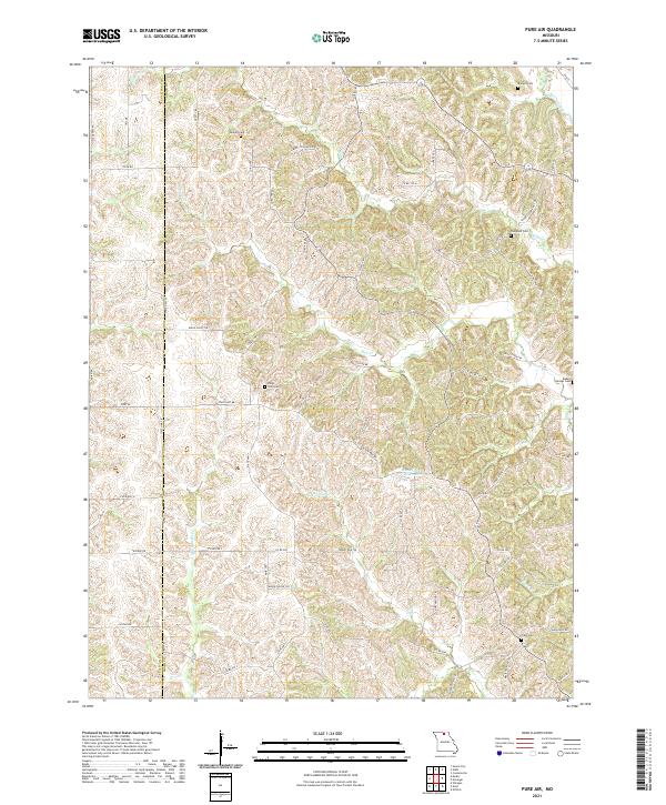 2021 Pure Air2021 Print · USGSThe Adair and Sullivan county line in northern Missouri is captured here in its modern rural character. Researchers can trace family history through several local landmarks including Ringo Point Cem, Baden Springs Cem, and Liberty School Trl.
End of results
Showing maps 1-9 of 9
Top cities near Zig
- Kirksville historical maps
- Green City historical maps
- Novinger historical maps
- Elmer historical maps
- Millard historical maps
Frequently asked questions
- What are the different types of historical maps available for Zig?
- What is the oldest map of Zig?
- Where can I purchase historical maps of Zig for my home or office?
- Where can I download high-res historical maps of Zig?
- Are there historical topographic maps available for Zig?
- Is there historical aerial imagery available for Zig?
- Where are historical maps of Zig sourced from?