2010s Maps of Andrew County, Missouri
Explore 58 historic maps of Andrew County from the 2010s. These maps offer a rare glimpse into what life looked like during the 2010s — showing old roads, neighborhoods, homes, and landmarks that have changed or disappeared over time.
Whether you're researching your family's past, planning a metal detecting trip, or studying how Andrew County's landscape evolved across the 2010s, these high-resolution maps are a powerful tool for exploring the history of this region.
- Focus on a specific era: All maps on this page are from the 2010s, giving you a focused view of this time period.
- See what’s changed: Compare century-old streets, trails, and buildings to today's modern landscape using overlays and satellite layers.
- Research with precision: Use these maps for genealogy, historical research, land use analysis, or educational projects.
- View, download, or print: Maps are fully viewable online in high resolution, and can be downloaded or printed for your own records.
Start exploring Andrew County's history through authentic maps from the 2010s. This is your window into the past.
Andrew County, MO maps
(58)- 2010 Map of Amazonia, 2010 Print
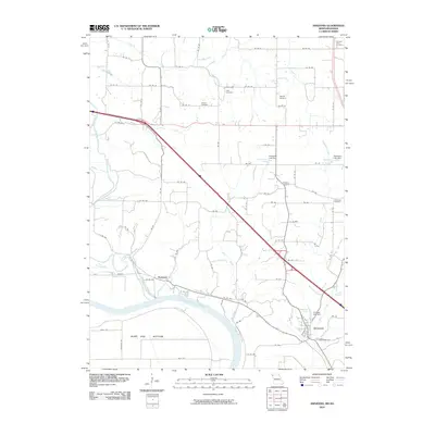 2010 Amazonia2010 Print · USGSNorth of the Missouri River in the early 2000s, this area shows the historic settlements and drainage of Andrew County. Genealogists can locate several family-named landmarks and rural burial sites like Old Union Cemetery, Jackson Cemetery, and Nodaway.
- 2011 Map of Forbes, 2011 Print
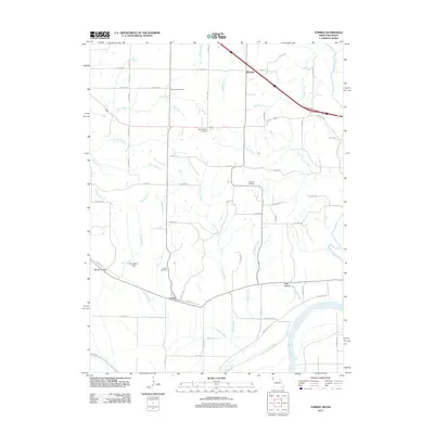 2011 Forbes2011 Print · USGSIn this 2011 survey of Holt County, the Missouri riverfront meets a landscape of rural cemeteries and winding creek branches. Genealogists and local historians can trace the areas around Forbes, Richville, and sites like Brodback Cemetery or the Mark Twain Air Strip.
- 2011 Map of Stanberry, 2011 Print
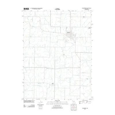 2011 Stanberry2011 Print · USGSGentry County farmland comes into sharp focus during the early twenty-first century, centered on the historic community of Stanberry. Genealogists and local historians can trace family locations near Meekers Cemetery, Island City, and the banks of Wildcat Creek.
- 2011 Map of King City, 2011 Print
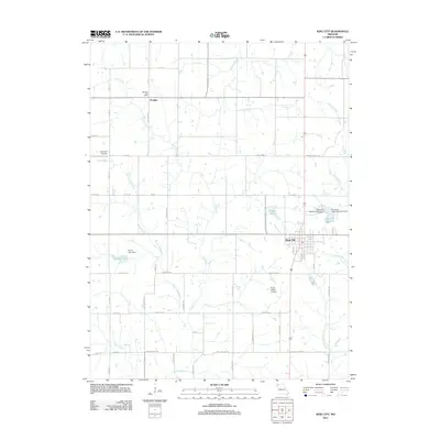 2011 King City2011 Print · USGSKing City and the rural Gentry County countryside are documented here during the early twenty-first century. Researchers can locate small-town landmarks like the Douglas Post Office or trace water resources at Limpp Lake and the King City Reservoir.
- 2011 Map of Fillmore, 2011 Print
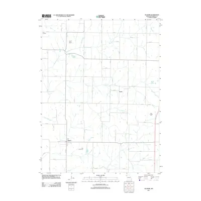 2011 Fillmore2011 Print · USGSAndrew County at the start of the decade shows a working agricultural landscape shaped by its many waterways and private airfields. Researchers can trace the roots of local settlements like Fillmore and Rankin or locate the historic Parker Post Office near Arapahoe Creek.
- 2011 Map of Barnard, 2011 Print
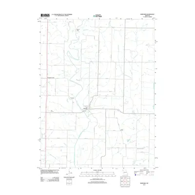 2011 Barnard2011 Print · USGSGrant Township in the early twenty-first century remains a landscape of river valleys and rural settlements. Researchers can trace family history through several local burial sites like Alumbaugh Cemetery and Jackson Cemetery or explore the riverfront near Barnard.
- 2011 Map of Bolckow NW, 2011 Print
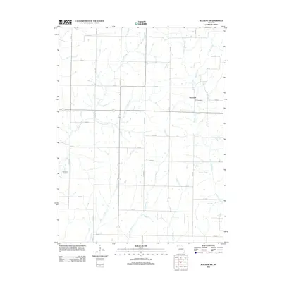 2011 Bolckow NW2011 Print · USGSNodaway County agricultural life is documented here in the early twenty-first century as rural routes connect small settlements and family landmarks. Genealogists can locate Shamberger Cemetery and Litchfield Cemetery, or trace the grounds of the White Cloud Post Office.
- 2011 Map of Whitesville, 2011 Print
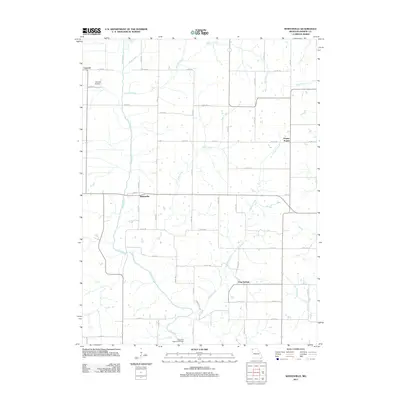 2011 Whitesville2011 Print · USGSAndrew County at the turn of the decade is shown here through its network of prairie towns and winding creeks. Genealogists can trace family lands near Whitesville, Empire Prairie, or the Elrod Mill State Access Area.
- 2011 Map of Guilford, 2011 Print
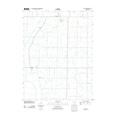 2011 Guilford2011 Print · USGSNodaway County agricultural and spiritual life are captured here in the early 21st century, centered on the village of Guilford. Genealogists and historians can trace family-named routes and landmarks like Whiteford Cemetery, the Monastery, and Conception Abbey Reservoir.
- 2012 Map of New Point, 2012 Print
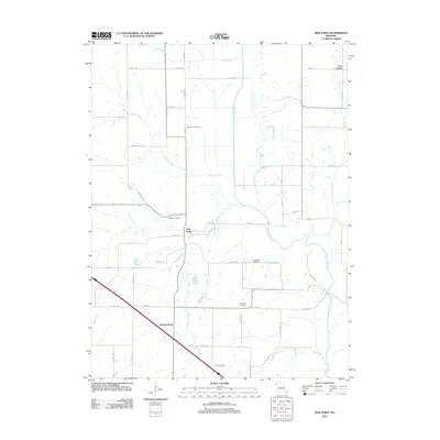 2012 New Point2012 Print · USGSHolt County's agricultural heartland is documented here in the early twenty-first century, showing a landscape defined by the winding Nodaway River. Family researchers can locate rural landmarks such as Fairview Cemetery, Nichols Grove, and the small community of New Point.
- 2012 Map of Maitland, 2012 Print
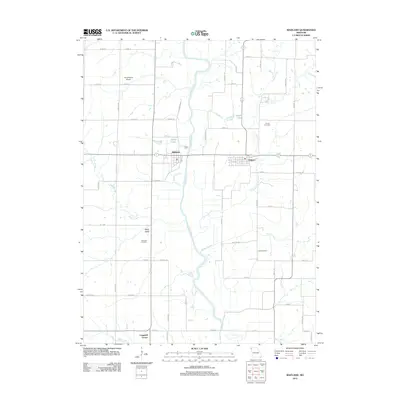 2012 Maitland2012 Print · USGSThis corner of Northwest Missouri reflects a quiet rural character in the early twenty-first century, defined by its river-valley agriculture. Researchers can trace land ties through Linville Cemetery, the settlement at Graham, and family-named landmarks like Wiley Lake.
- 2012 Map of Clarksdale, 2012 Print
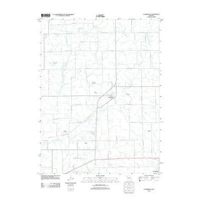 2012 Clarksdale2012 Print · USGSClarksdale and the surrounding DeKalb County countryside are captured here in the early twenty-first century as the landscape maintains its traditional agricultural character. Genealogists and local historians can trace family ties through Stone Cemetery, Thornton Cemetery, and De Kalb Cemetery.
- 2012 Map of Bolckow, 2012 Print
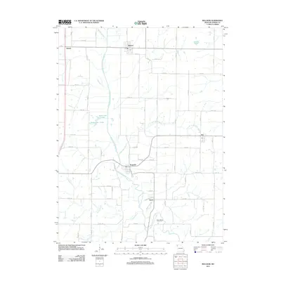 2012 Bolckow2012 Print · USGSAndrew County at the start of the 2010s reveals a deeply rooted rural landscape centered on the One Hundred and Two River. Genealogists and local historians can trace the roads and homesteads connecting Bolckow, Rosendale, and the Hadorn Bridge Access Area.
- 2012 Map of Helena, 2012 Print
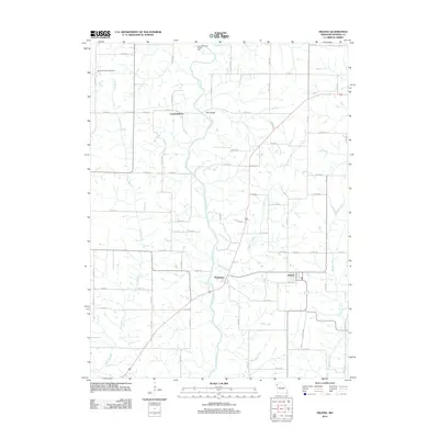 2012 Helena2012 Print · USGSAndrew County at the start of the 2010s shows a landscape deeply defined by the winding Platte River and its rural settlements. Researchers can locate Bedford Chapel Cemetery, the river crossing at Wire Bridge, and the community of Rochester near Rochester Falls.
- 2012 Map of Saint Joseph North, 2012 Print
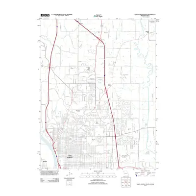 2012 Saint Joseph North2012 Print · USGSSaint Joseph is shown in its modern suburban expansion toward the loess hills in the early twenty-first century. Genealogists can trace family names across a high density of burial sites including Mount Mora, Ashland Cemetery, and Vanschoiack Cemetery.
- 2012 Map of Cosby, 2012 Print
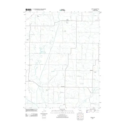 2012 Cosby2012 Print · USGSNorthwest Missouri's rural landscape comes into focus in the early 2010s, centered on the Platte River valley and its surrounding farming communities. Genealogists can locate numerous local burial sites including High Prairie Cemetery, Bethel Cemetery, and Concord Cemetery.
- 2012 Map of Union Star, 2012 Print
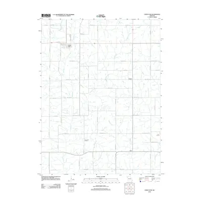 2012 Union Star2012 Print · USGSThe rural landscape around Union Star is shown here as it appeared in the early 2010s, defined by a network of agricultural roads and creek valleys. Researchers can locate family landmarks like Union Chapel Cemetery and Sharp Cemetery, or trace the path of Third Fork through the township.
- 2012 Map of Amazonia, 2012 Print
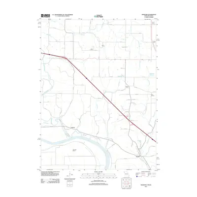 2012 Amazonia2012 Print · USGSThe Missouri River bottoms and upland hills of Andrew County appear in this 2012 survey. Researchers can trace rural cemeteries like Old Union Cemetery and Hackberry Cemetery alongside the settlements of Amazonia and Nodaway.
- 2012 Map of Savannah, 2012 Print
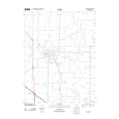 2012 Savannah2012 Print · USGSSavannah and the surrounding Missouri countryside are captured here in the early twenty-first century as the town expanded into the loess hills. Researchers can locate family heritage sites like Kellogg Cemetery, the historic County Farm, and the banks of the One Hundred and Two River.
- 2012 Map of Wathena, 2012 Print
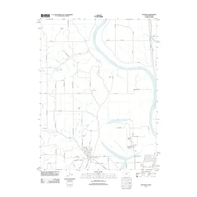 2012 Wathena2012 Print · USGSThe riverfront and farming lowlands of the Kansas-Missouri border come into focus in the early 2010s. Genealogists and historians can trace local heritage through numerous burial grounds like Bellemont Cem and Tambor Cem or explore the geography of Gladden Bottom.
- 2014 Map of New Point, 2014 Print
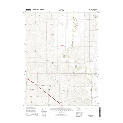 2014 New Point2014 Print · USGSHolt County and Andrew County meet along the serpentine curves of the Nodaway River in this detailed 2014 survey. Researchers can locate several historic burial grounds including Fairview Cemetery and the settlements of Nichols Grove and Lone Corner.
- 2014 Map of Barnard, 2014 Print
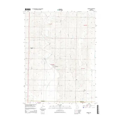 2014 Barnard2014 Print · USGSBarnard and the surrounding Grant Township rural landscape are captured here in the early twenty-first century. Genealogists and local historians can locate ancestral sites like Alumbaugh Cemetery and trace the paths of the One Hundred and Two River and White Cloud Cr.
- 2014 Map of Bolckow NW, 2014 Print
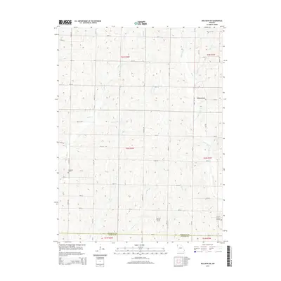 2014 Bolckow NW2014 Print · USGSNodaway County agricultural lands and small settlements are captured here in the early twenty-first century. Genealogists and local historians can locate Shamberger Cemetery, Litchfield Cemetery, and the village of Whitecloud.
- 2014 Map of Whitesville, 2014 Print
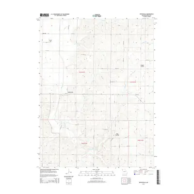 2014 Whitesville2014 Print · USGSAndrew County's agricultural heartland appears here in the early twenty-first century, showing the enduring grid of prairie roads and river valleys. Researchers can trace the local landscape around Whitesville, the rural community of Empire Prairie, and the banks of the Platte River.
- 2014 Map of Maitland, 2014 Print
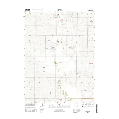 2014 Maitland2014 Print · USGSNorthwest Missouri at the turn of the decade is captured here as the Nodaway River divides Holt and Nodaway counties. Family historians can trace local roots through several burial grounds, including Schooler Cemetery and Kyle Cemetery, or explore the old streets of Maitland and Graham.
Showing maps 1-25 of 58
Top cities of Andrew County
- Savannah historical maps
- Amazonia historical maps
- Bolckow historical maps
- Fillmore historical maps
- Rosendale historical maps
- Cosby historical maps
See more
Frequently asked questions
- What are the different types of historical maps available for Andrew County?
- What is the oldest map of Andrew County?
- Where can I purchase historical maps of Andrew County for my home or office?
- Where can I download high-res historical maps of Andrew County?
- Are there historical topographic maps available for Andrew County?
- Is there historical aerial imagery available for Andrew County?
- Where are historical maps of Andrew County sourced from?