Old Maps of Lone Corner, Missouri for Metal Detecting
Plan your next treasure hunt with 10 historic maps of Lone Corner. Find old homesites, ghost towns, trails, and gathering spots that may be lost to time — perfect for identifying promising metal detecting locations.
- Locate forgotten sites: Uncover places like long-lost settlements, abandoned rail lines, or gathering spots.
- Plan better hunts: Use map overlays combined with LiDAR or satellite views to narrow in on historically rich areas.
- Made for detectorists: Thousands of hobbyists use these maps to discover relics, coins, and hidden history.
Use these historic maps to boost your research and find new opportunities beneath the surface of Lone Corner.
Lone Corner, MO maps
(10)- 1926 Map of Maitland
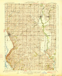 1926 Maitland1926 Print · USGSNorthwest Missouri in the mid-1920s reveals a countryside of small farms and tightly packed rural school districts. Genealogists and historians can trace family roots through dozens of local landmarks like Triumph School, Bethel Church, and the village of Graham.3 unique versions available
 - 1955 Map of Nebraska City, 1967 Print
 1955 Nebraska City1967 Print · USGSThe four-state region surrounding the Missouri River valley appears here in the mid-1950s, a landscape of rail-dependent market towns and rural school districts. Genealogists can locate family landmarks like the Rock Bluff School, St Oswald Church, and the Clarinda State Hospital.3 unique versions available
 - 1957 Map of Nebraska City
 1957 Nebraska City1957 Print · USGSThe four-state junction of Nebraska, Iowa, Missouri, and Kansas comes alive in this mid-fifties survey of the Missouri River valley. Genealogists and historians can trace the rail-and-road networks connecting Nebraska City, Maryville, and the Squaw Creek National Wildlife Refuge.
 - 1958 Map of Nebraska City
 1958 Nebraska City1958 Print · USGSThe Missouri River Valley and its fertile four-state borderlands are captured here during the mid-century expansion of the regional highway and rail networks. Genealogists can trace family roots through numerous rural landmarks like Moulton School, Shady Grove Church, and the Clarinda State Hospital.
 - 1981 Map of New Point, 1982 Print
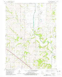 1981 New Point1982 Print · USGSHolt and Andrew counties appear as a network of rural townships and winding river bottoms in the early eighties. Genealogists can trace family lines through numerous local burial sites like Nodaway Cemetery and Cowan Cemetery near the village of New Point.
 - 1986 Map of Falls City
 1986 Falls City1986 Print · USGSThe Missouri River borderlands of Nebraska and Missouri were a landscape of established colleges and river-bound railroads in the mid-1980s. Researchers can locate long-standing landmarks like Peru State College, the Iowa Indian Reservation, and St Johns Cem.2 unique versions available
 - 2012 Map of New Point, 2012 Print
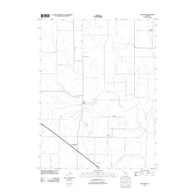 2012 New Point2012 Print · USGSCovers Lone Corner, including New Point, Nichols Grove, and other nearby areas
 - 2014 Map of New Point, 2014 Print
 2014 New Point2014 Print · USGSCovers Lone Corner, including New Point, Nichols Grove, and other nearby areas
 - 2017 Map of New Point, 2017 Print
 2017 New Point2017 Print · USGSCovers Lone Corner, including New Point, Nichols Grove, and other nearby areas
 - 2021 Map of New Point, 2021 Print
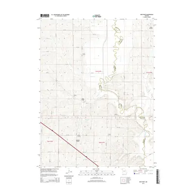
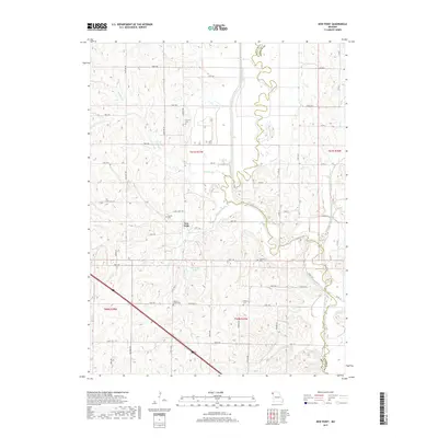
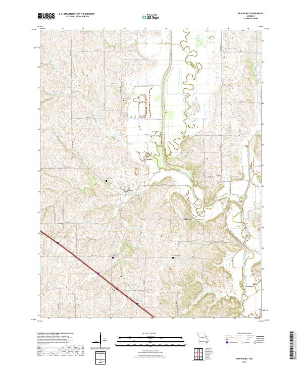 2021 New Point2021 Print · USGSHolt County's river-fed farmland and quiet rural crossroads are documented here in the early twenty-first century. Genealogists and local historians can trace family locations near New Point and several remote burial sites like Nichols Grove Cem and Nodaway Cem.
End of results
Showing maps 1-10 of 10
Top cities near Lone Corner
- Maryville historical maps
- Savannah historical maps
- Mound City historical maps
- Oregon historical maps
- Skidmore historical maps
- Forest City historical maps
See more
Frequently asked questions
- What are the different types of historical maps available for Lone Corner?
- What is the oldest map of Lone Corner?
- Where can I purchase historical maps of Lone Corner for my home or office?
- Where can I download high-res historical maps of Lone Corner?
- Are there historical topographic maps available for Lone Corner?
- Is there historical aerial imagery available for Lone Corner?
- Where are historical maps of Lone Corner sourced from?